116 Bridge Street, New Brighton
18 reports on record since April 2021 · 16 with photographs. The street’s heaviest record is 143 Bridge Street — 133 reports on file. Indicative rating valuation and school zones, hazards, bin day and what stood here before.
What gets reported here
Photographed here 16 on record



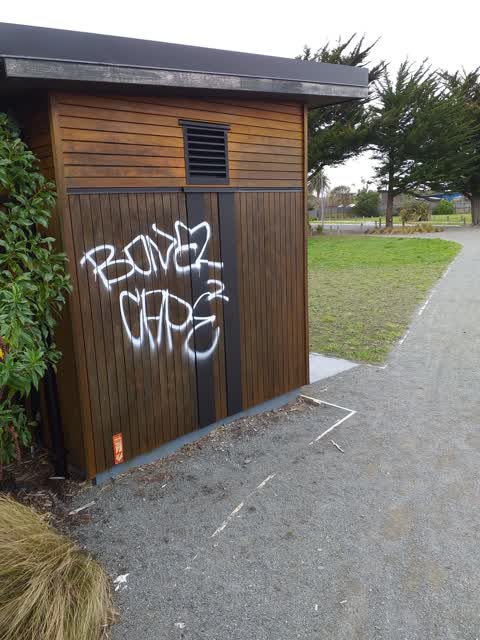
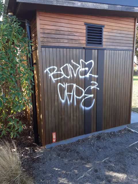
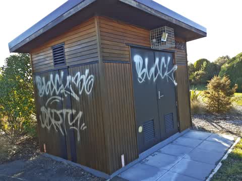
Reported here
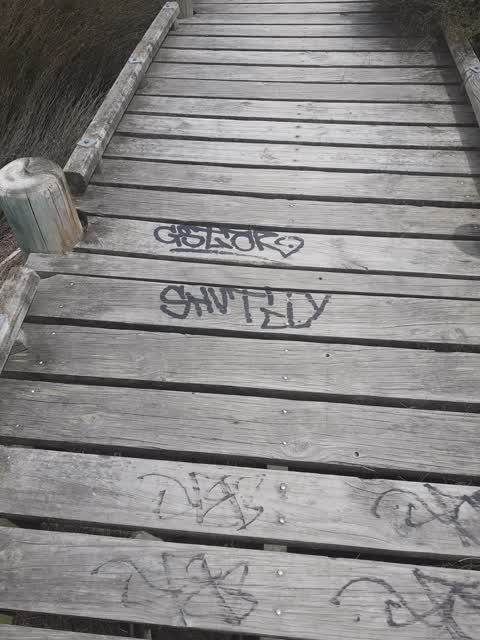
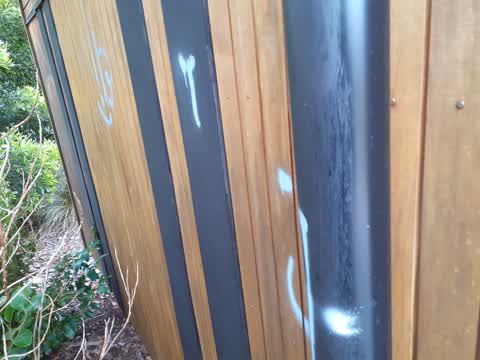
 Graffiti on a fence, building or structure —
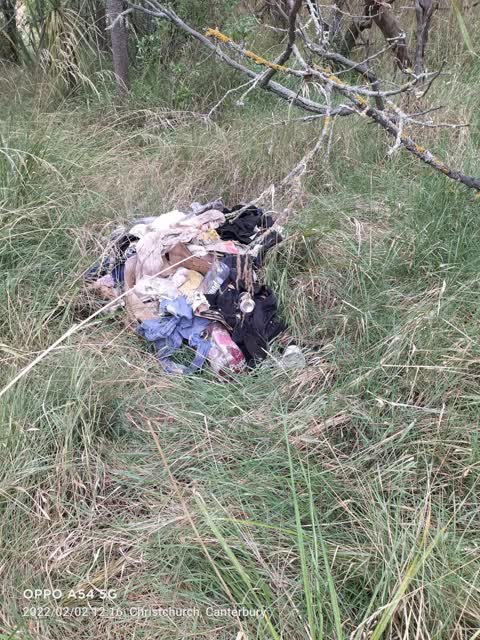
  Dumped Rubbish —
 Foam mattress has washed up on the estuary. May not be visible at high tide. It is on the estuary between the little wooden bridge & the no
 Overgrown Vegetation —
 Gorse is getting away all through this riverside cyclist area.
 Graffiti —
 Just a shame this has been done on public equipment
- Graffiti —
- Graffiti —
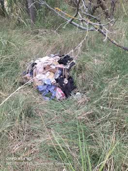 Parks —
 Rubbish by South Brighton walkway.
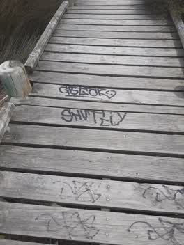 Graffiti —
 South Brighton Domain, Bridge Street
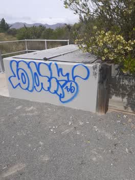 Graffiti —
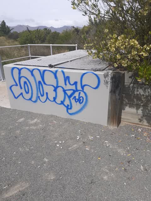
 On pump station PS228 South Brighton Reserve
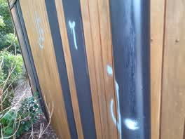 Graffiti —
 Pump Station PS229 end of Blake Street
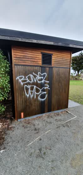 Parks —
 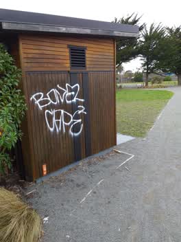 Graffiti —
 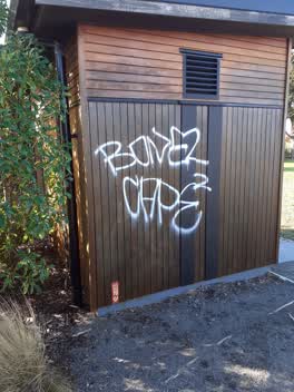 Graffiti —
 Pump station ps229
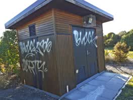 Graffiti —
 pump station PS22p
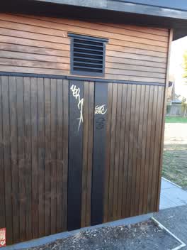 Graffiti —
 pump station ps229
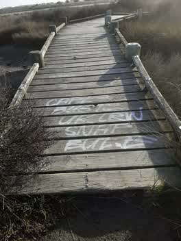 Graffiti —
 south new Brighton domain between Blake and Bridge Streets on wooden foot bridge
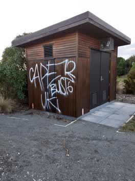 Graffiti —
 pump station PS 229 in Bridge Street Reserve.
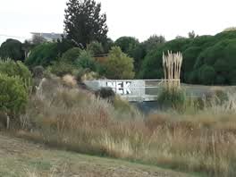 Graffiti —
Also reported on Bridge Street
- 143 Bridge Street — 133 reports
- 114 Bridge Street — 44 reports
- 200 Bridge Street — 26 reports
- 14 Bridge Street — 14 reports
- 124–156 Bridge Street — 10 reports
- 62A Bridge Street — 9 reports
- 127 Bridge Street — 9 reports
- 65 Bridge Street — 8 reports
The street’s crash record
NZTA’s record names Bridge Street in 8 crashes that hurt somebody since 2006 — 1 seriously hurt, nobody killed.
The green nearby
- Blighs Garden — 107 m to the edge · 6 ha
- Bridge Reserve — 142 m to the edge · 7 ha
- Bexley Wetland — 295 m to the edge · Regional · 15 ha
- Rat Island Reserve — 327 m to the edge · 2 ha
Parks within half a kilometre, measured to the boundary — the council’s open data.
The tracks through here
- Walk and bike track through New Brighton — 11 m to the line · walk · bike
- Walk and bike track through New Brighton — 92 m to the line · walk · bike
- Walk and bike track through New Brighton — 146 m to the line · walk · bike
- Walk and bike track through New Brighton — 180 m to the line · walk · bike
- Walk and bike track through New Brighton — 383 m to the line · walk · bike
Tracks whose line passes within half a kilometre, measured to the line itself — the council’s open data.
The named ground
Named water within 500 m of this address, measured to the line or the edge; Named places within 1.5 km of this address; the council’s own structure register — bridges, boardwalks and steps standing nearby — the open map’s record.
The remembered names nearby
- Arbor Day 1993 / Planted by Members / of the Second — 166 m away ·
ARBOR DAY 1993 / PLANTED BY MEMBERS / OF THE SECOND / BURWOOD/PEGASUS / COMMUNITY BOARD
· 2003
Inscribed plaques within two hundred and fifty metres — the register’s pins, not surveyed spots. The whole roll is at /plaques.
Renting nearby
new bonds in New Brighton ran about $520 a week — $30 below the city median of $550 — the suburb page keeps the rent record →.
The civic layer
This ground votes in Coastal ward — the Coastal-Burwood-Linwood community board. Ward lines don’t always follow suburb lines; this one is measured at the pin, not the suburb’s centre.
What stood on this ground → · On the map → · From the air — the Crown’s aerials back to 1936; search the address on RetroLens →
Questions, answered briefly
18 council reports on record since April 2021 — most often graffiti (13), parks (2), overgrown vegetation (1).
New Brighton, Christchurch — on Bridge Street.
Nothing on the heritage register at this exact spot — the record around this ground →
Blighs Garden — 107 m to its edge, 6 ha.