289 Marine Parade, New Brighton
18 reports on record since April 2016 · 8 with photographs. The street’s heaviest record is 213 Marine Parade — 338 reports on file. Indicative rating valuation and school zones, hazards, bin day and what stood here before.
What gets reported here
Photographed here 8 on record

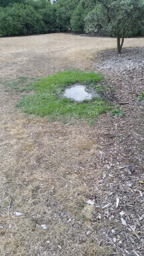
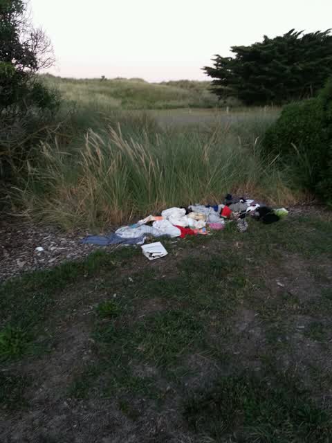
Reported here
 Graffiti on a cabinet, pole or railway asset —
  Poles and Signage - General —
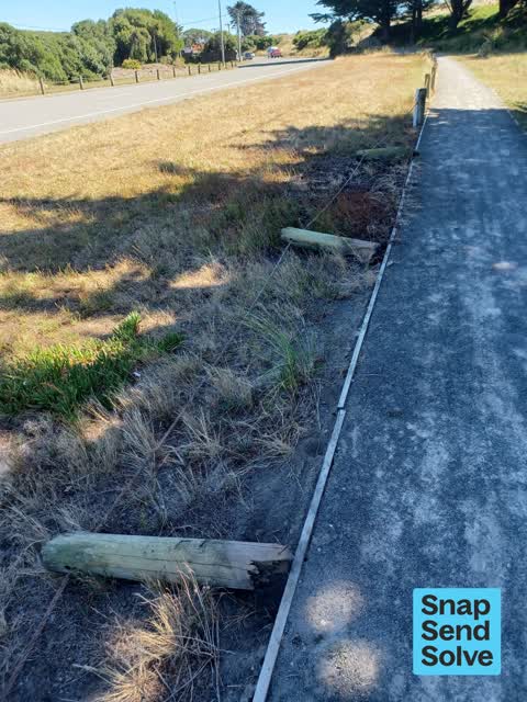
 Poles have been knocked down again so now people can drive straight onto the grass/footpath from the road
- Overgrown Vegetation —
- Road Blockage —
- Overgrown Vegetation —
- Pothole —
- General Request —
- Pest / Vermin —
- Damaged Road —
- Park - General Request —
- Park - General Request —
- Park - General Request —
Parks —
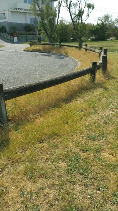
Grass needs mowing properly, this is a mess
Wastewater/Stormwater —
Job 148205 This job was 1st reported over a year ago. Can you advise progress if any? I have phoned 3 times and CCC seem unable to decide w
Roading/Streets —
Streetlight not working. This is dangerous as there is a knee height wooden pole in the middle of the footpath in the unlit area that is now
Water Supply —
I have reported this leak before. Now we are rationing water perhaps something will get done.
Rubbish/Recycling —
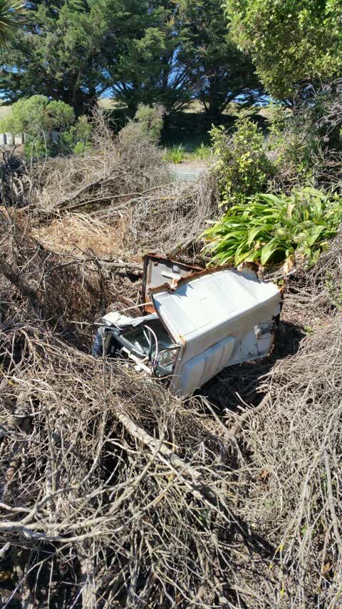
Air conditioning unit been dumped
Parks —
Also reported on Marine Parade
- 213 Marine Parade — 338 reports
- 195 Marine Parade — 171 reports
- 198 Marine Parade — 140 reports
- 144/91 Marine Parade — 109 reports
- 93 Marine Parade — 85 reports
- 225 Marine Parade — 78 reports
- 269 Marine Parade — 56 reports
- 283 Marine Parade — 51 reports
The street’s crash record
NZTA’s record names Marine Parade in 33 crashes that hurt somebody since 2006 — 2 people killed, 11 seriously hurt.
The green nearby
- New Brighton Beach — 78 m to the edge · Regional · 10 ha
- Withells Island Reserve — 328 m to the edge · 4 ha
- Blighs Garden — 333 m to the edge · 6 ha
Parks within half a kilometre, measured to the boundary — the council’s open data.
On the doorstep
- Ruelle Eatery — 190 m away · Cafés
- South Brighton Surf Life Saving Club — 305 m away · Clubs
- Union Fish and Chip Shop — 389 m away · Fast food
Businesses within four hundred metres, measured at the pin — OpenStreetMap and the council directories.
The bus nearby
The closest Metro stops, within four hundred and fifty metres.
The tracks through here
- Walk and bike track through New Brighton — 476 m to the line · walk · bike
Tracks whose line passes within half a kilometre, measured to the line itself — the council’s open data.
The named ground
Named places within 1.5 km of this address; the council’s own structure register — bridges, boardwalks and steps standing nearby — the open map’s record.
Renting nearby
new bonds in New Brighton ran about $520 a week — $30 below the city median of $550 — the suburb page keeps the rent record →.
The civic layer
This ground votes in Coastal ward — the Coastal-Burwood-Linwood community board. Ward lines don’t always follow suburb lines; this one is measured at the pin, not the suburb’s centre.
What stood on this ground → · On the map → · From the air — the Crown’s aerials back to 1936; search the address on RetroLens →
Questions, answered briefly
18 council reports on record since April 2016 — most often park - general request (3), parks (2), overgrown vegetation (2).
New Brighton, Christchurch — on Marine Parade.
Nothing on the heritage register at this exact spot — the record around this ground →
New Brighton Beach — 78 m to its edge, 10 ha.