40 Hawke Street, New Brighton
14 reports on record since November 2017 · 10 with photographs. The street’s heaviest record is 55 Hawke Street — 61 reports on file. Indicative rating valuation and school zones, hazards, bin day and what stood here before.
What gets reported here
- Graffiti — 6
- Graffiti on a fence, building or structure — 3
- Roading/Streets — 2
- General Request — 2
- Graffiti on a sign, mural or public art — 1
Photographed here 10 on record


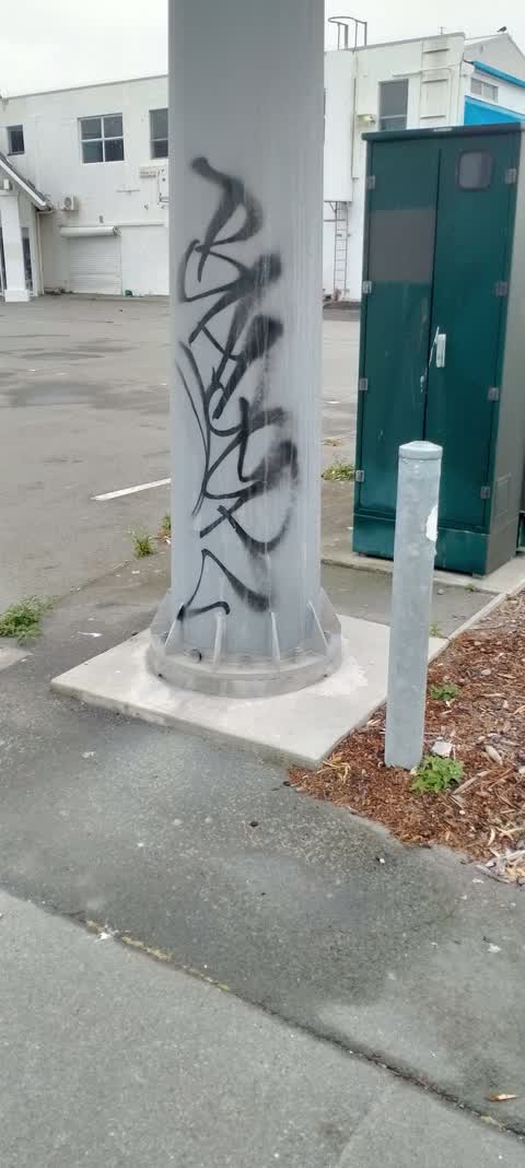
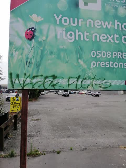

Reported here
 Graffiti on a sign, mural or public art —
 ray white sign in the carpark multiple tags on both sides
 Graffiti on a fence, building or structure —
 behind the waitmo petrol station in the empty lot two visible tags one says smoke in green and the others black
 Graffiti on a fence, building or structure —
 graffiti on fence of waitomo
 Graffiti on a fence, building or structure —
 Hi I know this on private property but Donna can send letter to rate payer
 General Request —
  General Request —
 The last three times I have filled my car at Waitomo New Brighton, the places where a fire extinguisher is meant to be located in case of em
- Graffiti —
- Graffiti —
- Graffiti —
- Roading/Streets —
Corner Bowhill road/Marine Pde North West corner. Raised grill will broken concrete edges. I had a terrible fall yesterday because of this d
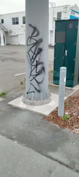 Graffiti —
 Graffiti —
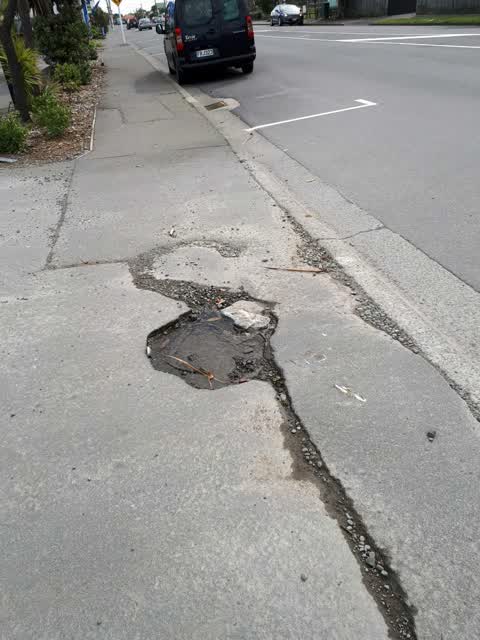
Roading/Streets —
Pothole on footpath. Dangerous. Opposite Howe zStreet on Hawke Street.
Graffiti —
Also reported on Hawke Street
- 55 Hawke Street — 61 reports
- 43 Hawke Street — 56 reports
- 44 Hawke Street — 21 reports
- 67 Hawke Street — 18 reports
- 120 Hawke Street — 16 reports
- 69 Hawke Street — 14 reports
- 57 Hawke Street — 11 reports
- 150 Hawke Street — 11 reports
The street’s crash record
NZTA’s record names Hawke Street in 31 crashes that hurt somebody since 2006 — 1 person killed, 7 seriously hurt.
The green nearby
- New Brighton Mall Playground — 163 m to the edge
- New Brighton Beach Developed — 210 m to the edge · Regional · 2 ha
- New Brighton Beach — 252 m to the edge · Regional · 10 ha
- Rawhiti Domain — 321 m to the edge · Sports ground · 61 ha
Parks within half a kilometre, measured to the boundary — the council’s open data.
The civic shelf nearby
- New Brighton Library — 286 m away · Library · 60 Brighton Mall, New Brighton, Christchurch 8061
Libraries, halls and the rest within half a kilometre — the council’s open data.
On the doorstep
- Waitomo — 12 m away · Petrol stations
- Fish 'n' Chicken — 70 m away · Fast food
- Karma Free Cafe — 70 m away · Cafés
- Switch — 76 m away · Cafés
Businesses within four hundred metres, measured at the pin — OpenStreetMap and the council directories.
The bus nearby
The closest Metro stops, within four hundred and fifty metres.
The tracks through here
- Walk and bike track through New Brighton — 148 m to the line · walk · bike
- Walk and bike track through New Brighton — 322 m to the line · walk · bike
- Walk and bike track through New Brighton — 352 m to the line · walk · bike
Tracks whose line passes within half a kilometre, measured to the line itself — the council’s open data.
The named ground
Named places within 1.5 km of this address; the council’s own structure register — bridges, boardwalks and steps standing nearby — the open map’s record.
The remembered names nearby
- New Brighton Beach Developed plaque — 237 m away ·
(illegible – small bench plaque)
· 2017 - Jason Reeves – World Champion – ‘crippa’ — 241 m away ·
JASON REEVES – WORLD CHAMPION – ‘CRIPPA’
- In Memory of the Love / of the Sea and the Zephyr Wind — 241 m away ·
IN MEMORY OF THE LOVE / OF THE SEA AND THE ZEPHYR WIND / [names list]
Inscribed plaques within two hundred and fifty metres — the register’s pins, not surveyed spots. The whole roll is at /plaques.
Renting nearby
new bonds in New Brighton ran about $520 a week — $30 below the city median of $550 — the suburb page keeps the rent record →.
What was here — St Faith's Church and Setting
113 m away · 50 Hawke Street · located to ±19 m · the place’s own record →
On the register. Nothing researched here yet.
The civic layer
This ground votes in Coastal ward — the Coastal-Burwood-Linwood community board. Ward lines don’t always follow suburb lines; this one is measured at the pin, not the suburb’s centre.
What stood on this ground → · On the map → · From the air — the Crown’s aerials back to 1936; search the address on RetroLens →
Questions, answered briefly
14 council reports on record since November 2017 — most often graffiti (6), graffiti on a fence, building or structure (3), roading/streets (2).
New Brighton, Christchurch — on Hawke Street.
The heritage register names a place at or beside it — St Faith's Church and Setting.
New Brighton Mall Playground — 163 m to its edge.