Avon And Heathcote Estuary
Regional · 34 ha
From the air
Where it sits
Its centre sits about 7.0 km east of the central city, past the suburb outlines this site keeps: a regional reserve.
The camping bylaw names this ground, Windsport Park Prohibited Area: no camping. The zone drawings sit at /rules.
What’s built on this ground
No playground is on the register here, the asset layers name none for this ground.
Also on the register: 10 seats (8 seats and 2 benches).
The register’s commission dates run 1998 to 2014.
The register’s site tag names this park, and its pins stand inside the drawn outline, two views of the same ground.
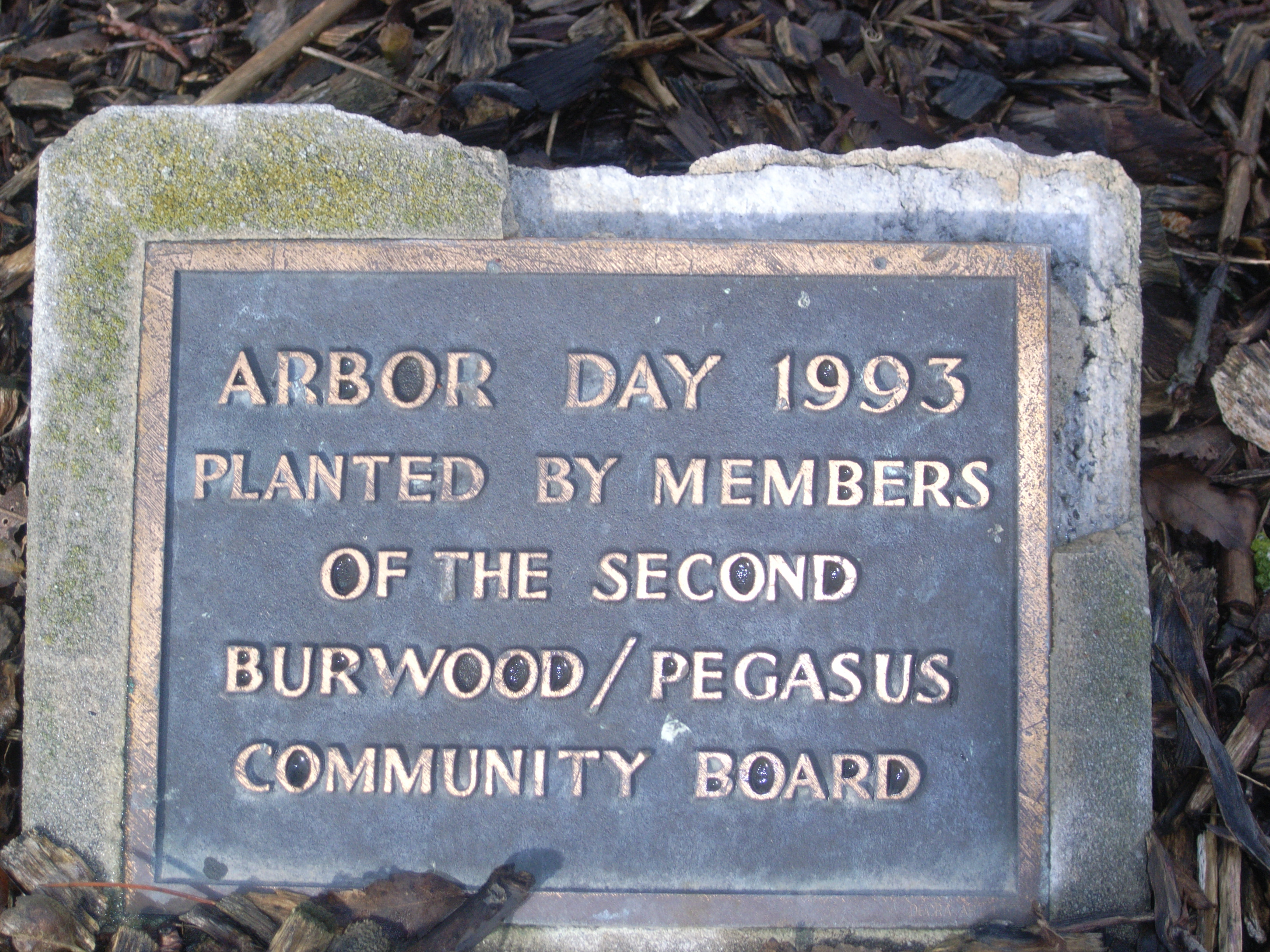
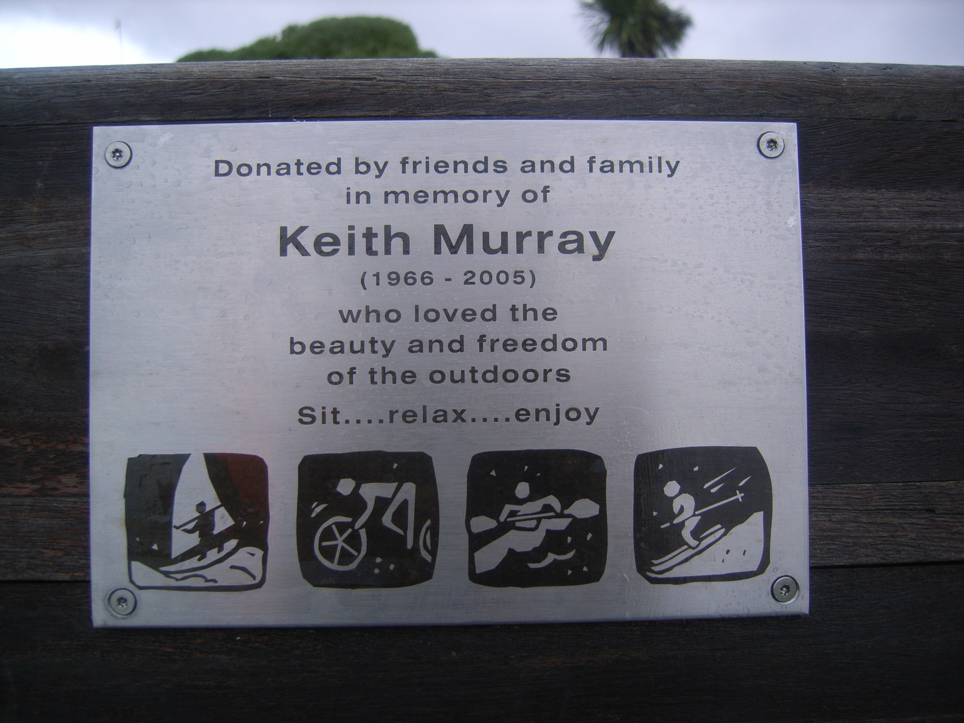
The plaques on this ground
Inscribed plaques whose pin stands inside the park's drawn outline, the remembered names the register keeps here.
The tracks through it
Track lines whose drawn course enters the park’s outline, measured against the line itself, not a buffer around it.
- Walk and bike track through Ferrymead, 1.4 km · walk · bike
- Walk and bike track through Ferrymead, 248 m · walk · bike
- Walk and bike track through South New Brighton, 2.0 km · walk · bike
Environment Canterbury / Canterbury Maps, Parks layer · refreshed 10 October 2026.
What stood on this ground before → · On the map →
Questions, answered briefly
34 hectares by the layer’s own polygon.
About 7.0 km east of the central city, past the suburb outlines this site keeps: a regional reserve.
Regional.
3 lines enter the drawn outline, listed above, measured against the line itself, not a buffer.