Runnymede Reserve
From the air
Where it sits
Its centre falls inside Templeton, suburb membership is a centroid call, not a claim the whole park lies inside the outline.
More green in Templeton
- Ruapuna Park, Sports ground · 53 ha
- Hasketts Reserve · 4 ha
- Chattertons Reserve · 4 ha
- Globe Bay Reserve · 3 ha
- Templeton Domain, Sports ground · 3 ha
- Jones Reserve, Sports ground · 2 ha
- Rimu Park · 2 ha
- Kirk Reserve · 2 ha
The reports on this ground
6 reports pinned inside the park's drawn outline, most often Trees & parks and Everything else, 6 with a photograph. A pin is where a reporter stood, not a claim about the whole park.
 General Request, 2 Westfield Ave, Canterbury, Christchurch 8042, New Zealand · 3 July 2026
 Overgrown Vegetation, 2 Westfield Ave, Canterbury, Christchurch 8042, New Zealand · 3 December 2025
 Overgrown Vegetation, 2 Westfield Avenue, Templeton, Christchurch 8042, New Zealand · 3 March 2025
 Overgrown Vegetation, 2 Westfield Avenue, Templeton, Christchurch 8042, New Zealand · 4 October 2024
 Overgrown Vegetation, 8 Runnymede Drive, Templeton, Christchurch 8042, New Zealand · 3 March 2024
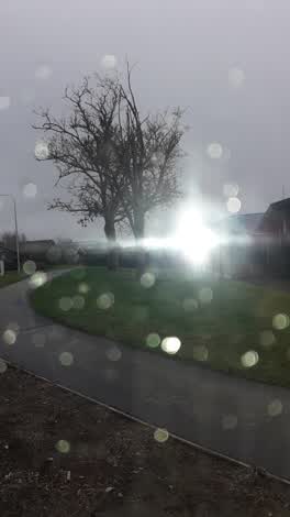 Parks, 9 Runnymede Drive, Canterbury 8042, New Zealand · 28 June 2021
Environment Canterbury / Canterbury Maps, Parks layer · refreshed 10 October 2026.
What stood on this ground before → · On the map →
Questions, answered briefly
How big is Runnymede Reserve?
594 m² by the layer’s own polygon.
Where is Runnymede Reserve?
Its centre falls inside Templeton, a centroid call, not a claim the whole park lies inside the outline.
What kind of place is Runnymede Reserve?
A park or reserve.
Where does this record come from?
Environment Canterbury’s open Parks layer, kind, size and suburb read straight from it.