Burwood Park
Sports ground · 14 ha
From the air
Where it sits
Its centre falls inside Burwood, suburb membership is a centroid call, not a claim the whole park lies inside the outline.
More green in Burwood
- Travis Wetland, Regional · 122 ha
- Horseshoe Lake Reserve, Regional · 33 ha
- Anzac Drive Reserve · 14 ha
- Donnell Sports Park, Sports ground · 5 ha
- Clarevale Reserve · 3 ha
- Amelia Rogers Reserve · 2 ha
- Brooker Reserve · 1 ha
- Robin Playground · 1 ha
What’s built on this ground
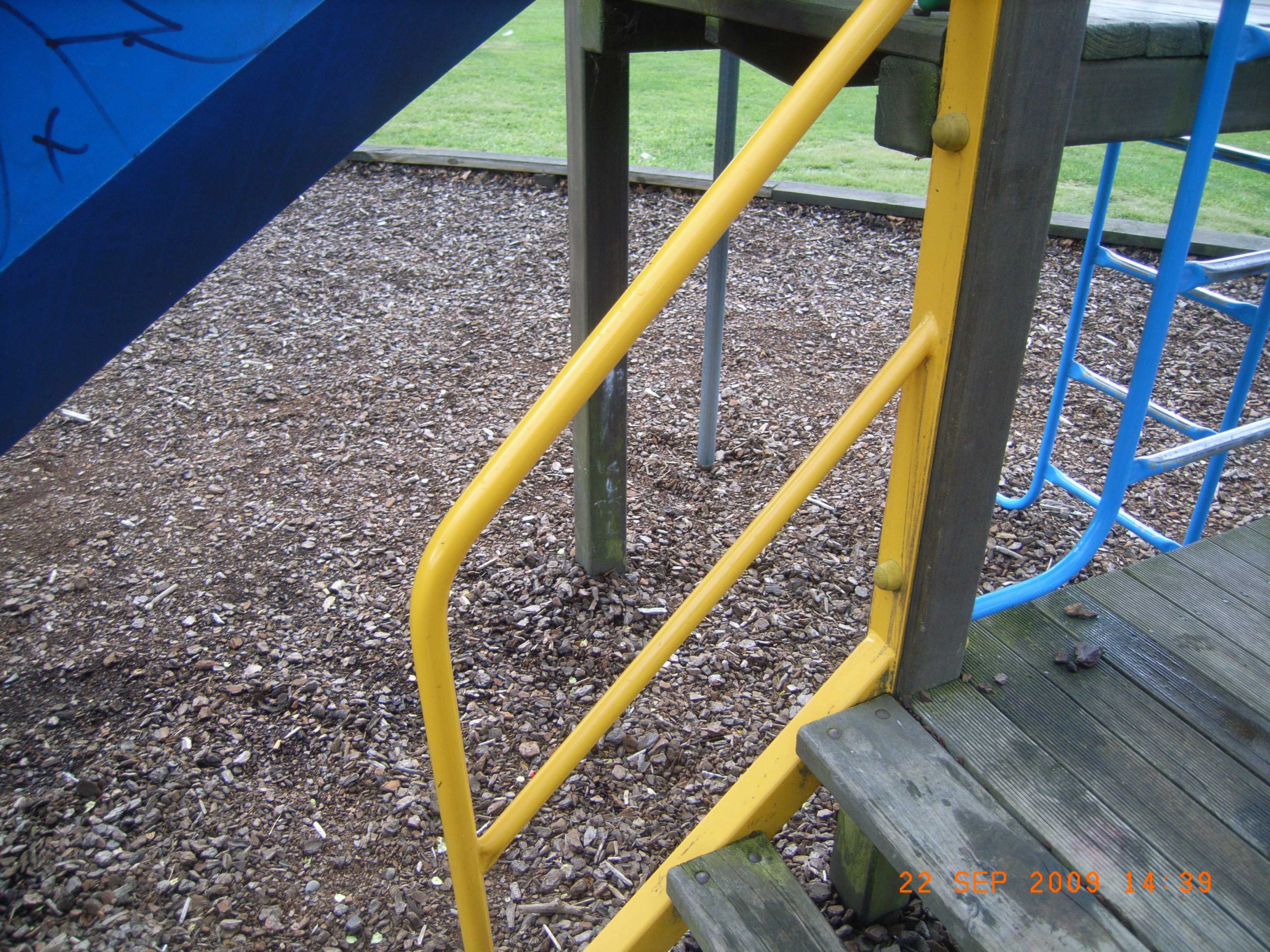
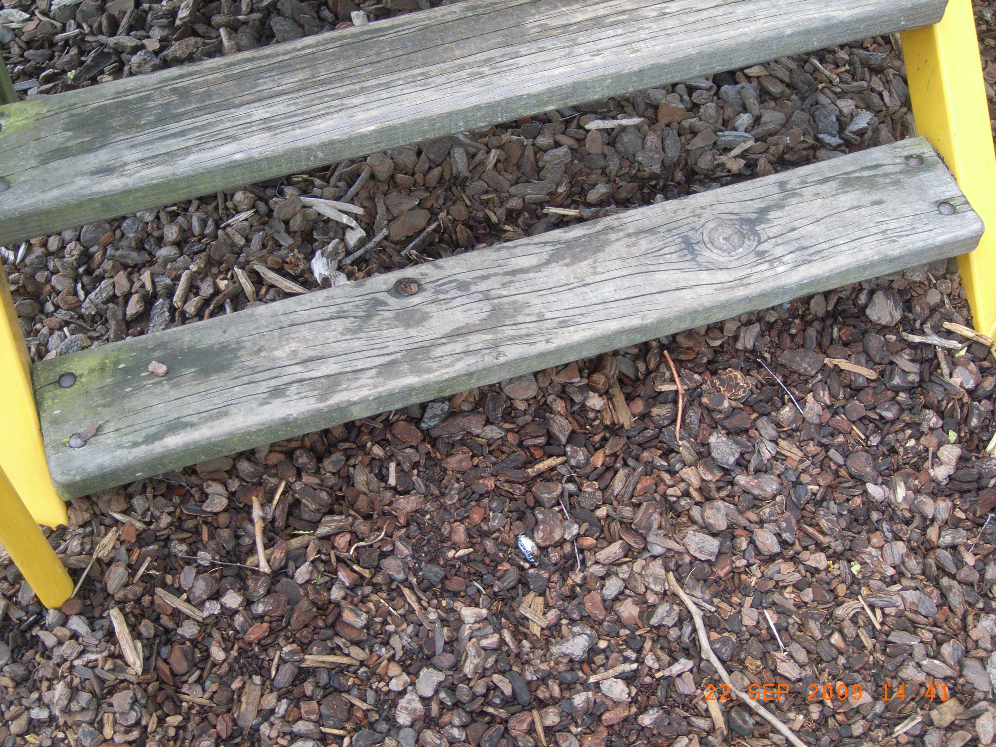
A playground stands here, the register counts 47 pieces of play equipment (11 platforms, 6 handrails, 5 ladders, 5 panels, 3 slides, 2 climbing-monkey bars, 2 swings, 2 tunnels and 2 other kinds) plus 2 modular units on a marked playground ground, the highest rated fall 4 m.
Also on the register: 13 seats (13 seats), 1 picnic table, 1 drinking fountain, 7 pieces of fitness gear (4 moving multi exercises, 1 push up bars, 1 parallel bars and 1 chin up bar) and 7 pieces of sports gear (6 cricket nets and 1 basketball hoop).
The register’s commission dates run 2009 to 2026.
The register’s site tag names this park, and its pins stand inside the drawn outline, two views of the same ground.


Sport and dogs on this ground
The recreation register marks 19 playing surfaces on this ground, 7 Tennis, 6 Rugby, 3 Cricket, Bowls, Basketball and Football, graded senior, intermediate and recreational on grass and asphalt, 10 run a winter or summer booking season.
The register books them by name, Burwood Bowling Club, Tennis Court 1, Tennis Court 5, Basketball Half Court, Tennis Court 6 and Tennis Court 7, and 13 more named grounds.
The winter window runs April to August; the summer window runs September to March; match days land on Saturday and Sunday; training runs Monday to Friday.
The register names this park, and its record centroids sit inside the drawn outline, two views of the same ground.
The plaques on this ground
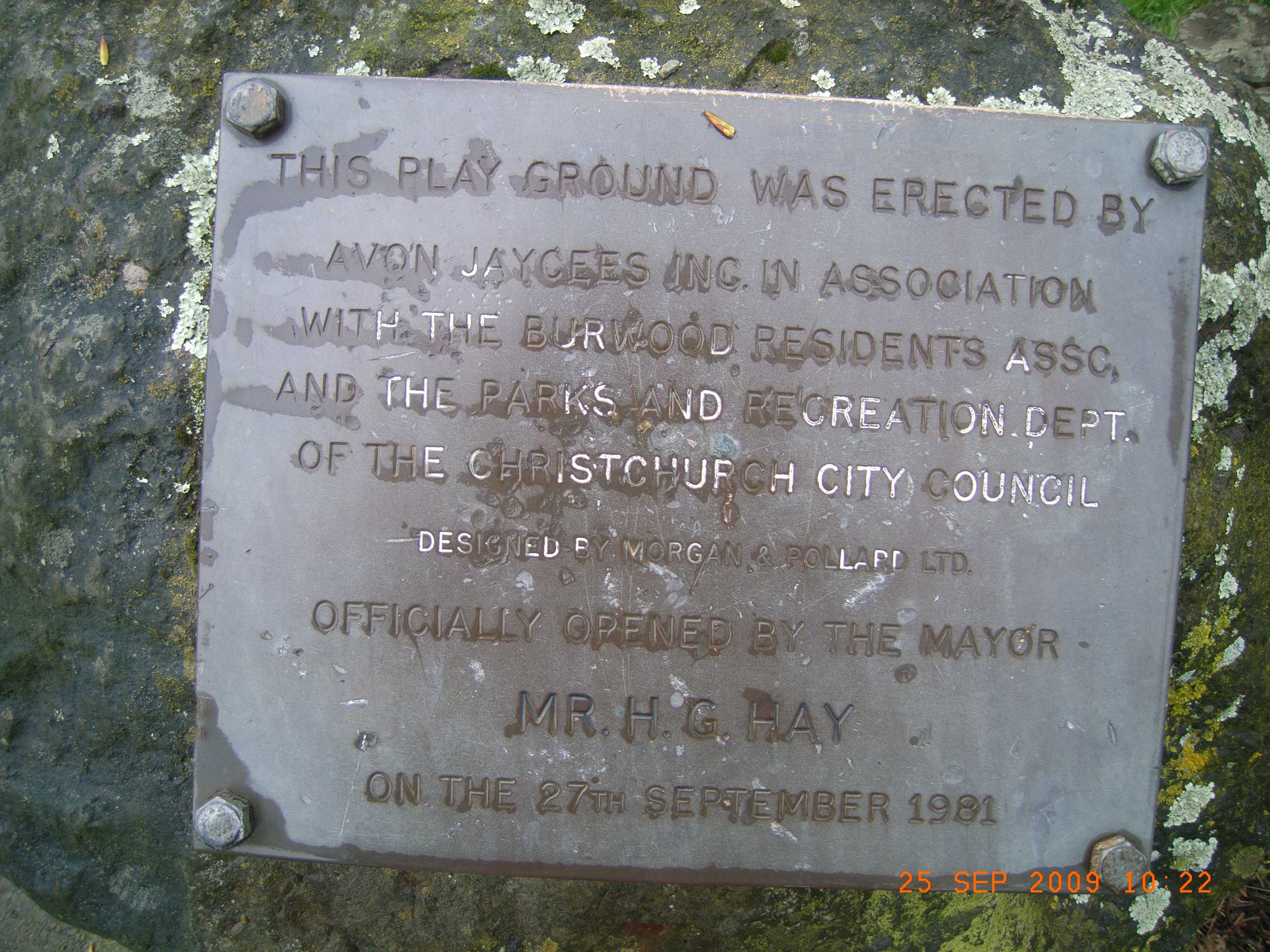
Inscribed plaques whose pin stands inside the park's drawn outline, the remembered names the register keeps here.
The reports on this ground
218 reports pinned inside the park's drawn outline, most often Trees & parks and Rubbish & dumping, 189 with a photograph. A pin is where a reporter stood, not a claim about the whole park.
 Park - General Request, 77–85 New Brighton Rd, Canterbury, Christchurch 8061, New Zealand · 8 October 2026
 General Request, 73 New Brighton Rd, Canterbury, Christchurch 8061, New Zealand · 3 October 2026
 Graffiti on a sign, mural or public art, 85 New Brighton Rd, Canterbury, Christchurch 8061, New Zealand · 12 September 2026
 Dumped Rubbish, Canterbury, Christchurch 8061, New Zealand · 5 September 2026
 Public Toilet, Burwood Park 55 Cresswell Avenue, Burwood, Christchurch 8061, New Zealand · 4 September 2026
 Water Leak, 71–75 New Brighton Rd, Canterbury, Christchurch 8061, New Zealand · 2 September 2026
 Dumped Rubbish, 77–85 New Brighton Rd, Canterbury, Christchurch 8061, New Zealand · 28 August 2026
 Dumped Rubbish, 2 Broomfield Tce, Canterbury, Christchurch 8061, New Zealand · 22 August 2026
 Graffiti on a fence, building or structure, 77–85 New Brighton Rd, Canterbury, Christchurch 8061, New Zealand · 17 August 2026
 Playground Equipment, 75E New Brighton Road, Shirley, Christchurch 8061, New Zealand · 13 August 2026
 Graffiti on a fence, building or structure, 1 Tompkins Lane, Burwood, Christchurch 8061, New Zealand · 31 July 2026
 Dumped Rubbish, Canterbury, Christchurch 8061, New Zealand · 4 July 2026
Environment Canterbury / Canterbury Maps, Parks layer · refreshed 10 October 2026.
What stood on this ground before → · On the map →
Questions, answered briefly
14 hectares by the layer’s own polygon.
Its centre falls inside Burwood, a centroid call, not a claim the whole park lies inside the outline.
Sports ground.
Environment Canterbury’s open Parks layer, kind, size and suburb read straight from it.