118 Mackworth Street, Phillipstown
34 reports on record since February 2016 · 33 with photographs. The street’s heaviest record is 120 Mackworth Street — 68 reports on file. Indicative rating valuation and school zones, hazards, bin day and what stood here before.
What gets reported here
- Parks — 15
- Graffiti — 13
- Wastewater/Stormwater — 2
- Roading/Streets — 2
- Vandalism - General — 1
- Rubbish/Recycling — 1
Photographed here 33 on record



Reported here
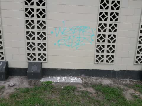
- Vandalism - General —
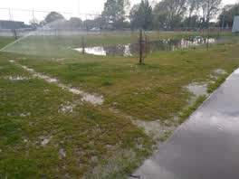 Parks —
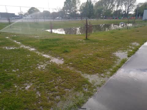
 Water is bubbling up from the grass right beside the path. And the water from the sprinklers is giving people a shower as they walk along th
Parks —
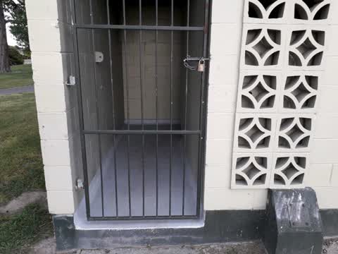
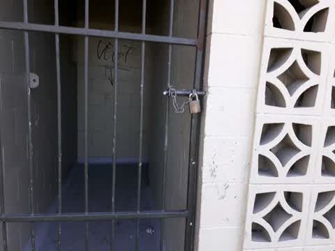
Why o why the ladies toilets locked again
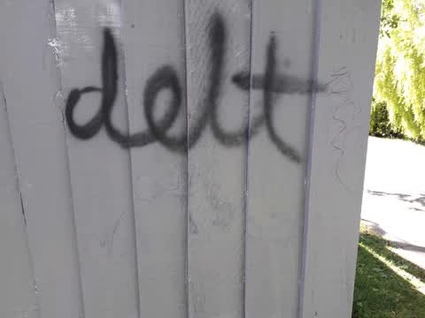
Graffiti —
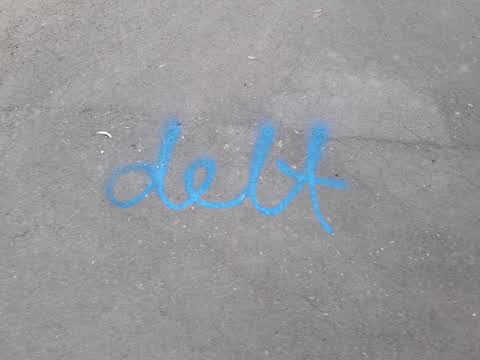
I would like to etch this word with sand paper
Parks —
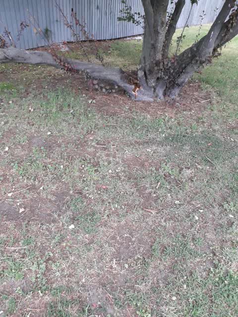
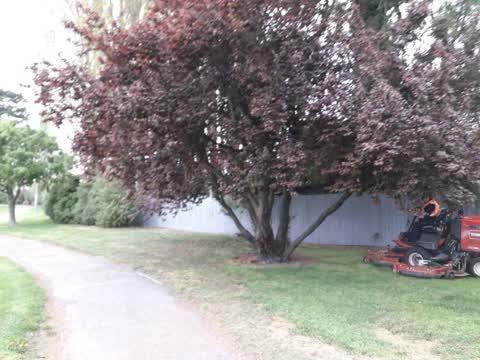
Cherry tree 1/2 Way along fence line
Graffiti —
On corner of fence
Graffiti —
Down fence line to smith st
Parks —
overhanging trees on lawn
Parks —
Unsealed footpath
Parks —
Ladies locked also guard must be lazy
Wastewater/Stormwater —
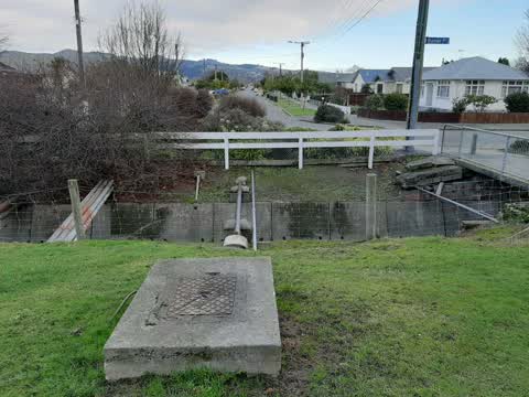
manhole blocked adjacent CCC WW project needs to know if lateral coming into line on Mackworth Street is still live please call or email co
Wastewater/Stormwater —
manhole blocked adjacent CCC WW project needs to know if lateral coming into line on Mackworth Street is still live please call or email co
Parks —
All round toilet block
Roading/Streets —
Uneven footpath on smith street side right thru to skatepark
Graffiti —
Along back fence from smith street end
Parks —
Another trolley in creek
Parks —
Trolley in creek again sorry guys
Parks —
Heaps of rubbish in creek
Graffiti —
Right along fence up to skatepark
Graffiti —
SE corner Linwood Park
Graffiti —
Linwood park East fence, extensive
Roading/Streets —
How much longer is this rubbish going to be here for reported 25th now 30 come on guys get rid of it
Rubbish/Recycling —
Rubbish dumped in linwood park.
Parks —
Fly tipping, Eastern edge of Linwood Park
Parks —
URGENT could these be removed as they have the potential fire given the strong winds URGENT
Parks —
When running at ground level why can't you dig them out instead of leaving stumps
Parks —
Congratulations guys job well done
Parks —
Rubbish a long the creek looks awful including lawn clippings thrown over fence
Graffiti —
Same fence facing park
Graffiti —
Linwood Park toilet block, bench, fence in SE corner
Graffiti —
Linwood Park East fence, several places
Graffiti —
On fence down where the fire was and around corner on footpath
Graffiti —
Graffiti —
Southeast corner, Linwood park
Also reported on Mackworth Street
- 120 Mackworth Street — 68 reports
- 119 Mackworth Street — 43 reports
- 110 Mackworth Street — 1 report
The green nearby
- Linwood Park — you are in it · Sports ground · 9 ha
- Linwood Nursery — 23 m to the edge · 1 ha
- Linwood Esplanade Reserve — 359 m to the edge
- Arran Playground — 485 m to the edge
Parks within half a kilometre, measured to the boundary — the council’s open data.
The civic shelf nearby
- Linwood Service Centre — 405 m away · Service centre
Libraries, halls and the rest within half a kilometre — the council’s open data.
On the doorstep
- Linwood Pool: Te Pou Toetoe — 195 m away · Sports centres
- Linwood Ave Rotary Market — 259 m away · Markets
- On The Go — 342 m away · Car repair
- KFC — 353 m away · Fast food
Businesses within four hundred metres, measured at the pin — OpenStreetMap and the council directories.
The bus nearby
- Eastgate Mall (Linwood Ave) — 255 m away · route 140
- Aldwins Rd near Harrow St — 397 m away · route 140, route 80, the Orbiter
The closest Metro stops, within four hundred and fifty metres.
The tracks through here
- Walk and bike track through Phillipstown — 14 m to the line · walk · bike
- Walk and bike track through Phillipstown — 18 m to the line · walk · bike
- Walk and bike track through Phillipstown — 95 m to the line · walk · bike
- Walk and bike track through Phillipstown — 156 m to the line · walk · bike
- Walk and bike track through Phillipstown — 246 m to the line · walk · bike
Tracks whose line passes within half a kilometre, measured to the line itself — the council’s open data.
The named ground
the council’s own structure register — bridges, boardwalks and steps standing nearby — the open map’s record.
The remembered names nearby
- This Tree Was Planted to Commemorate the Coronation — 128 m away ·
This tree was planted to commemorate the coronation of H.M. Elizabeth II 1953
· 2009 - Christchurch City Council / Parks and Recreation Depot — 195 m away ·
CHRISTCHURCH CITY COUNCIL / PARKS AND RECREATION DEPOT / OFFICIALLY OPENED BY / THE MAYOR
· 1899
Inscribed plaques within two hundred and fifty metres — the register’s pins, not surveyed spots. The whole roll is at /plaques.
Renting nearby
new bonds in Phillipstown ran about $490 a week — $60 below the city median of $550 — the suburb page keeps the rent record →.
The civic layer
This ground votes in Linwood ward — the Coastal-Burwood-Linwood community board. Ward lines don’t always follow suburb lines; this one is measured at the pin, not the suburb’s centre.
What stood on this ground → · On the map → · From the air — the Crown’s aerials back to 1936; search the address on RetroLens →
Questions, answered briefly
34 council reports on record since February 2016 — most often parks (15), graffiti (13), wastewater/stormwater (2).
Phillipstown, Christchurch — on Mackworth Street.
Nothing on the heritage register at this exact spot — the record around this ground →
Linwood Park — the address is inside it, 9 ha.