18 Cross Street, Phillipstown
14 reports on record since June 2019 · 11 with photographs. The street’s heaviest record is 13 Cross Street — 75 reports on file. Indicative rating valuation and school zones, hazards, bin day and what stood here before.
What gets reported here
- Rubbish/Recycling — 4
- Dumped Rubbish — 4
- Graffiti — 2
- Pavement - General — 1
- Overgrown Vegetation — 1
- Hazard — vehicle — 1
Photographed here 11 on record


Reported here
 Dumped Rubbish —
 Old bottles dumped on the footpath by 1/18 Cross Street need removal.
 Dumped Rubbish —
 Mixture of plastics, garden rubbish etc
 Hazard — vehicle —
 This car parked on our building parking lot at Unit 3's parking area. We could not locate the owner.
 General Request —
  Dumped Rubbish —
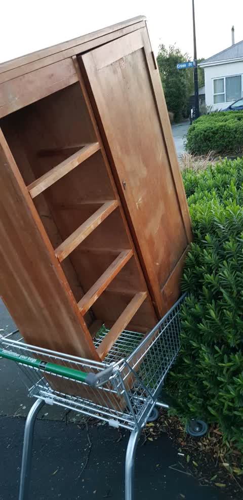
 Old wall unit
 Dumped Rubbish —
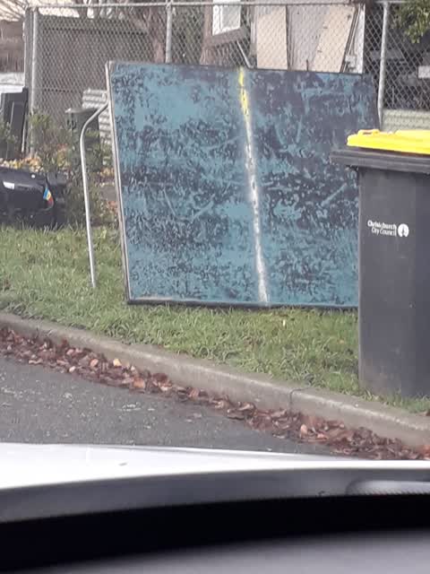
  Graffiti —
 Sea green paint tag on telecommunications asset C52A 70 by 7/18 Cross Street.
- Overgrown Vegetation —
- Pavement - General —
- Graffiti —
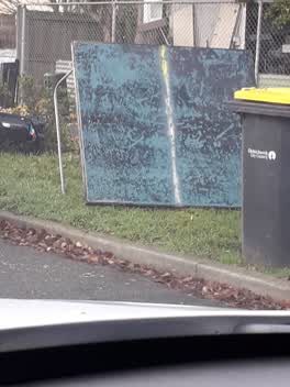 Rubbish/Recycling —
 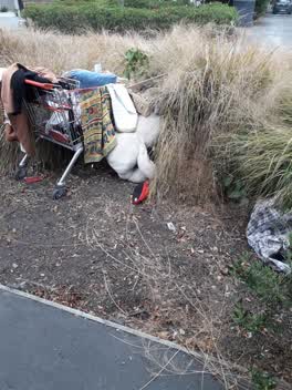 Rubbish/Recycling —
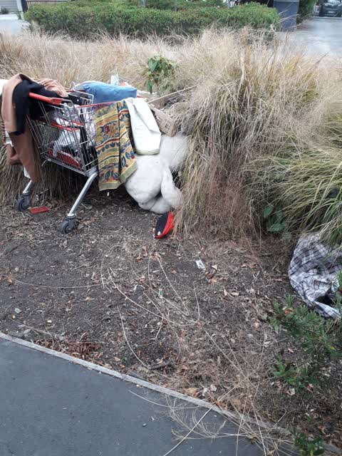
 I have already reported this last week. Household rubbish mixed with clothing etc. Because it wasn't collected it is now stinking and a heal
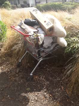 Rubbish/Recycling —
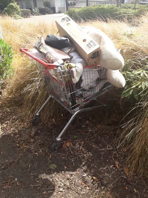
 mixture of household rubbish and clothes/toys dumped in shopping trolly, in bushes close to 18 Cross Street
Rubbish/Recycling —
Also reported on Cross Street
- 13 Cross Street — 75 reports
- 34 Cross Street — 65 reports
- 14 Cross Street — 60 reports
- 10 Cross Street — 36 reports
- 11 Cross Street — 34 reports
- 1 Cross Street — 33 reports
- 32 Cross Street — 28 reports
- 5 Cross Street — 20 reports
The street’s crash record
NZTA’s record names Cross Street in 6 crashes that hurt somebody since 2006 — 1 seriously hurt, nobody killed.
The green nearby
- Cross Reserve — 47 m to the edge
- Welcome Rest — 318 m to the edge
- Essex Reserve — 329 m to the edge
- Olliviers Reserve — 421 m to the edge
Parks within half a kilometre, measured to the boundary — the council’s open data.
On the doorstep
- Canterbury Refugee Resettlement and Resources Centre — 163 m away · Government
- Arbie Restaurant & Cafe — 195 m away · Cafés
- On the spot — 195 m away · Dairies & convenience
- Sala Thai — 197 m away · Restaurants
Businesses within four hundred metres, measured at the pin — OpenStreetMap and the council directories.
The bus nearby
- Ferry Rd near Phillipstown Cts — 221 m away · route 3, route 140
- Ferry Rd near Phillipstown Cts — 253 m away · route 3, route 140
The closest Metro stops, within four hundred and fifty metres.
The tracks through here
- Walk and bike track through Phillipstown — 206 m to the line · walk · bike
- Walk and bike track through Phillipstown — 206 m to the line · walk · bike
- Walk and bike track through Phillipstown — 325 m to the line · walk · bike
- Walk and bike track through Phillipstown — 477 m to the line · walk · bike
- Walk and bike track through Phillipstown — 492 m to the line · walk · bike
Tracks whose line passes within half a kilometre, measured to the line itself — the council’s open data.
Renting nearby
new bonds in Phillipstown ran about $490 a week — $60 below the city median of $550 — the suburb page keeps the rent record →.
The civic layer
This ground votes in Central ward — the Papanui-Innes-Central community board. Ward lines don’t always follow suburb lines; this one is measured at the pin, not the suburb’s centre.
What stood on this ground → · On the map → · From the air — the Crown’s aerials back to 1936; search the address on RetroLens →
Questions, answered briefly
14 council reports on record since June 2019 — most often rubbish/recycling (4), dumped rubbish (4), graffiti (2).
Phillipstown, Christchurch — on Cross Street.
Nothing on the heritage register at this exact spot — the record around this ground →
Cross Reserve — 47 m to its edge.