31 Leyden Street, Phillipstown
11 reports on record since May 2018 · 9 with photographs. The most-reported address on Leyden Street. Indicative rating valuation and school zones, hazards, bin day and what stood here before.
What gets reported here
- Parks — 3
- Rubbish/Recycling — 2
- Graffiti — 2
- Dumped Rubbish — 2
- Roading/Streets — 1
- Pavement - Damaged — 1
Photographed here 9 on record


Reported here
 Pavement - Damaged —
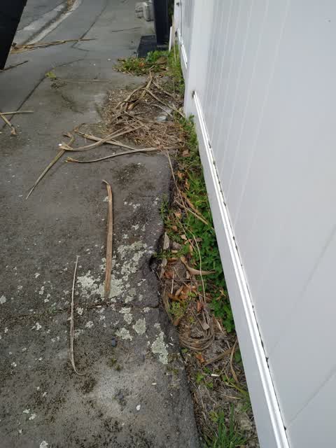
 Concrete blocks need removal from the footpath by 31 Leyden Street. OHS issue for pedestrians safety at present.
 Dumped Rubbish —
 Old pallets need removal from the footpath by 31 Leyden Street.
- Dumped Rubbish —
- Graffiti —
 Graffiti —
  Roading/Streets —
 Parks —
Rubbish/Recycling —
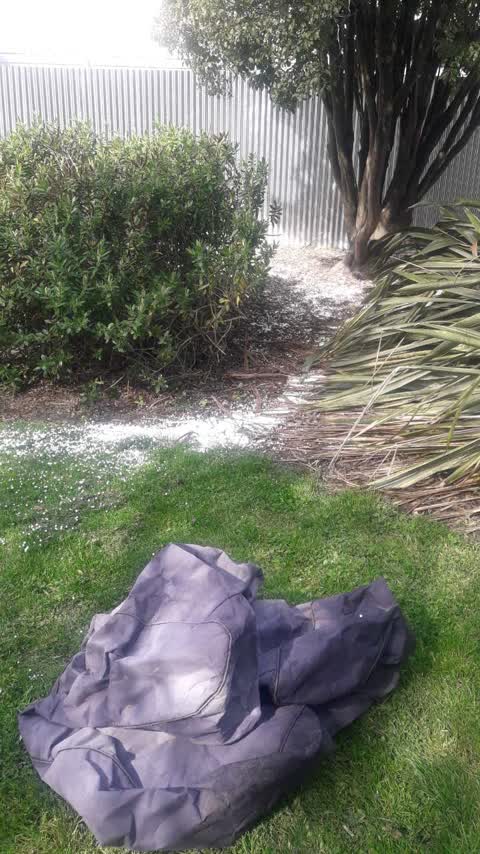
bean bags dumped at cross reserve. beans everywhere??
Rubbish/Recycling —
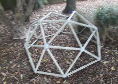
Parks —
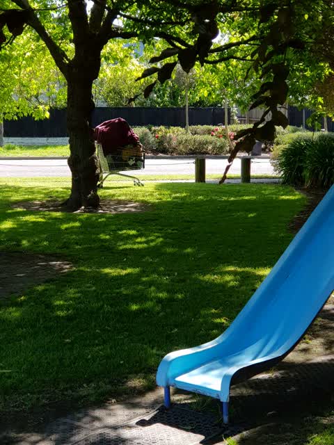
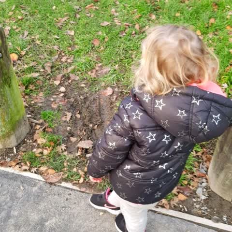
There are no paths into the playground across the grass. During Winter months we have to walk through mud Nd wet grass to get to the playgr
Parks —
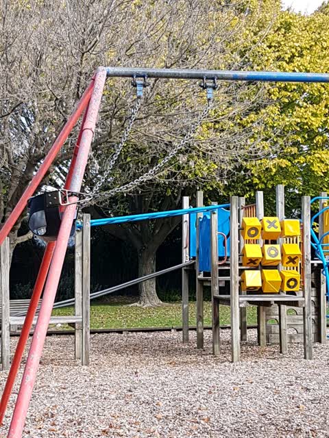
The baby swing has been wound around a pole. Perhaps by the council? Either way, it has been done with tools do needs to be unlocked to be u
Also reported on Leyden Street
- 24 Leyden Street — 9 reports
- 20 Leyden Street — 8 reports
- 1 Leyden Street — 8 reports
- 16 Leyden Street — 6 reports
- 32 Leyden Street — 5 reports
- 27 Leyden Street — 5 reports
- 29 Leyden Street — 4 reports
- 15A Leyden Street — 4 reports
The street’s crash record
NZTA’s record names Leyden Street in 1 crash that hurt somebody since 2006 — 0 seriously hurt, nobody killed.
The green nearby
- Cross Reserve — 6 m to the edge
- Welcome Rest — 331 m to the edge
- Essex Reserve — 333 m to the edge
- Olliviers Reserve — 472 m to the edge
Parks within half a kilometre, measured to the boundary — the council’s open data.
On the doorstep
- Canterbury Refugee Resettlement and Resources Centre — 141 m away · Government
- On the spot — 177 m away · Dairies & convenience
- Arbie Restaurant & Cafe — 178 m away · Cafés
- Sala Thai — 183 m away · Restaurants
Businesses within four hundred metres, measured at the pin — OpenStreetMap and the council directories.
The bus nearby
- Ferry Rd near Nursery Rd — 210 m away · route 3
- Ferry Rd near Phillipstown Cts — 222 m away · route 3, route 140
The closest Metro stops, within four hundred and fifty metres.
The tracks through here
- Walk and bike track through Phillipstown — 177 m to the line · walk · bike
- Walk and bike track through Phillipstown — 178 m to the line · walk · bike
- Walk and bike track through Phillipstown — 326 m to the line · walk · bike
Tracks whose line passes within half a kilometre, measured to the line itself — the council’s open data.
Renting nearby
new bonds in Phillipstown ran about $490 a week — $60 below the city median of $550 — the suburb page keeps the rent record →.
The civic layer
This ground votes in Central ward — the Papanui-Innes-Central community board. Ward lines don’t always follow suburb lines; this one is measured at the pin, not the suburb’s centre.
What stood on this ground → · On the map → · From the air — the Crown’s aerials back to 1936; search the address on RetroLens →
Questions, answered briefly
11 council reports on record since May 2018 — most often parks (3), rubbish/recycling (2), graffiti (2).
Phillipstown, Christchurch — on Leyden Street.
Nothing on the heritage register at this exact spot — the record around this ground →
Cross Reserve — 6 m to its edge.