400 Saint Asaph Street, Phillipstown
15 reports on record since July 2021 · 13 with photographs. The street’s heaviest record is 455 Saint Asaph Street — 37 reports on file. Indicative rating valuation and school zones, hazards, bin day and what stood here before.
What gets reported here
Photographed here 13 on record


Reported here
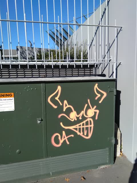
 Graffiti on a fence, building or structure —
 graffiti on grey wall
 Graffiti on a fence, building or structure —
 graffiti on grey wall
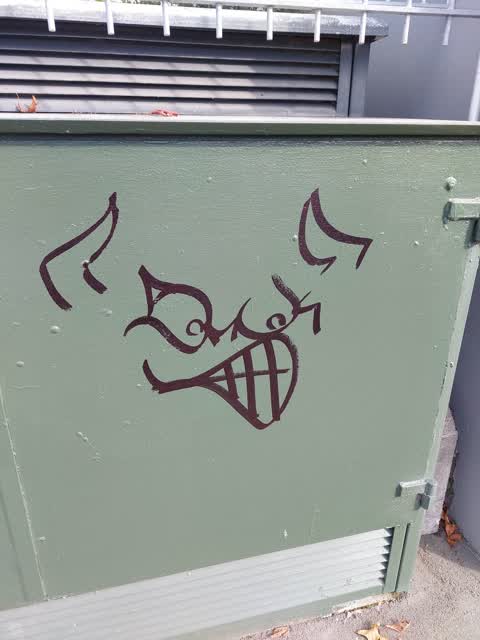
 Graffiti on a fence, building or structure —
 graffiti on water back flow preventer
 Graffiti on a fence, building or structure —
 graffiti on grey wall and grey roller door
 Graffiti on a fence, building or structure —
 graffiti on concrete block fence
 Graffiti on a fence, building or structure —
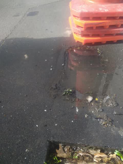
  Roads - General —
 Road side clean needed about to block drain
 Graffiti on a sign, mural or public art —
 TLC black paint tag on reverse side of road sign by 400 St Asaph Street.
- Graffiti —
- Graffiti —
 Pavement - Damaged —
 Hole in the footpath a potential OHS issue for pedestrians safety at present by 400 St Asaph Street. Needs repair.
 Graffiti —
 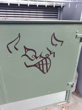 Graffiti —
 On Orion transformer 400 st Asaph street
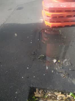 Water Supply —
 Leak from meter 400 St Asaph St
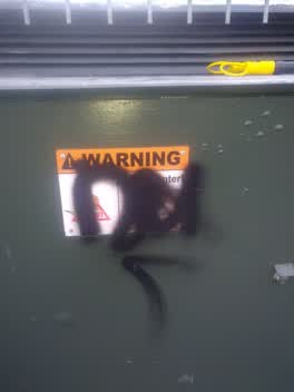 Graffiti —
 Graffiti on Orion and chorus box
Also reported on Saint Asaph Street
- 455 Saint Asaph Street — 37 reports
- 505 Saint Asaph Street — 21 reports
- 518 Saint Asaph Street — 19 reports
- 449 Saint Asaph Street — 15 reports
- 512 Saint Asaph Street — 14 reports
- 386 Saint Asaph Street — 14 reports
- 523A Saint Asaph Street — 13 reports
- 486 Saint Asaph Street — 13 reports
The green nearby
- Raglan Reserve — 355 m to the edge
- Cross Reserve — 398 m to the edge
- Essex Reserve — 405 m to the edge
- Welcome Rest — 467 m to the edge
Parks within half a kilometre, measured to the boundary — the council’s open data.
On the doorstep
- Roses Carpets — 40 m away · Carpet
- Windsor Gallery — 56 m away · Galleries
- AJ Creative Glass — 103 m away · Glaziery
- Eden Health — 105 m away · Alternative
Businesses within four hundred metres, measured at the pin — OpenStreetMap and the council directories.
The bus nearby
- St Asaph St near Phillips St — 40 m away · route 80
- Tuam St near Fitzgerald Ave — 132 m away · route 80
The closest Metro stops, within four hundred and fifty metres.
The tracks through here
- Walk and bike track through Phillipstown — 150 m to the line · walk · bike
- Walk and bike track through Phillipstown — 150 m to the line · walk · bike
- Walk and bike track through Phillipstown — 223 m to the line · walk · bike
- Walk and bike track through Phillipstown — 230 m to the line · walk · bike
- Walk and bike track through Phillipstown — 396 m to the line · walk · bike
Tracks whose line passes within half a kilometre, measured to the line itself — the council’s open data.
Renting nearby
new bonds in Phillipstown ran about $490 a week — $60 below the city median of $550 — the suburb page keeps the rent record →.
The civic layer
This ground votes in Central ward — the Papanui-Innes-Central community board. Ward lines don’t always follow suburb lines; this one is measured at the pin, not the suburb’s centre.
What stood on this ground → · On the map → · From the air — the Crown’s aerials back to 1936; search the address on RetroLens →
Questions, answered briefly
15 council reports on record since July 2021 — most often graffiti on a fence, building or structure (6), graffiti (5), water supply (1).
Phillipstown, Christchurch — on Saint Asaph Street.
Nothing on the heritage register at this exact spot — the record around this ground →
Raglan Reserve — 355 m to its edge.