42 Stanmore Road, Phillipstown
18 reports on record since May 2020 · 11 with photographs. The street’s heaviest record is 2 Stanmore Road — 41 reports on file. Indicative rating valuation and school zones, hazards, bin day and what stood here before.
What gets reported here
Photographed here 11 on record


Reported here
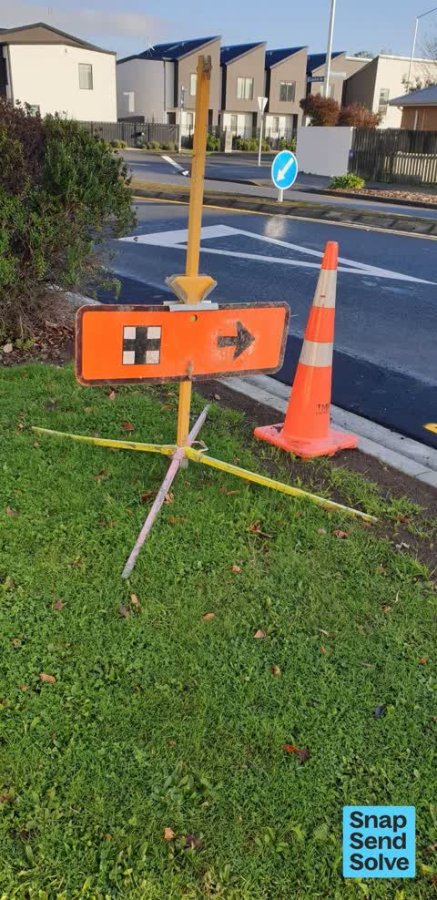
 Road Signage —
 This sign and cone have been left behind after the recent road works we had 2 weeks ago.
 Trees - General —
 This tree is dead and dying, there is supposed dripping from it, the dead branches are a Hazzard, they may fall at any time, may land on a
 Graffiti on a fence, building or structure —
 White pen on orange/yellow fence. Will be painted out by volunteers
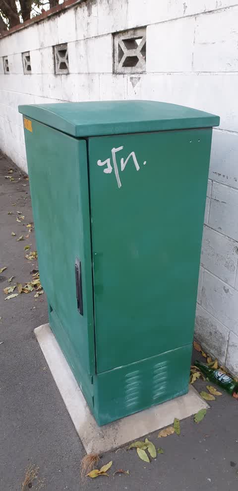
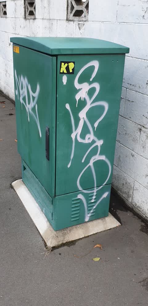
 Graffiti on a fence, building or structure —
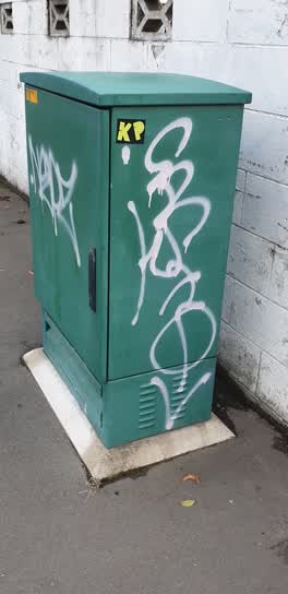
 White paint on green box
 Vandalism - General —
 Blue spray paint on the footpath
 Dumped Rubbish —
 Dumped outside 42 Stanmore Road. Belongs to 40 Stanmore Road
 Vandalism - General —
 Paint on black box. Has "Live wires "written on top of box
- Trees - General —
- Fallen Tree —
- Graffiti —
- Water Leak —
- Graffiti —
- Graffiti —
- Graffiti —
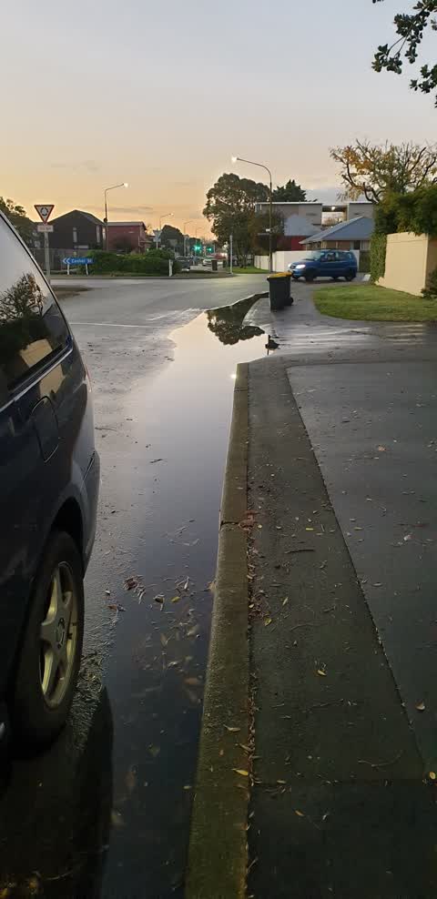
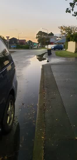 Flooding —
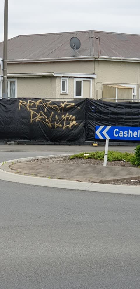
 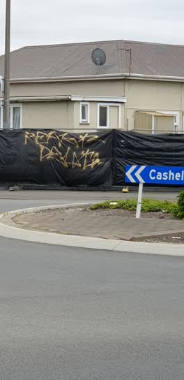 Graffiti —
 Gold paint on black plastic
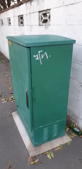 Graffiti —
 opposite 42 stanmore road
 Graffiti —
Also reported on Stanmore Road
- 2 Stanmore Road — 41 reports
- 26 Stanmore Road — 12 reports
- 42E Stanmore Road — 10 reports
- 20 Stanmore Road — 9 reports
- 16 Stanmore Road — 9 reports
- 9 Stanmore Road — 8 reports
- 42H Stanmore Road — 8 reports
- 38 Stanmore Road — 7 reports
The street’s crash record
NZTA’s record names Stanmore Road in 12 crashes that hurt somebody since 2006 — 1 person killed, 1 seriously hurt.
The green nearby
- Essex Reserve — 197 m to the edge
- Welcome Rest — 211 m to the edge
- Doris Lusk Corner — 217 m to the edge
- Raglan Reserve — 269 m to the edge
- Hereford Playground — 346 m to the edge
Parks within half a kilometre, measured to the boundary — the council’s open data.
On the doorstep
- Re Sinclair — 46 m away · Car repair
- Expandatrack — 57 m away · Curtain
- Canterbury Trails — 68 m away · Guide
- Aceomatic Transmission Services — 79 m away · Car repair
Businesses within four hundred metres, measured at the pin — OpenStreetMap and the council directories.
The bus nearby
- Stanmore Rd near Worcester St — 222 m away · route 60
- Tuam St near Nursery Rd — 261 m away · route 80
The closest Metro stops, within four hundred and fifty metres.
The tracks through here
- Walk and bike track through Phillipstown — 11 m to the line · walk · bike
- Walk and bike track through Phillipstown — 398 m to the line · walk · bike
- Walk and bike track through Phillipstown — 404 m to the line · walk · bike
- Walk and bike track through Phillipstown — 450 m to the line · walk · bike
- Walk and bike track through Phillipstown — 499 m to the line · walk · bike
Tracks whose line passes within half a kilometre, measured to the line itself — the council’s open data.
The named ground
the council’s own structure register — bridges, boardwalks and steps standing nearby — the open map’s record.
The remembered names nearby
- Doris Lusk Corner plaque — 234 m away · 2024
Inscribed plaques within two hundred and fifty metres — the register’s pins, not surveyed spots. The whole roll is at /plaques.
Renting nearby
new bonds in Phillipstown ran about $490 a week — $60 below the city median of $550 — the suburb page keeps the rent record →.
The civic layer
This ground votes in Central ward — the Papanui-Innes-Central community board. Ward lines don’t always follow suburb lines; this one is measured at the pin, not the suburb’s centre.
What stood on this ground → · On the map → · From the air — the Crown’s aerials back to 1936; search the address on RetroLens →
Questions, answered briefly
18 council reports on record since May 2020 — most often graffiti (7), vandalism - general (2), trees - general (2).
Phillipstown, Christchurch — on Stanmore Road.
Nothing on the heritage register at this exact spot — the record around this ground →
Essex Reserve — 197 m to its edge.