84 Harrow Street, Phillipstown
13 reports on record since May 2017 · 8 with photographs. The street’s heaviest record is 29 Harrow Street — 22 reports on file. Indicative rating valuation and school zones, hazards, bin day and what stood here before.
What gets reported here
- Water Leak — 2
- Roading/Streets — 2
- Pavement - Damaged — 2
- Graffiti — 2
- Traffic Signals — 1
- Street Light Outage — 1
Photographed here 8 on record




Reported here
- Traffic Signals —
Traffic signals are only letting 2 to 4 vehicles through on the green light traveling east on Harrow and turning right into Aldwins
 Damaged Street Sign —
 Street Sign for Harrow street coming off Aldwins road. The Harrow Street sign is indicating along Aldwins Road. It should be 90 degrees dif
 Street Cleaning —
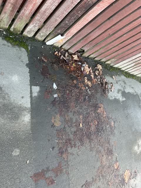
 Broken glass this intersection on harrow st
 Street Light Outage —
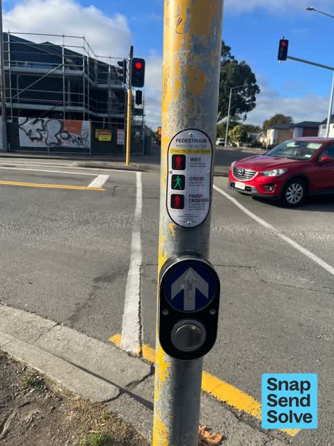
 Sorry, I’m not sure which category this should go in. The walk button at these traffic lights isn’t working. Loads of people have probably
 Pavement - Damaged —
  Graffiti —
 Tagging of the road sign in the median strip on the intersection of Aldwins Rd & Harrow St. Just before the traffic lights heading north.
- Damaged Road —
- Pavement - Damaged —
- Graffiti —
 Water Leak —
  Water Leak —
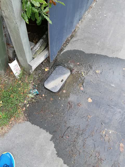
 Appears to be a leak in or near the supply tap, which is coming out into the pavement and making the pavement slippery and dangerous
Roading/Streets —
URGENT Leaking water meter right down to aldwins road
- Roading/Streets —
Harrow st Aldwins intersection the traffic signals on Harrow street won't activate with a motorcycle.
Also reported on Harrow Street
- 29 Harrow Street — 22 reports
- 54 Harrow Street — 21 reports
- 8 Harrow Street — 15 reports
- 87 Harrow Street — 13 reports
- 82 Harrow Street — 12 reports
- 30 Harrow Street — 11 reports
- 28 Harrow Street — 11 reports
- 66 Harrow Street — 10 reports
The street’s crash record
NZTA’s record names Harrow Street in 23 crashes that hurt somebody since 2006 — 5 seriously hurt, nobody killed.
The green nearby
- Linwood Park — 199 m to the edge · Sports ground · 9 ha
- Edmonds Park — 257 m to the edge · Sports ground · 2 ha
- Edmonds Factory Garden — 470 m to the edge · Botanic
- Olliviers Reserve — 493 m to the edge
- Linwood Nursery — 493 m to the edge · 1 ha
Parks within half a kilometre, measured to the boundary — the council’s open data.
The bus nearby
- Aldwins Rd near Harrow St — 64 m away · route 80, route 140, the Orbiter (anticlockwise)
- Harrow St near Glasgow St — 94 m away · route 80
The closest Metro stops, within four hundred and fifty metres.
The tracks through here
- Walk and bike track through Phillipstown — 13 m to the line · walk · bike
- Walk and bike track through Phillipstown — 19 m to the line · walk · bike
- Walk and bike track through Phillipstown — 36 m to the line · walk · bike
- Walk and bike track through Phillipstown — 62 m to the line · walk · bike
- Walk and bike track through Phillipstown — 238 m to the line · walk · bike
Tracks whose line passes within half a kilometre, measured to the line itself — the council’s open data.
The named ground
the council’s own structure register — bridges, boardwalks and steps standing nearby — the open map’s record.
Renting nearby
new bonds in Phillipstown ran about $490 a week — $60 below the city median of $550 — the suburb page keeps the rent record →.
The civic layer
This ground votes in Central ward — the Papanui-Innes-Central community board. Ward lines don’t always follow suburb lines; this one is measured at the pin, not the suburb’s centre.
What stood on this ground → · On the map → · From the air — the Crown’s aerials back to 1936; search the address on RetroLens →
Questions, answered briefly
13 council reports on record since May 2017 — most often water leak (2), roading/streets (2), pavement - damaged (2).
Phillipstown, Christchurch — on Harrow Street.
Nothing on the heritage register at this exact spot — the record around this ground →
Linwood Park — 199 m to its edge, 9 ha.