Canterbury Agricultural Park / Was Officially
A plaque at Canterbury Agricultural Park, standing in Hillmorton. The words below are the register’s own transcription, the casing, the spelling, the typos.
CANTERBURY AGRICULTURAL PARK / WAS OFFICIALLY OPENED BY THE / GOVERNOR GENERAL / SIR MICHAEL HARDIE BOYS G.C.M.G. / ON FRIDAY 14TH NOVEMBER 1997 / DURING THE NEW ZEALAND ROYAL SHOW / J.W. MARSHALL – PRESIDENT / CANTERBURY A & P ASSOC. / K.G. McKENZIE – PRESIDENT / ROYAL AGRICULTURAL SOCIETY
The register’s own frame
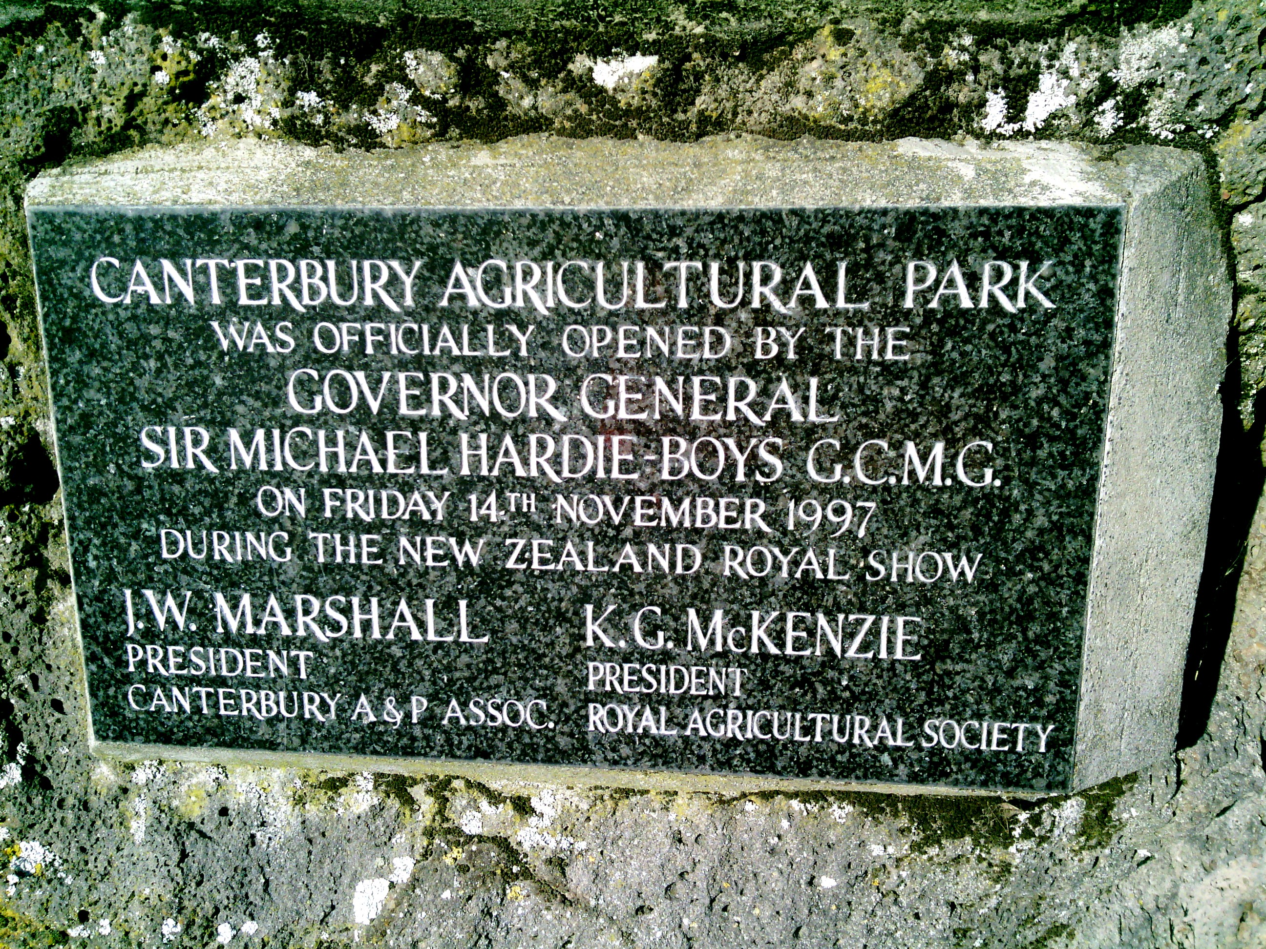
The council’s image, opened at its own host, the frame is the record’s, the reading is yours.
Where it stands
The record’s own pin; the strong outline is the suburb around it, the rest are its neighbours.
The ground’s other names
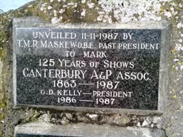 Unveiled 11‑11‑1987 by / T.M.R. Maskew O.B.E. Past President
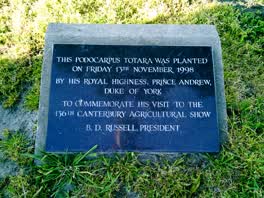 This Podocarpus Totara
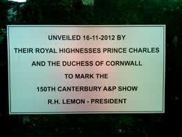 Unveiled 16‑11‑2012
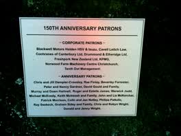 150th Anniversary Patrons / — Corporate Patrons
In the archive
A name read off an inscription is a lead, not a verified identity, the search is where verification starts.
The ground under it
The plans and surveys kept here, asked once of the pin. The whole stack answers live: what stood on this ground →
Around it
The reports nearby
96 council reports pinned within 250 m of the point, most often Roads & footpaths and Trees & parks, 76 with a photograph. A pin is where a reporter stood, not a claim about the place itself.
 Damaged Street Sign
 Road Signage
 Pavement - Damaged
 Pavement - Damaged
 Pavement - Damaged
 Dumped Rubbish
 Dumped Rubbish
 Dumped Rubbish
 Water Leak
 Pavement - Damaged
 Park - General Request
Questions, answered briefly
A plaque of Christchurch, standing at Canterbury Agricultural Park in Hillmorton, one record on the council’s plaque register for the public estate.
The words above, verbatim, the surveyor’s transcription, casing, spelling and typos as they were read off the plaque. The register does not say who the name belonged to; the dedication is the whole of the record.
5 plaques on the register share this ground, the others are linked above.
The register marks it in service, commissioned 2018. The books' word, though, a plaque may have weathered since the survey, and the pin is the record’s position.
The record behind this
Christchurch City Council’s open data, the Furniture service’s Plaque layer. The inscription is the surveyor’s transcription; "In Service" is the books, not a promise the plaque still reads clean today. The pin is the record’s position on the layer.
This page as markdown: /plaque/310353-canterbury-agricultural-park.md · the roll: /plaques · the record as data: /plaques.json · on the big map: /map?layer=plaques · the monuments the crowd mapped: /memorial · what stood on this ground before: /before.