15 Valerie Place
3 council reports since July 2020, 3 carrying a photograph. The most-reported address on Valerie Place.
From the air, then
Sourced from Canterbury Maps and partners. LINZ, CC BY 3.0 NZ. Each frame is cut from Environment Canterbury’s historic imagery MapServer for that decade, only where the Footprints layer names a CC BY survey (NZAM-covered spots stay out). RetroLens holds more Crown aerials →
The green nearby
- Redwood Park, 114 m to the edge · Sports ground · 7 ha · playground, 26 pieces
- Momorangi Reserve, 365 m to the edge · playground, 44 pieces
- Marlene Reserve, 434 m to the edge · playground, 21 pieces
- Paddington Playground, 447 m to the edge · 1 ha · playground, 25 pieces
- Barnes Reserve, 473 m to the edge · 2 ha
Parks within half a kilometre, measured to the boundary, the council’s open data. The whole roll is at /parks.
The civic shelf nearby
- Redwood Library, 200 m away · Library
Libraries, halls and the rest within half a kilometre, the council’s open data.
On the doorstep
- Northcote Community Dental Clinic, 125 m away · Dentists
- Caltex, 148 m away · Petrol stations
- Bridgestone, 151 m away · Tyre shops
- Northcote Motor Lodge, 171 m away · Motels
Businesses within four hundred metres, measured at the pin, OpenStreetMap and the council directories.
The bus nearby
- Main North Rd near Tuckers Rd, 198 m away · route 1, route 95
- Main North Rd near Tuckers Rd, 226 m away · route 1, route 95, route 125
The closest Metro stops, within four hundred and fifty metres.
The tracks through here
- Walk and bike track through Redwood, 15 m to the line · walk · bike
- Walk and bike track through Redwood, 116 m to the line · walk · bike
- Walk and bike track through Redwood, 255 m to the line · walk · bike
- Walk and bike track through Redwood, 367 m to the line · walk · bike
- Walk and bike track through Redwood, 377 m to the line · walk · bike
Tracks whose line passes within half a kilometre, the council’s open data.
The named ground
Named water within 500 m of this address, measured to the line or the edge, the open map’s record.
Renting nearby
new bonds in Redwood ran about $542 a week, about the city median, the suburb page keeps the rent record →.
What gets reported here
Photographed here 3 on record

What’s on record
 Abandoned Vehicle, 23 Dec 2025
unregistered vehicle parked in front of our house for weeks now. starting to wonder if its stolen. we are new to the area so dont know if it
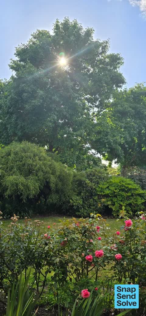
 Trees - General, 23 Dec 2025
There is a big Ash tree blocking the sun to my house. on a lovely nice warm day it takes all the warmth out of our living area and there is
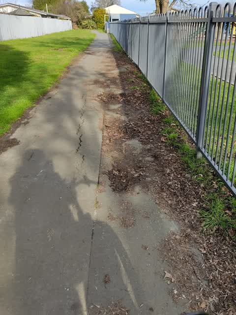
 Parks, 13 Jul 2020
large sink hole or slumping on bike path that runs parallel to the school grounds. very dangerous as they are deep and impossible to see whe
Elsewhere on Valerie Place
- 19 Valerie Place, 3 reports
- 17 Valerie Place, 2 reports
- 9 Valerie Place, 1 report
- 7 Valerie Place, 1 report
- 5 Valerie Place, 1 report
- 4 Valerie Place, 1 report
- 20 Valerie Place, 1 report
- 11 Valerie Place, 1 report
The civic layer
This ground votes in Papanui ward, the Papanui-Innes-Central community board is its local layer. Ward lines don’t always follow suburb lines; this one is measured at the pin, not the suburb’s centre. The whole roll is at /wards.
Valerie Place, the whole record → · Everything about Redwood → · What stood on this ground → · On the map → · From the air, RetroLens holds the Crown’s aerials back to 1936; search the address there →
Questions, answered briefly
3 council reports on record since July 2020, most often trees - general (1), parks (1), abandoned vehicle (1).
Redwood, Christchurch, on Valerie Place.
Nothing on the heritage register at this exact spot, the record around this ground →
Redwood Park, 114 m to its edge, 7 ha.