25 Grimseys Road, Redwood
13 reports on record since February 2017 · 12 with photographs. The street’s heaviest record is 100 Grimseys Road — 92 reports on file. Indicative rating valuation and school zones, hazards, bin day and what stood here before.
What gets reported here
Photographed here 12 on record



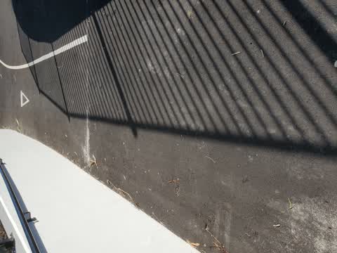
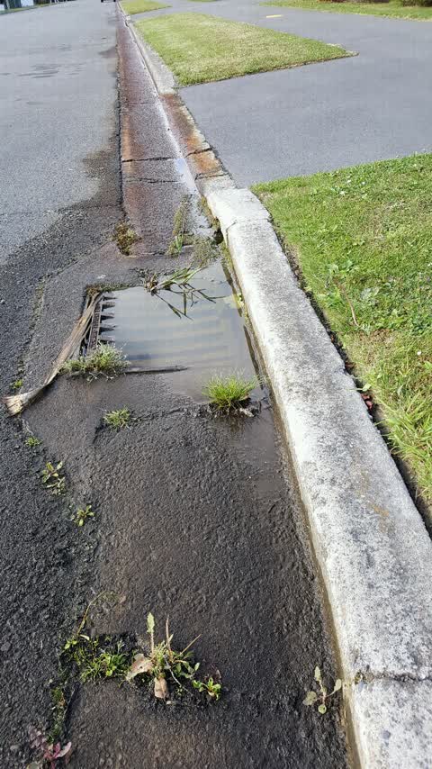
Reported here
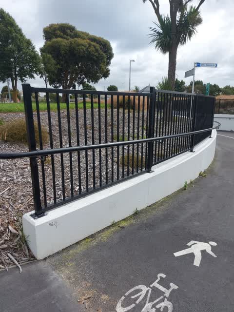
 Graffiti on a road, footpath or bridge —
 Graffiti on Grimseys underpass
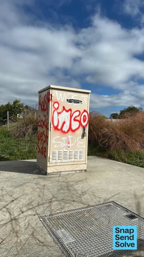
 Graffiti on a cabinet, pole or railway asset —
 Is is o. The south exit of grimseys road subway
 Graffiti on a fence, building or structure —
 Grimseys Road Subway
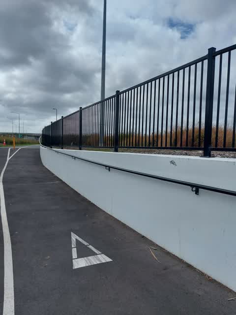
 Graffiti on a road, footpath or bridge —
 Graffiti on Underpass. Grimseys Road off Winers Road
- Graffiti on a road, footpath or bridge —
Graffiti on Grimseys Road subway. Grimseys Road off WinterRoad end
 Trees - General —
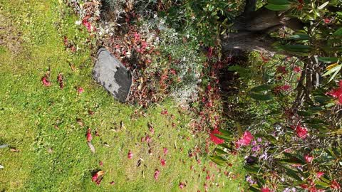
 The street tree outside my place has a number of low branches, which means constant ducking down when mowing the lawn surrounding this tree.
 Street Light Outage —
 The street light at the end of Grimseys Road (where cars can turn around) and beside the shared path is not working.
 Pavement - Damaged —
 Big crack caused by tree root has lifted the asphalt causing a trip hazard
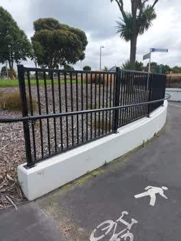 Graffiti —
 Second small tag on wall at entrance to Grimseys Rd underpass, south side.
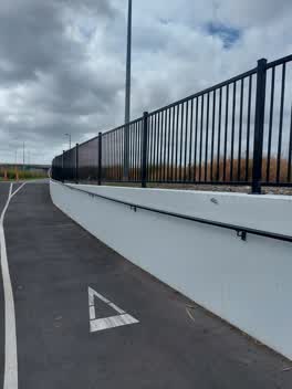 Graffiti —
 Tag on wall of Grimseys Rd underpass same side as massive cell phone tower.
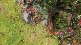 Water Leak —
 Water meter box is full of water. Presume a pipe is leaking. I would be unable to turn off water if I needed to
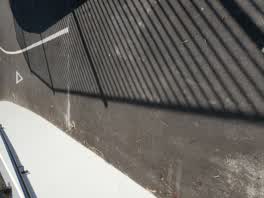 Roading/Streets —
 glass on the east side of the grimeys rd QEII cycle way underpass
Wastewater/Stormwater —
Weed growth over the road on street frontage which has an grown very tall and also storm water drain outside 25 grimseys has not been clean
Also reported on Grimseys Road
- 100 Grimseys Road — 92 reports
- 40 Grimseys Road — 45 reports
- 29 Grimseys Road — 44 reports
- 38 Grimseys Road — 23 reports
- 40A Grimseys Road — 18 reports
- 90 Grimseys Road — 15 reports
- 114 Grimseys Road — 9 reports
- 101 Grimseys Road — 8 reports
The street’s crash record
NZTA’s record names Grimseys Road in 30 crashes that hurt somebody since 2006 — 4 seriously hurt, nobody killed.
The green nearby
- Sarabande Reserve — 73 m to the edge
- Providence Reserve — 345 m to the edge
- Owen Mitchell Park — 442 m to the edge · Sports ground · 4 ha
- Regency Reserve — 482 m to the edge
Parks within half a kilometre, measured to the boundary — the council’s open data.
The tracks through here
- Walk and bike track through Redwood — 9 m to the line · walk · bike
- Walk and bike track through Redwood — 221 m to the line · walk · bike
Tracks whose line passes within half a kilometre, measured to the line itself — the council’s open data.
Renting nearby
new bonds in Redwood ran about $542 a week — about the city median — the suburb page keeps the rent record →.
The civic layer
This ground votes in Papanui ward — the Papanui-Innes-Central community board. Ward lines don’t always follow suburb lines; this one is measured at the pin, not the suburb’s centre.
What stood on this ground → · On the map → · From the air — the Crown’s aerials back to 1936; search the address on RetroLens →
Questions, answered briefly
13 council reports on record since February 2017 — most often graffiti on a road, footpath or bridge (3), graffiti (2), water leak (1).
Redwood, Christchurch — on Grimseys Road.
Nothing on the heritage register at this exact spot — the record around this ground →
Sarabande Reserve — 73 m to its edge.