79A Regency Crescent, Redwood
13 reports on record since October 2017 · 12 with photographs. The most-reported address on Regency Crescent. Indicative rating valuation and school zones, hazards, bin day and what stood here before.
What gets reported here
- Parks — 7
- Overgrown Vegetation — 5
- Roading/Streets — 1
Photographed here 12 on record




Reported here
 Overgrown Vegetation —
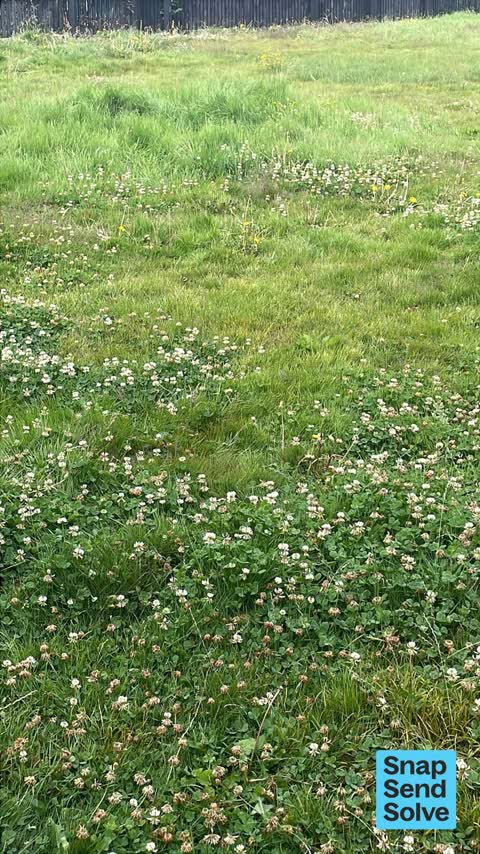
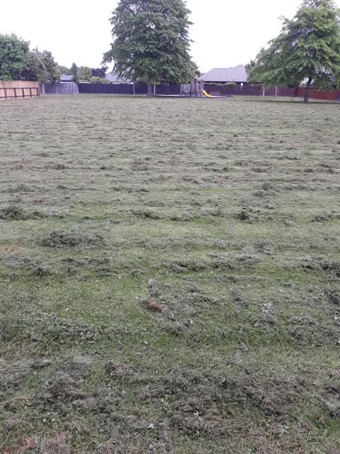
 Reserve not mowed since before Christmas 24
 Overgrown Vegetation —
 8 weeks since last mowed maybe longer
 Overgrown Vegetation —
 Reserve not mowed since weeks before Christmas. Will be contacting my councillor today to find out what is going on. This is the 4th report
 Overgrown Vegetation —
 4th request for mowing of reserve, 6-8 weeks since last done, no comms from council about what’s happening
 Overgrown Vegetation —
 Regency Reserve STILL not mowed and overgrown. Has the council forgotten about this green area ?
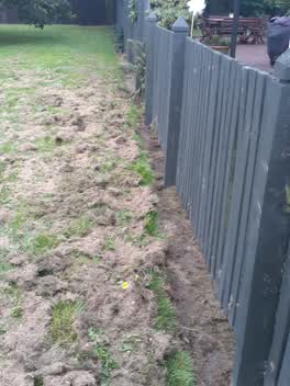 Parks —
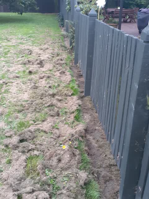
 Because the Reserve is mowed infrequently, the grass gets excessively long. When it is mowed the grass is now being 'sprayed ' all over my b
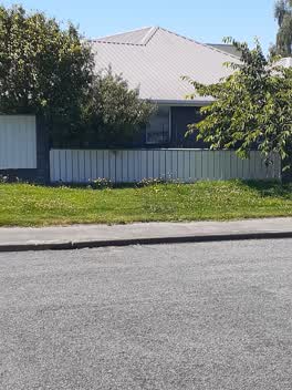 Roading/Streets —
 Council are supposed to be cutting this mess on a regular basis. Can someone please attend to this what's going on with the mowing in this c
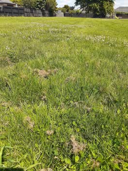 Parks —
 Why is the council or contractor not cutting the grass at parks and reserves on a regular basis? This has been happening for sometime. This
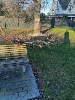 Parks —
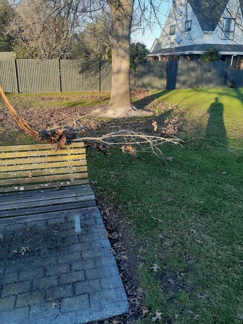
 large broken branch fell on park bench hazard, may be more damage to tree after recent storm
Parks —
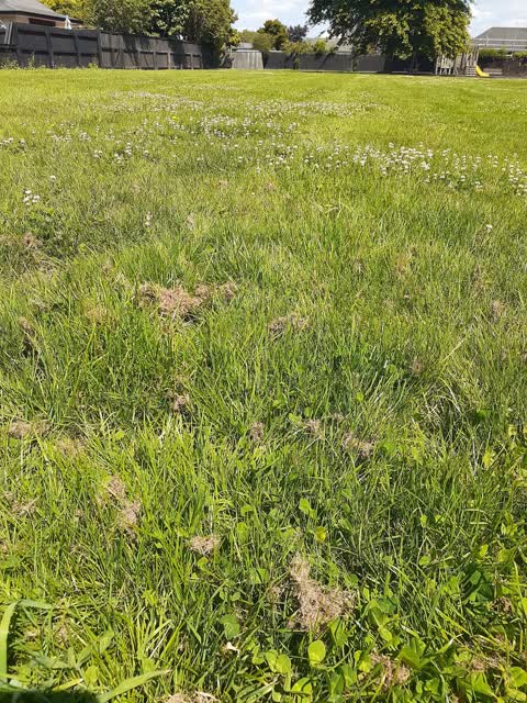
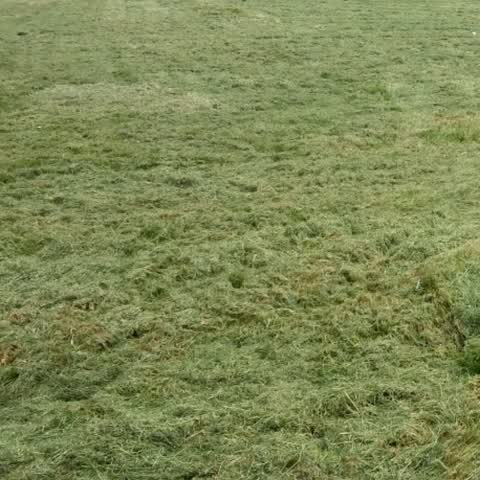
once again we have infrequent mowing of the reserve resulting in this mess. why does the council allow this to happen continually? The gras
- Parks —
Compliments to who ever cleaned up the clippings at Recency Reserve.
Parks —
I keep sending these but you just seem to pay lip service to the ratepayers of Christchurch. Why dont you get down here and see the shambles
Parks —
AFTER WEEKS OF WAITING FOR THIS RESERVE TO BE MOWN (REGENCY RESERVE) AND COMPLAINTS ABOUT ITS STATE. IT WAS FINALLY DONE LAST NIGHT. THE GRA
Also reported on Regency Crescent
- 9 Regency Crescent — 8 reports
- 48 Regency Crescent — 7 reports
- 23 Regency Crescent — 5 reports
- 90 Regency Crescent — 3 reports
- 84 Regency Crescent — 3 reports
- 79 Regency Crescent — 3 reports
- 76 Regency Crescent — 3 reports
- 69 Regency Crescent — 3 reports
The green nearby
- Regency Reserve — 16 m to the edge
- Providence Reserve — 104 m to the edge
- Norrie Park — 159 m to the edge
- Owen Mitchell Park — 194 m to the edge · Sports ground · 4 ha
- Dunedin Reserve — 479 m to the edge · 1 ha
Parks within half a kilometre, measured to the boundary — the council’s open data.
The bus nearby
- Daniels Rd near Mottram St — 369 m away · route 125
- Daniels Rd near Rathlin St — 374 m away · route 125
The closest Metro stops, within four hundred and fifty metres.
The tracks through here
- Walk and bike track through Redwood — 444 m to the line · walk · bike
Tracks whose line passes within half a kilometre, measured to the line itself — the council’s open data.
The named ground
the council’s own structure register — bridges, boardwalks and steps standing nearby — the open map’s record.
Renting nearby
new bonds in Redwood ran about $542 a week — about the city median — the suburb page keeps the rent record →.
The civic layer
This ground votes in Papanui ward — the Papanui-Innes-Central community board. Ward lines don’t always follow suburb lines; this one is measured at the pin, not the suburb’s centre.
What stood on this ground → · On the map → · From the air — the Crown’s aerials back to 1936; search the address on RetroLens →
Questions, answered briefly
13 council reports on record since October 2017 — most often parks (7), overgrown vegetation (5), roading/streets (1).
Redwood, Christchurch — on Regency Crescent.
Nothing on the heritage register at this exact spot — the record around this ground →
Regency Reserve — 16 m to its edge.