Roading/Streets
Reported Friday, 22 September 2017 at 9:50 am, Linwood Avenue, Linwood, 8062, Canterbury.
The reporter’s words
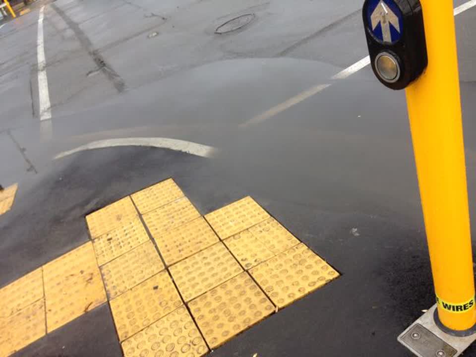
This is the corner nearest the McDonalds. It was redone quite recently and has flooded every time it rains ever since.
The filing
- Filed
- Friday, 22 September 2017 at 9:50 am
- Report number
- #302,660
- Filed under
- roads
- Coordinates
- the pin on the map →
The council’s work orders, near this pin
- Graffiti (OLD)0 m away · resolved 6 Oct 2022, took 17 min
- Traffic Signals3 m away · resolved 25 Mar 2025, took 4 weeks
- Traffic Signals4 m away · resolved 26 Sept 2023, took 3 weeks
- Spillage - e.g. Fuel Chemicals (Road)5 m away · resolved 8 Jul 2019, took 57 min
- Traffic Light5 m away · resolved 15 Jun 2022, took 6 hours
- Traffic Light6 m away · resolved 29 Dec 2021, took 5 days
- Traffic Signals6 m away · resolved 21 Jun 2024, took 2 hours
- Traffic Signals6 m away · resolved 10 Feb 2025, took 11 days
MyCouncilTicket is the council’s own work-order stream, a different door from the public report above, and the same job can stand in both. The whole ticket roll →
Where this sits
The pin241A Linwood Avenuelands 2 m from this filed address, its whole recordThe streetLinwood Avenuethe street the pin lands nearest, its record, every report on itThe suburbLinwoodthe suburb, in depthThe problemRoading/Streetsevery filing of its kind on the city’s booksThe date22 Septemberthis date in the archive, across the yearsThe year2017the year’s shelf and ledgerThe mapOn the mapthe pin, among its neighboursBeforeWhat stood herewhat the archive knows of this ground
The feed listed this report when a sweep caught it 5 Sept 2026, it has not been listed since. The record here does not move.