Roading/Streets
Reported Sunday, 23 September 2018 at 7:18 am, Saint Andrews Hill Road, Ferrymead, 8081, Canterbury.
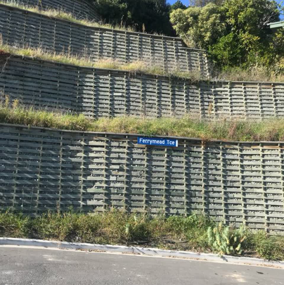
The reporter’s words
Could anyone tell me when any maintenance/ weeding/planting is going to start on the retaining wall at the bottom of St Andrews Hill plus the area around it??? Plus I have asked several times what is happening with the cracked footpath and the broken bumpy road going up St Andrews Hill towards Te Awakura Tce??? The road is getting worse and the dips are getting deeper. When towing a trailer you almost feel that it’s going to pop off the tow bar., The footpath is becoming more dangerous walking over it as it’s narrow and very uneven. It’s the only footpath on that part of the Hill. It is totally unacceptable to have a main thoroughfare for getting off the hill by car or walking to be in such poor condition. With all the new rebuilds on the hill now the Council are getting more than their fair share of rates. Could you start using them please.
The filing
- Filed
- Sunday, 23 September 2018 at 7:18 am
- Report number
- #507,800
- Filed under
- roads
- Coordinates
- the pin on the map →
The council’s work orders, near this pin
- Retaining Wall0 m away · resolved 29 Nov 2018, took 10 weeks
- Garden (Road)2 m away · open, filed 15 Nov 2018
- Graffiti - Fence, building or structure3 m away · resolved 13 days ago, took 4.1 years
- Leak (Water Supply)3 m away · resolved 22 Nov 2018, took 2 days
- Garden/Landscaped Area4 m away · resolved 4 May 2023, took 11 months
- Graffiti - Fence, building or structure4 m away · resolved 13 days ago, took 4.1 years
- Garden (Road)6 m away · open, filed 31 Oct 2018
- Road/Hard Surface6 m away · open, filed 9 Mar 2026
MyCouncilTicket is the council’s own work-order stream, a different door from the public report above, and the same job can stand in both. The whole ticket roll →
Where this sits
The pin1 Ferrymead Terracelands 8 m from this filed address, its whole recordThe streetAndrews Hill Roadthe street’s record, every report on itThe suburbFerrymeadthe suburb, in depthThe problemRoading/Streetsevery filing of its kind on the city’s booksThe date23 Septemberthis date in the archive, across the yearsThe year2018the year’s shelf and ledgerThe mapOn the mapthe pin, among its neighboursBeforeWhat stood herewhat the archive knows of this ground
The feed listed this report when a sweep caught it 5 Sept 2026, it has not been listed since. The record here does not move.