Flooding
Reported Sunday, 17 August 2025 at 4:01 pm, 100R Te Korari Street, Marshland, Christchurch 8083, New Zealand.
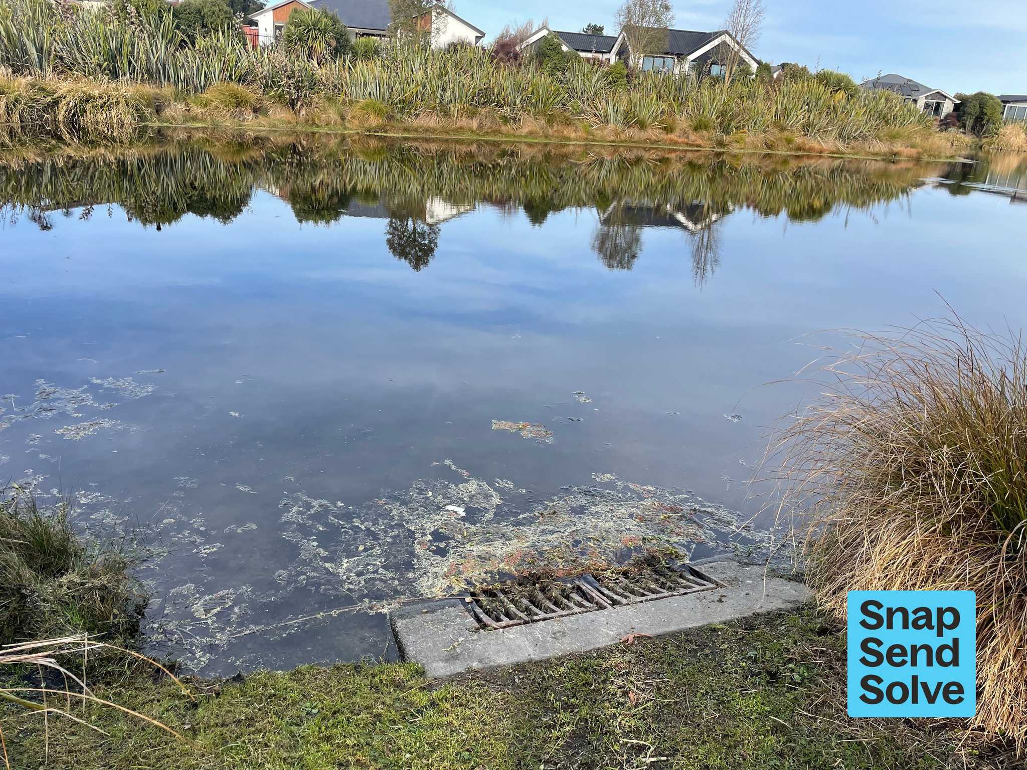
The reporter’s words
There appears to be a blocked waterway causing upstream flooding. Down stream at the coordinates in the message- the water level is normal. However at the Prestons Rd end there is an unusually high water level in the lakes and swales. Foliage is covered in these areas and it’s been dry for the last week. Generally when one area is up the whole waterway is up also. We live in the area so are familiar with the levels. Thank Michelle
The filing
- Filed
- Sunday, 17 August 2025 at 4:01 pm
- Report number
- #6,757,157
- Filed under
- water
- Coordinates
- the pin on the map →
Also at this address one of 9
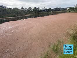 Overgrown Vegetation9 Dec 2025
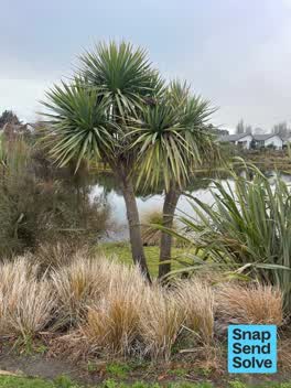 Graffiti on a playground or in a park10 Aug 2025
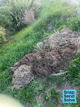 Overgrown Vegetation21 Jan 2025
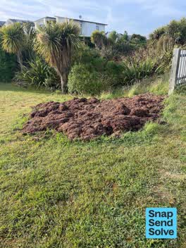 Overgrown Vegetation19 Nov 2024
 Dumped Rubbish14 Nov 2024
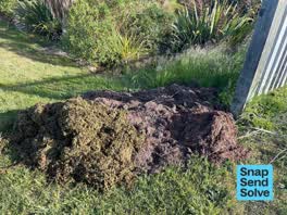 Overgrown Vegetation28 Oct 2024
The council’s work orders, near this pin
- Blockage/Water Not Draining12 m away · resolved 21 Aug 2025, took 4 days · probably the same job, filed through both doors
- Council Furniture/Equipment5 m away · resolved 8 Mar 2024, took 44 hours
- Garden/Landscaped Area6 m away · resolved 15 Jan 2024, took 4 months
- Garden/Landscaped Area10 m away · resolved 14 Apr 2025, took 4 days
- Boat ramp skate etc12 m away · resolved 26 Feb 2025, took 3 days
- General Maintenance (Parks)13 m away · resolved 10 Apr 2020, took 4 days
- Blockage (Park)22 m away · resolved 4 Dec 2018, took 10 days
- Tree (Park)26 m away · resolved 12 Dec 2018, took 25 hours
MyCouncilTicket is the council’s own work-order stream, a different door from the public report above, and the same job can stand in both. The whole ticket roll →
Where this sits
The address100R Te Korari Streetone of 9 reports at this address, the address’s whole recordThe streetTe Korari Streetthe street’s record, every report on itThe suburbMarshlandthe suburb, in depthThe problemFloodingevery filing of its kind on the city’s booksThe date17 Augustthis date in the archive, across the yearsThe year2025the year’s shelf and ledgerThe mapOn the mapthe pin, among its neighboursBeforeWhat stood herewhat the archive knows of this ground
The feed listed this report when a sweep caught it 6 Sept 2026, it has not been listed since. The record here does not move.