100R Te Korari Street
9 council reports since March 2024, 9 carrying a photograph. The most-reported address on Te Korari Street.
From the air, then
Sourced from Canterbury Maps and partners. LINZ, CC BY 3.0 NZ. Each frame is cut from Environment Canterbury’s historic imagery MapServer for that decade, only where the Footprints layer names a CC BY survey (NZAM-covered spots stay out). RetroLens holds more Crown aerials →
The green nearby
- Janet Stewart Reserve, 348 m to the edge · 3 ha
Parks within half a kilometre, measured to the boundary, the council’s open data. The whole roll is at /parks.
The bus nearby
- Prestons (Te Korari St), 66 m away · route 135
- Prestons (Te Korari St), 66 m away · route 135
The closest Metro stops, within four hundred and fifty metres.
The named ground
Named water within 500 m of this address, measured to the line or the edge; the council’s own structure register, bridges, boardwalks and steps standing nearby, the open map’s record.
The remembered names nearby
- Polish Settlers Place / 1872-2017, 135 m away ·
POLISH SETTLERS PLACE/ 1872-2017/ Dedicated to Early Polish Settlers, from faraway land of
Inscribed plaques within two hundred and fifty metres, the register’s pins, not surveyed spots. The whole roll is at /plaques.
Renting nearby
new bonds in Marshland ran about $689 a week, $139 above the city median of $550, the suburb page keeps the rent record →.
What gets reported here
Photographed here 9 on record
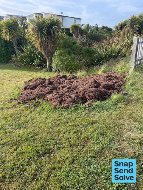

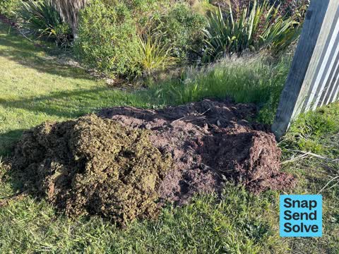
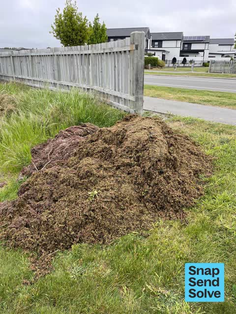

What’s on record
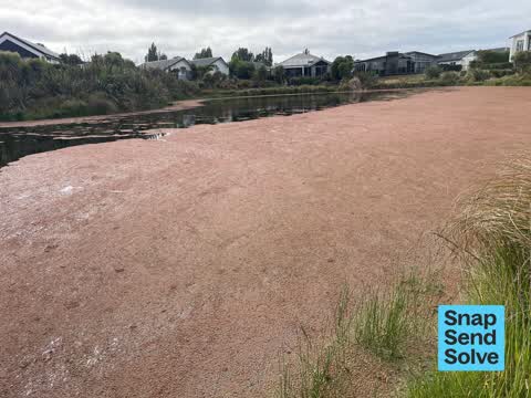
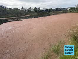 Overgrown Vegetation, 9 Dec 2025
 Hi we would very much appreciate the removal of this azola, which is covering the lake at a rapid pace. Despite our neighbourhood efforts
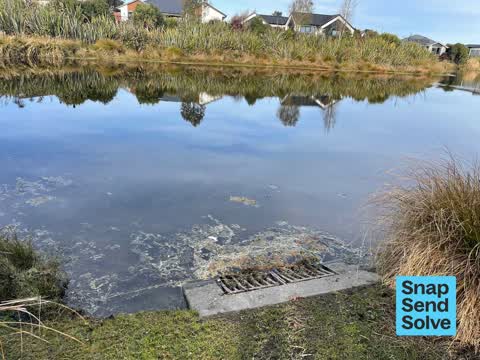
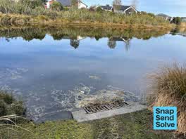 Flooding, 17 Aug 2025
 There appears to be a blocked waterway causing upstream flooding. Down stream at the coordinates in the message- the water level is normal.
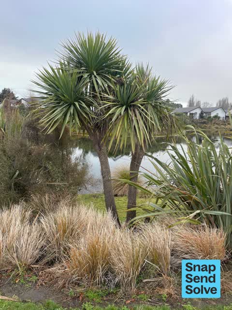
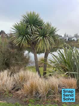 Graffiti on a playground or in a park, 10 Aug 2025
 Exceptional job- well done! Please pass on to the team that tidied this area, that they did an exceptionally good job with the gardening/ti
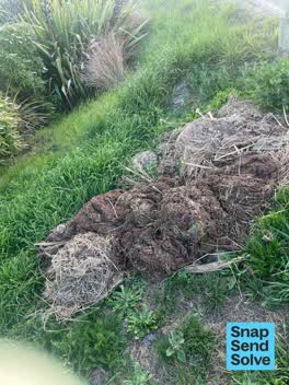 Overgrown Vegetation, 21 Jan 2025
 Hi please pick up the weed cleared from the lake. Thanks ??
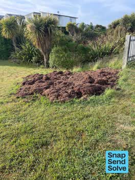 Overgrown Vegetation, 19 Nov 2024
 Please pick up lake weed, placed by path for easy pick up. Thanks a lot!
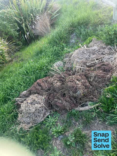
 Dumped Rubbish, 14 Nov 2024
 Pond scum was taken from the surface of the nearby pond and dumped on the bank side. Maybe forgotten by the Waterways team?
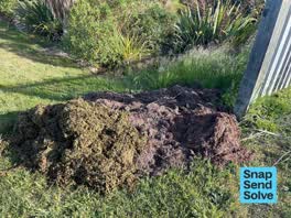 Overgrown Vegetation, 28 Oct 2024
 Please pick up. Thanks
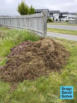 Overgrown Vegetation, 22 Oct 2024
 Overgrown lake vegetation
 Dumped Rubbish, 6 Mar 2024
 Bird poo all over the seat and a lot of dog poo littering everywhere around the whole path moving up it
Elsewhere on Te Korari Street
- 99 Te Korari Street, 5 reports
- 53 Te Korari Street, 4 reports
- 38 Te Korari Street, 3 reports
- 35 Te Korari Street, 3 reports
- 3 Te Korari Street, 3 reports
- 21 Te Korari Street, 3 reports
- 18 Te Korari Street, 3 reports
- 135 Te Korari Street, 3 reports
The street’s crash record
NZTA’s record names Te Korari Street in 3 crashes that hurt somebody since 2006, 0 seriously hurt, nobody killed.
The civic layer
This ground votes in Burwood ward, the Coastal-Burwood-Linwood community board is its local layer. Ward lines don’t always follow suburb lines; this one is measured at the pin, not the suburb’s centre. The whole roll is at /wards.
Te Korari Street, the whole record → · Everything about Marshland → · What stood on this ground → · On the map → · From the air, RetroLens holds the Crown’s aerials back to 1936; search the address there →
Questions, answered briefly
9 council reports on record since March 2024, most often overgrown vegetation (5), dumped rubbish (2), graffiti on a playground or in a park (1).
Marshland, Christchurch, on Te Korari Street.
Nothing on the heritage register at this exact spot, the record around this ground →
Janet Stewart Reserve, 348 m to its edge, 3 ha.