Roading/Streets
Reported Sunday, 7 June 2015 at 11:37 am, 65, Thames Street, Mairehau, 8013, Canterbury.
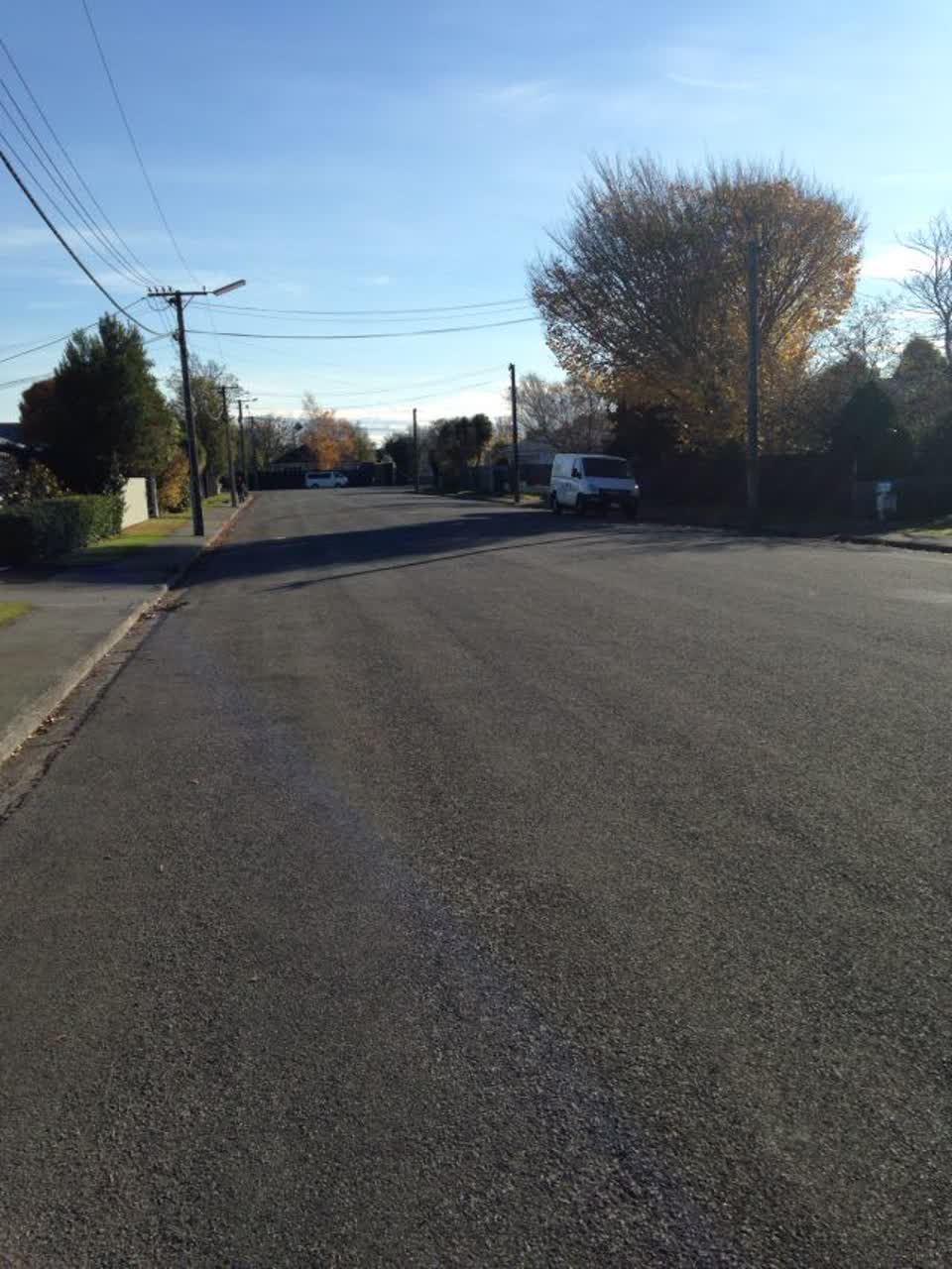
The reporter’s words
Thames Street High Speed Zone Thames street is used as a short cut by people wanting to avoid Cranford street. Because Mersey and Severn Streets both have stop signs, a lot of people turn off Innes or Westminster Streets and roar down Thames to avoid the ques and lights. Because this happens at rush hour times when people are stressed and distracted, it's very dangerous, many times I've nearly had accidents with people not noticing me coming In or out of our driveway. They seem to think it's a drag strip track. This will only increase if the northern arterial route gets added. Please, for the safety of the many children on this street, add some sort of slow down devise, a speed bump or something, before a serious accident happens.
The filing
- Filed
- Sunday, 7 June 2015 at 11:37 am
- Report number
- #73,533
- Filed under
- roads
- Coordinates
- the pin on the map →
The council’s work orders, near this pin
- Water Leak9 m away · resolved 7 Oct 2022, took 18 hours
- Council Sewer10 m away · resolved 4 Jun 2019, took 3 days
- Water Leak14 m away · resolved 24 Sept 2025, took 2 days
- Road Layout15 m away · resolved 17 Oct 2019, took 9 weeks
- Sewer Leak15 m away · resolved 19 Nov 2022, took 3 hours
- Cone16 m away · resolved 13 Nov 2019, took 21 hours
- Road Layout16 m away · resolved 5 Aug 2020, took 2 weeks
- Leak (Water Supply)18 m away · resolved 15 Feb 2019, took 6 weeks
MyCouncilTicket is the council’s own work-order stream, a different door from the public report above, and the same job can stand in both. The whole ticket roll →
Where this sits
The pin65 Thames Streetlands 13 m from this filed address, its whole recordThe streetThames Streetthe street the pin lands nearest, its record, every report on itThe suburbMairehauthe suburb, in depthThe problemRoading/Streetsevery filing of its kind on the city’s booksThe date7 Junethis date in the archive, across the yearsThe year2015the year’s shelf and ledgerThe mapOn the mapthe pin, among its neighboursBeforeWhat stood herewhat the archive knows of this ground
The feed listed this report when a sweep caught it 5 Sept 2026, it has not been listed since. The record here does not move.