189 Deans Avenue, Riccarton
11 reports on record since March 2017 · 9 with photographs. The street’s heaviest record is 65 Deans Avenue — 50 reports on file. Indicative rating valuation and school zones, hazards, bin day and what stood here before.
What gets reported here
- Trees - General — 3
- Roading/Streets — 2
- Overgrown Vegetation — 2
- Street Light Outage — 1
- Pavement - Damaged — 1
- Graffiti — 1
Photographed here 9 on record


Reported here
 Trees - General —
 The spiky tree shoots on almost every tree in the street are dangerous due to them being at eye level in alot of cases meaning you need to t
 Overgrown Vegetation —
 Leaves obstructing much of the pedestrian refuge.
 Pavement - Damaged —
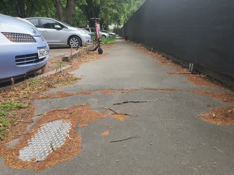
 Broken pedestrian island
 Trees - General —
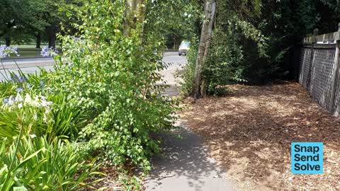
 There are lot of unkeeped trees along this stretch. Someone has trimmed these and dumped the waste witch citycare has to remove. Some consid
 Trees - General —
 Trees right on edge of footpath have suckers that are narrowing the footpath
- Graffiti —
- Overgrown Vegetation —
 Street Light Outage —
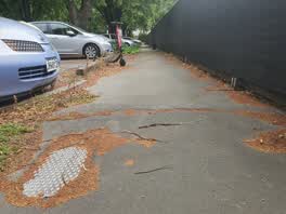
 tree roots causing trip hazards. Staff working at the managed isolation facility have tripped over doing perimeter check at night causing mi
Flooding —
this corner is always floored in bigger rain, there is so much water that if in 30km/h you will get it it splashes so much water that you wi
Roading/Streets —
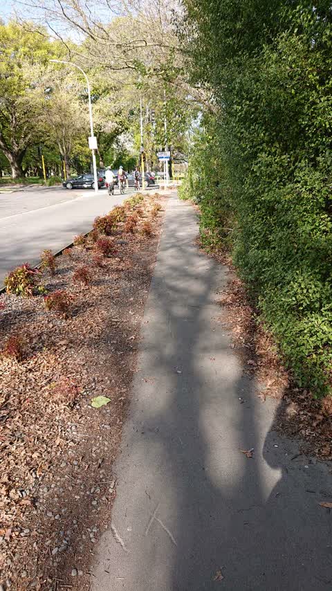
Please trim plants and sweep path. This causes peds to avoid and use cycle path instead, which is busy outside CGHS.
Roading/Streets —
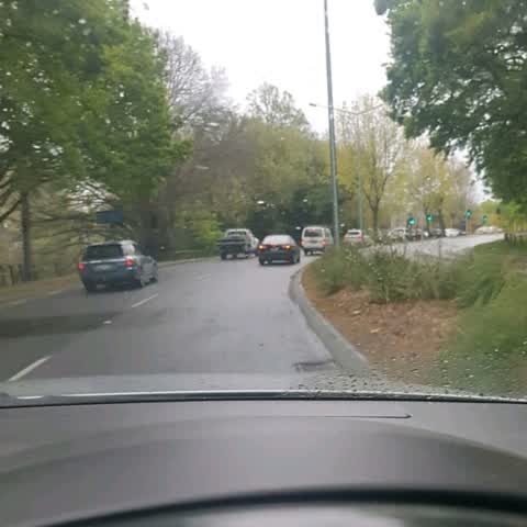
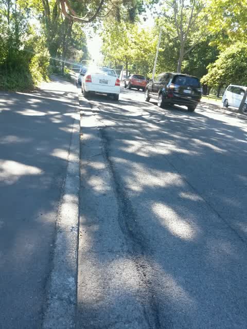
broken yellow lines for live lane either covered up or too faded. 2 vehicles were parked up on the lane but unable to enforce by parking com
Also reported on Deans Avenue
- 65 Deans Avenue — 50 reports
- 145 Deans Avenue — 31 reports
- 55 Deans Avenue — 15 reports
- 75 Deans Avenue — 14 reports
- 71 Deans Avenue — 9 reports
- 105 Deans Avenue — 8 reports
- 67 Deans Avenue — 7 reports
- 69 Deans Avenue — 6 reports
The street’s crash record
NZTA’s record names Deans Avenue in 65 crashes that hurt somebody since 2006 — 13 seriously hurt, nobody killed.
The green nearby
- Hagley Park North — 135 m to the edge · Sports ground · 91 ha
- Mona Vale — 237 m to the edge · Botanic · 5 ha
- Little Hagley Park — 253 m to the edge · Botanic · 7 ha
- Millbrook Reserve — 486 m to the edge · Botanic
Parks within half a kilometre, measured to the boundary — the council’s open data.
On the doorstep
- The Chateau on the Park - DoubleTree by Hilton Hotel — 20 m away · Hotels
- The Garden Court Brasserie - The Chateau on the Park — 36 m away · Restaurants
- Chateau on the Park - Christchurch, a DoubleTree by Hilton — 45 m away · Hotels
- The Chateau On The Park Christchurch A Double Tree By Hilton — 55 m away · Hotels
Businesses within four hundred metres, measured at the pin — OpenStreetMap and the council directories.
The bus nearby
- Kilmarnock St near Deans Ave — 79 m away · route 130
- Kilmarnock St near Deans Ave — 95 m away · route 130
The closest Metro stops, within four hundred and fifty metres.
The tracks through here
- Walk and bike track through Riccarton — 72 m to the line · walk · bike
- Walk and bike track through Riccarton — 80 m to the line · walk · bike
- Walk and bike track through Riccarton — 81 m to the line · walk · bike
- Walk and bike track through Riccarton — 82 m to the line · walk · bike
- Walk and bike track through Riccarton — 107 m to the line · walk · bike
Tracks whose line passes within half a kilometre, measured to the line itself — the council’s open data.
The named ground
Named water within 500 m of this address, measured to the line or the edge; Named places within 1.5 km of this address; the council’s own structure register — bridges, boardwalks and steps standing nearby — the open map’s record.
Renting nearby
new bonds in Riccarton ran about $544 a week — about the city median — the suburb page keeps the rent record →.
What was here — Former Pumphouse and Setting, Pump No. 24.
79 m away · 5 Matai Street East · located to ±5 m · the place’s own record →
On the register. Nothing researched here yet.
The civic layer
This ground votes in Riccarton ward — the Halswell-Hornby-Riccarton community board. Ward lines don’t always follow suburb lines; this one is measured at the pin, not the suburb’s centre.
What stood on this ground → · On the map → · From the air — the Crown’s aerials back to 1936; search the address on RetroLens →
Questions, answered briefly
11 council reports on record since March 2017 — most often trees - general (3), roading/streets (2), overgrown vegetation (2).
Riccarton, Christchurch — on Deans Avenue.
The heritage register names a place at or beside it — Former Pumphouse and Setting, Pump No. 24..
Hagley Park North — 135 m to its edge, 91 ha.