75 Deans Avenue, Riccarton
14 reports on record since July 2017 · 11 with photographs. The street’s heaviest record is 65 Deans Avenue — 50 reports on file. Indicative rating valuation and school zones, hazards, bin day and what stood here before.
What gets reported here
- Graffiti — 3
- Vandalism - General — 2
- Water Supply — 1
- Water Leak — 1
- Trees - General — 1
- Roading/Streets — 1
Photographed here 11 on record



Reported here
 Trees - General —
 Wooden edging supporting ground has come away- see photo one-
 Fallen Tree —
 tree felled on Hagley Park path
 Poles and Signage - General —
 Graffiti on a light pole
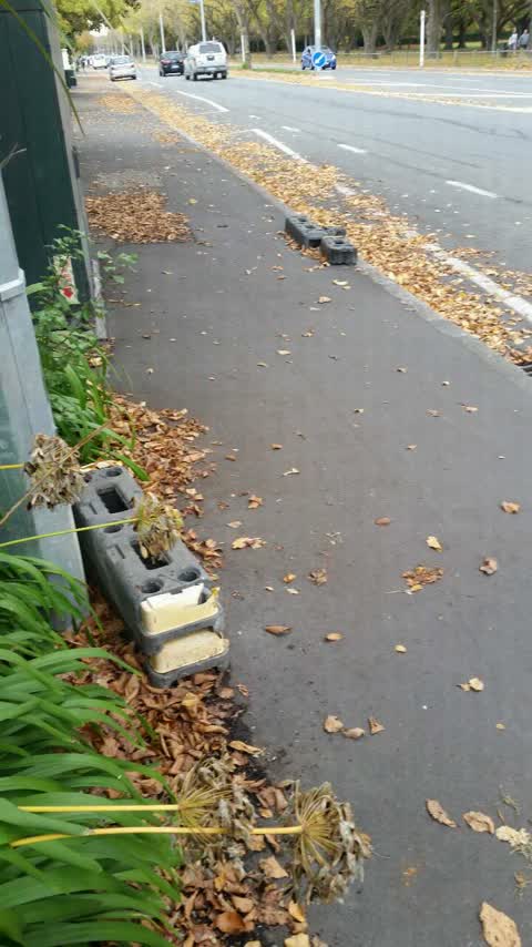
 Pavement - Damaged —
 Please seal this damage to the footpath by my fence at 75 Deans Ave. I contacted Enable who said they did not dig up this area and to advise
 Vandalism - General —
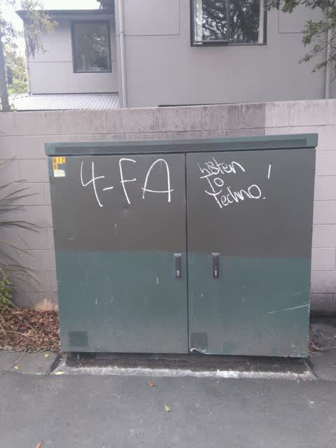
  Graffiti on a cabinet, pole or railway asset —
 Grey graffiti on green cabinet. Dean's Ave (opposite Hagley Park).
 Vandalism - General —
 - Graffiti —
- Water Leak —
- Pavement - General —
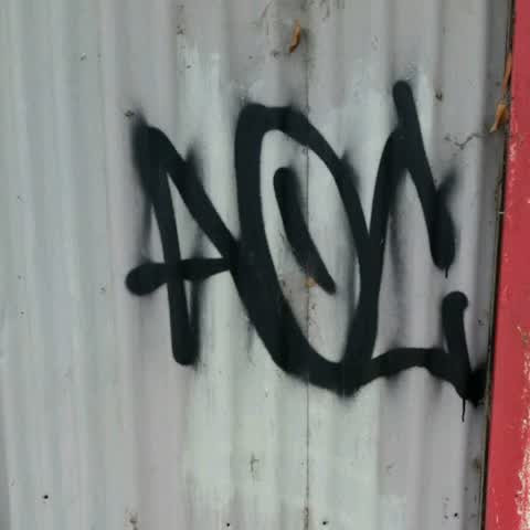
Graffiti —
Got to not let this person win
Roading/Streets —
Please remove off foot path
Water Supply —
Tap continues to run even when turned off
Graffiti —
Also reported on Deans Avenue
- 65 Deans Avenue — 50 reports
- 145 Deans Avenue — 31 reports
- 55 Deans Avenue — 15 reports
- 189 Deans Avenue — 11 reports
- 71 Deans Avenue — 9 reports
- 105 Deans Avenue — 8 reports
- 67 Deans Avenue — 7 reports
- 69 Deans Avenue — 6 reports
The street’s crash record
NZTA’s record names Deans Avenue in 65 crashes that hurt somebody since 2006 — 13 seriously hurt, nobody killed.
The green nearby
- Hagley Park South — 105 m to the edge · Sports ground · 71 ha
- Hagley Park North — 455 m to the edge · Sports ground · 91 ha
Parks within half a kilometre, measured to the boundary — the council’s open data.
On the doorstep
- Hagley Oval Pavilion — 258 m away · Venues & events
- Riccarton Cricket Club — 258 m away · Clubs
- Kimberleys Fashion Outlet — 349 m away · Clothing
- PlaceMakers — 358 m away · Hardware
Businesses within four hundred metres, measured at the pin — OpenStreetMap and the council directories.
The tracks through here
- Walk and bike track through Riccarton — 53 m to the line · walk · bike
- Walk and bike track through Riccarton — 221 m to the line · walk · bike
- Walk and bike track through Riccarton — 221 m to the line · walk · bike
- Walk and bike track through Riccarton — 222 m to the line · walk · bike
- Walk and bike track through Riccarton — 317 m to the line · walk · bike
Tracks whose line passes within half a kilometre, measured to the line itself — the council’s open data.
The named ground
Named water within 500 m of this address, measured to the line or the edge; Named places within 1.5 km of this address; the council’s own structure register — bridges, boardwalks and steps standing nearby — the open map’s record.
Renting nearby
new bonds in Riccarton ran about $544 a week — about the city median — the suburb page keeps the rent record →.
The civic layer
This ground votes in Riccarton ward — the Halswell-Hornby-Riccarton community board. Ward lines don’t always follow suburb lines; this one is measured at the pin, not the suburb’s centre.
What stood on this ground → · On the map → · From the air — the Crown’s aerials back to 1936; search the address on RetroLens →
Questions, answered briefly
14 council reports on record since July 2017 — most often graffiti (3), vandalism - general (2), water supply (1).
Riccarton, Christchurch — on Deans Avenue.
Nothing on the heritage register at this exact spot — the record around this ground →
Hagley Park South — 105 m to its edge, 71 ha.