87 Brockworth Place, Riccarton
12 reports on record since May 2017 · 6 with photographs. The street’s heaviest record is 25 Brockworth Place — 46 reports on file. Indicative rating valuation and school zones, hazards, bin day and what stood here before.
What gets reported here
- Roading/Streets — 7
- Pothole — 2
- Water Leak — 1
- Street Gutters / Storm Water — 1
- Street Cleaning — 1
Photographed here 6 on record
Reported here
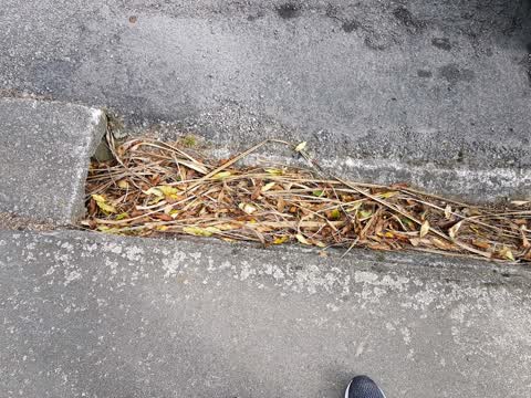
- Street Cleaning —
- Pothole —
- Pothole —
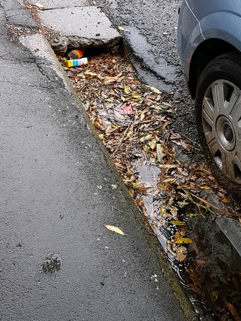
- Street Gutters / Storm Water —
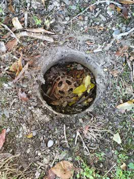 Roading/Streets —
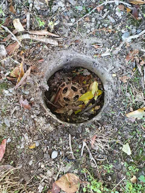
 The lid covering this tap on the footpath outside our property has disappeared. No sign of it anywhere around. The valve may still be funct
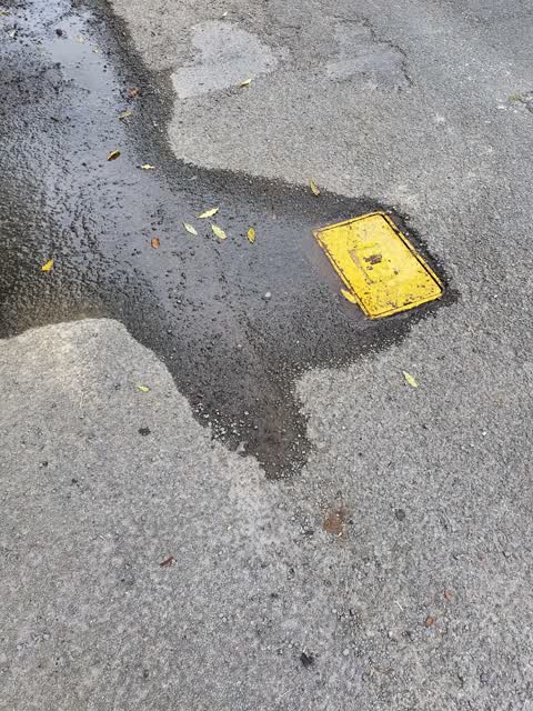
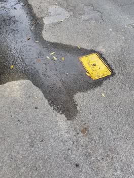 Water Leak —
  Roading/Streets —
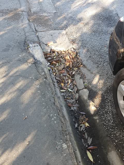
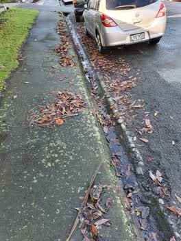
 leaves pulled out of gutter by residents need cleaning up please. N side Brockworth 87 to deans Ave
 Roading/Streets —
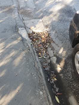
 blocked gutter
- Roading/Streets —
5 cones to shift off foot path
Roading/Streets —
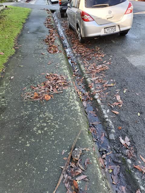
There is lot of rubbish in the gutters in Brockworth Place. They have not been cleaned for some time.
Roading/Streets —
Gutter needs a clean please. All along the street. Thanks
- Roading/Streets —
The Brockworth Place road sign has gone missing from the northern intersection of Brockworth and Deans Ave. It would be great if it could b
Also reported on Brockworth Place
- 25 Brockworth Place — 46 reports
- 73 Brockworth Place — 32 reports
- 53A Brockworth Place — 23 reports
- 67 Brockworth Place — 21 reports
- 35A Brockworth Place — 15 reports
- 69 Brockworth Place — 14 reports
- 49 Brockworth Place — 13 reports
- 63 Brockworth Place — 11 reports
The street’s crash record
NZTA’s record names Brockworth Place in 2 crashes that hurt somebody since 2006 — 0 seriously hurt, nobody killed.
The green nearby
- Hagley Park South — 195 m to the edge · Sports ground · 71 ha
- Hagley Park North — 242 m to the edge · Sports ground · 91 ha
- Mandeville Reserve — 324 m to the edge
- Picton Reserve — 496 m to the edge
Parks within half a kilometre, measured to the boundary — the council’s open data.
On the doorstep
- Thai Chef's Restaurant — 45 m away · Restaurants
- Aalton Motel — 116 m away · Motels
- Central Park Motel — 122 m away · Motels
- Argyle Motel — 125 m away · Motels
Businesses within four hundred metres, measured at the pin — OpenStreetMap and the council directories.
The bus nearby
- Riccarton Rd near Bartlett St — 155 m away · route 3, route 5, route 80, route 86, route 130
- Riccarton Rd near Bartlett St — 167 m away · route 3, route 5, route 80, route 86, route 130
The closest Metro stops, within four hundred and fifty metres.
The tracks through here
- Walk and bike track through Riccarton — 135 m to the line · walk · bike
- Walk and bike track through Riccarton — 159 m to the line · walk · bike
- Walk and bike track through Riccarton — 175 m to the line · walk · bike
- Walk and bike track through Riccarton — 197 m to the line · walk · bike
- Walk and bike track through Riccarton — 229 m to the line · walk · bike
Tracks whose line passes within half a kilometre, measured to the line itself — the council’s open data.
The named ground
Named water within 500 m of this address, measured to the line or the edge; Named places within 1.5 km of this address; the council’s own structure register — bridges, boardwalks and steps standing nearby — the open map’s record.
The remembered names nearby
- Planted by / W.D.F.F. / to Commemorate the / Coronation — 186 m away ·
PLANTED BY / W.D.F.F. / TO COMMEMORATE THE / CORONATION OF / ELIZABETH II / 1953
· 2009 - Hagley Park South plaque — 193 m away · 2009
- A Deans Avenue Precinct Society Project / Supported — 234 m away ·
A Deans Avenue Precinct Society project / Supported by / The Community Trust / Hagley/Ferr
· 2009
Inscribed plaques within two hundred and fifty metres — the register’s pins, not surveyed spots. The whole roll is at /plaques.
Renting nearby
new bonds in Riccarton ran about $544 a week — about the city median — the suburb page keeps the rent record →.
The civic layer
This ground votes in Riccarton ward — the Halswell-Hornby-Riccarton community board. Ward lines don’t always follow suburb lines; this one is measured at the pin, not the suburb’s centre.
What stood on this ground → · On the map → · From the air — the Crown’s aerials back to 1936; search the address on RetroLens →
Questions, answered briefly
12 council reports on record since May 2017 — most often roading/streets (7), pothole (2), water leak (1).
Riccarton, Christchurch — on Brockworth Place.
Nothing on the heritage register at this exact spot — the record around this ground →
Hagley Park South — 195 m to its edge, 71 ha.