35 London Street, Richmond
15 reports on record since October 2018 · 13 with photographs. The street’s heaviest record is 78 London Street — 35 reports on file. Indicative rating valuation and school zones, hazards, bin day and what stood here before.
What gets reported here
- Flooding — 3
- Roading/Streets — 2
- Road Signage — 2
- Graffiti — 2
- Water Leak — 1
- Poles and Signage - General — 1
Photographed here 13 on record


Reported here
 Pavement - Damaged —
 The footpath outside this address has a deep hollow without any asphalt around the watermeter on the Perth Street boundary between the gate
 Overgrown Vegetation —
 Bottom of this tree needs cutting
 Water Leak —
 48 Perth Street Richmond
- Poles and Signage - General —
- Dumped Rubbish —
 Road Signage —
 The white lines at the Give Way intersection of London and Perth Streets in Richmond, have been erased at the intersection after roadworks.
 Damaged Street Sign —
  Road Signage —
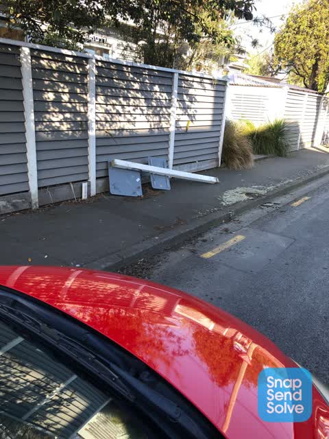
 Opposite 33 Perth St , sign snapped off
 Roading/Streets —
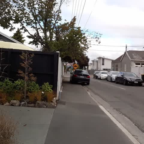
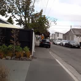
 vehicle illegally parked in excess of the 5 minute limit and straddling the footpath on Perth Street. Rego #MKQ909 - Black BNW
Graffiti —
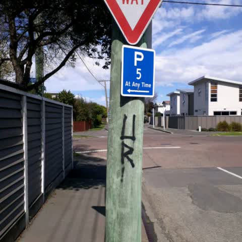
Can.someone please attend to the graffiti in Perth Street between the #50 and the London Street intersection as photographed. Thanks
Flooding —
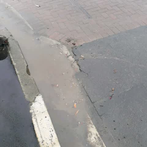
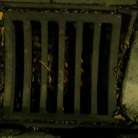
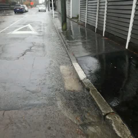
Perth St/London St corner drains reported blocked in May 2019. 29/04 street flooded in heavy rain which was phoned through and reported to
Flooding —
Perth St/London St corner drains reported blocked two weeks ago. 29/04 street flooded in heavy rain which was phoned through and reported t
Flooding —
Perth Street flooded - stormwater drains on the corner reported blocked two weeks ago, but not cleared. Stormwater flowing around the corner
Roading/Streets —
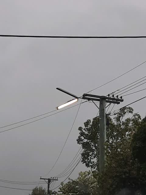
Broken st light
Graffiti —
Also reported on London Street
- 78 London Street — 35 reports
- 26 London Street — 25 reports
- 68 London Street — 24 reports
- 74 London Street — 17 reports
- 50 London Street — 17 reports
- 33 London Street — 14 reports
- 52 London Street — 12 reports
- 44 London Street — 12 reports
The street’s crash record
NZTA’s record names London Street in 14 crashes that hurt somebody since 2006 — 1 seriously hurt, nobody killed.
The green nearby
- Richmond Playground — 192 m to the edge
- Alexandra Park — 264 m to the edge
- Barbadoes Cemetery — 369 m to the edge · Botanic · 3 ha
- Avon Riverbank Central City — 408 m to the edge · 6 ha
Parks within half a kilometre, measured to the boundary — the council’s open data.
On the doorstep
- John Rhind Funeral Directors — 132 m away · Funeral directors
- Richmond Neighbourhood Cottage — 201 m away · Venues & events
- Nanny's Food Truck — 204 m away · Fast food
- Richmond Workingmen's Club — 218 m away · Clubs
Businesses within four hundred metres, measured at the pin — OpenStreetMap and the council directories.
The bus nearby
The closest Metro stops, within four hundred and fifty metres.
The tracks through here
- Walk and bike track through Richmond — 199 m to the line · walk · bike
- Walk and bike track through Richmond — 273 m to the line · walk · bike
- Walk and bike track through Richmond — 346 m to the line · walk · bike
- Walk and bike track through Richmond — 373 m to the line · walk · bike
- Walk and bike track through Richmond — 456 m to the line · walk · bike
Tracks whose line passes within half a kilometre, measured to the line itself — the council’s open data.
The named ground
Named water within 500 m of this address, measured to the line or the edge — the open map’s record.
Renting nearby
new bonds in Richmond ran about $499 a week — $51 below the city median of $550 — the suburb page keeps the rent record →.
The civic layer
This ground votes in Central ward — the Papanui-Innes-Central community board. Ward lines don’t always follow suburb lines; this one is measured at the pin, not the suburb’s centre.
What stood on this ground → · On the map → · From the air — the Crown’s aerials back to 1936; search the address on RetroLens →
Questions, answered briefly
15 council reports on record since October 2018 — most often flooding (3), roading/streets (2), road signage (2).
Richmond, Christchurch — on London Street.
Nothing on the heritage register at this exact spot — the record around this ground →
Richmond Playground — 192 m to its edge.