32 Berwick Street, Saint Albans
11 reports on record since September 2019 · 7 with photographs. The most-reported address on Berwick Street. Indicative rating valuation and school zones, hazards, bin day and what stood here before.
What gets reported here
- Graffiti — 2
- Trees - General — 1
- Street Light Outage — 1
- Rubbish/Recycling — 1
- Roading/Streets — 1
- Road Signage — 1
Photographed here 7 on record



Reported here
 Street Light Outage —
 Street lights not working
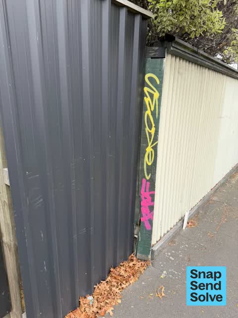
 Graffiti on a fence, building or structure —
 Tag on fence
 Trees - General —
 Could the Council please do something about this overgrown Walnut tree that is creating a hazard for vehicles. It is a rental property at 32
 Graffiti —
 - Pavement - General —
- Road Signage —
- Pothole —
- Graffiti —
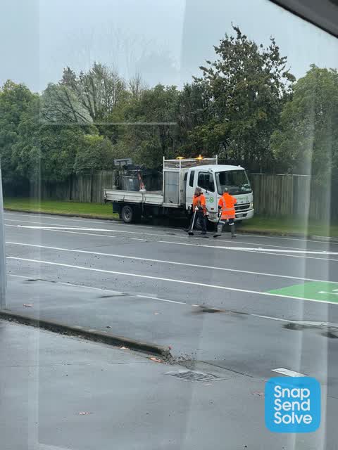
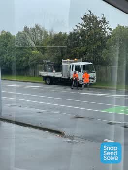 Roading/Streets —
 Road is full of potholes needs total reseal and still including the dangerous drop in the road. Plus no one still knows what the road is cal
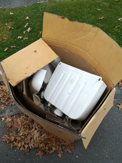
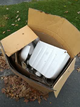 Rubbish/Recycling —
 Someone's dumped a big box of rubbish on the side of the road. It's been there for a few weeks now. Outside of 24/26/28 Warrington Street, S
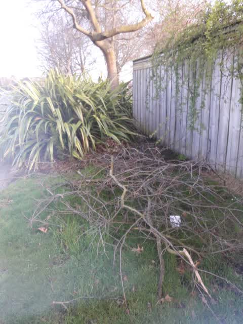
Parks —
cut branches need removed
Also reported on Berwick Street
- 34 Berwick Street — 5 reports
- 28 Berwick Street — 5 reports
- 6 Berwick Street — 4 reports
- 19 Berwick Street — 4 reports
- 52 Berwick Street — 3 reports
- 40 Berwick Street — 3 reports
- 39 Berwick Street — 3 reports
- 38 Berwick Street — 3 reports
The street’s crash record
NZTA’s record names Berwick Street in 21 crashes that hurt somebody since 2006 — 1 seriously hurt, nobody killed.
The green nearby
- Berwick Reserve — 18 m to the edge
- St Albans Park — 166 m to the edge · Sports ground · 6 ha
- English Park — 241 m to the edge · Sports ground · 3 ha
Parks within half a kilometre, measured to the boundary — the council’s open data.
On the doorstep
- Mainland Football — 288 m away · Clubs
- Cranford Cottages and Motel — 295 m away · Motels
- Liquor King Cranford — 397 m away · Bottle stores
- Liquorland Cranford — 398 m away · Bottle stores
Businesses within four hundred metres, measured at the pin — OpenStreetMap and the council directories.
The bus nearby
- Cranford St near Berwick St — 206 m away · route 27
- Cranford St near Berwick St — 244 m away · route 27
The closest Metro stops, within four hundred and fifty metres.
The tracks through here
- Walk and bike track through Saint Albans — 187 m to the line · walk · bike
- Walk and bike track through Saint Albans — 235 m to the line · walk · bike
- Walk and bike track through Saint Albans — 383 m to the line · walk · bike
- Walk and bike track through Saint Albans — 440 m to the line · walk · bike
Tracks whose line passes within half a kilometre, measured to the line itself — the council’s open data.
The named ground
Named water within 500 m of this address, measured to the line or the edge; the council’s own structure register — bridges, boardwalks and steps standing nearby — the open map’s record.
Renting nearby
new bonds in Saint Albans ran about $514 a week — $36 below the city median of $550 — the suburb page keeps the rent record →.
The civic layer
This ground votes in Innes ward — the Papanui-Innes-Central community board. Ward lines don’t always follow suburb lines; this one is measured at the pin, not the suburb’s centre.
What stood on this ground → · On the map → · From the air — the Crown’s aerials back to 1936; search the address on RetroLens →
Questions, answered briefly
11 council reports on record since September 2019 — most often graffiti (2), trees - general (1), street light outage (1).
Saint Albans, Christchurch — on Berwick Street.
Nothing on the heritage register at this exact spot — the record around this ground →
Berwick Reserve — 18 m to its edge.