110 Riverlaw Terrace, Saint Martins
24 reports on record since March 2016 · 21 with photographs. The most-reported address on Riverlaw Terrace. Indicative rating valuation and school zones, hazards, bin day and what stood here before.
What gets reported here
- Graffiti — 6
- Rubbish/Recycling — 2
- Roading/Streets — 2
- Pavement - Damaged — 2
- Graffiti on a road, footpath or bridge — 2
- General Request — 2
Photographed here 21 on record

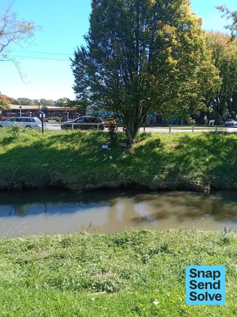


Reported here
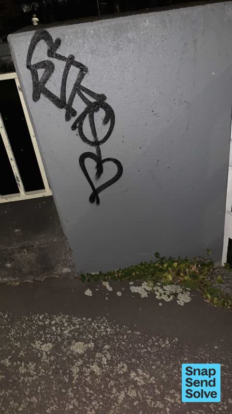
 Graffiti on a road, footpath or bridge —
 Graffiti on bridge
 Damaged Street Sign —
 “Riverlaw Tce” street sign strap broken and sign half off pole.
 Dumped Rubbish —
 dumped rubbish
 Graffiti on a road, footpath or bridge —
 Graffiti on bridge
 Graffiti on a sign, mural or public art —
 Graffiti on sign board
 Pavement - Damaged —
 Very small low priority 10cm wide but shallow pothole. Doesn’t need to be done soon just flagging it for sometime in the future.
 Graffiti on a fence, building or structure —
 3 lots of graffiti on and under bridge.
 Poles and Signage - General —
  General Request —
 Long grass that never gets cut and with a hot summer on its way it is very close to our dwellings. Pool means foot traffic and in the weeken
- Graffiti —
- Graffiti —
- Graffiti —
 General Request —
 Overgrown vegetation requires mowing along opposite side of the river please
 Graffiti —
 Graffiti under the bridge. Requires removal of graffiti please
 Dumped Rubbish —
 Dumped wooden plank requires removal
 Water General —
 Bridge safety Barriers have been graffiti . Requires removal of graffiti please
 Pavement - Damaged —
 Weeds growing out of the area where the gutter edging has not been replaced. Gutter edging replacement required please
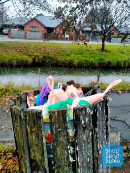 Parks —
 Overflowing bin
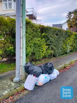 Rubbish/Recycling —
 Rubbish dumped outside. 7 Fifield Tce. Maybe new tenant does not understand the bin system?
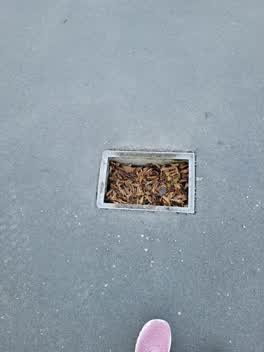 Roading/Streets —
 No cover. Tripping hazard.
 Rubbish/Recycling —
 Two bags of household rubbish have been left beside the bin on the corner of Fifield Tce and Wilsons Road.
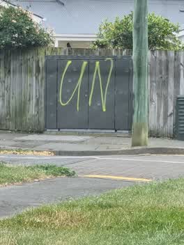 Graffiti —
 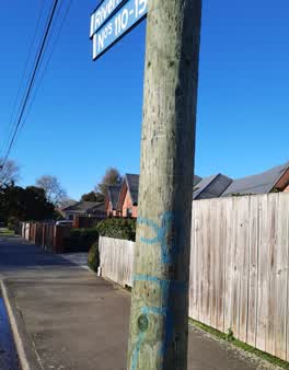 Graffiti —
 on lamp post on Riverlaw near corner of Wilson's road
Roading/Streets —
Stop sign knocked over
Also reported on Riverlaw Terrace
- 172 Riverlaw Terrace — 20 reports
- 80 Riverlaw Terrace — 16 reports
- 108 Riverlaw Terrace — 13 reports
- 60 Riverlaw Terrace — 12 reports
- 346 Riverlaw Terrace — 12 reports
- 218 Riverlaw Terrace — 12 reports
- 126 Riverlaw Terrace — 12 reports
- 364 Riverlaw Terrace — 11 reports
The street’s crash record
NZTA’s record names Riverlaw Terrace in 9 crashes that hurt somebody since 2006 — 1 seriously hurt, nobody killed.
The green nearby
- Waltham Park — 46 m to the edge · Sports ground · 3 ha
- St Martins Park — 350 m to the edge · Sports ground · 2 ha
- Mabel Howard Reserve — 481 m to the edge
- Acorn Reserve — 490 m to the edge
Parks within half a kilometre, measured to the boundary — the council’s open data.
On the doorstep
- Waltham Summer Pool — 94 m away · Sports centres
- Mountain Bike Adventure Company — 376 m away · Attractions
- Sydenham Souvlaki — 380 m away · Fast food
- Roger Street Fish Supply — 387 m away · Fast food
Businesses within four hundred metres, measured at the pin — OpenStreetMap and the council directories.
The bus nearby
- Wilsons Rd near Riverlaw Tce — 39 m away · route 27
- Wilsons Rd near Timbertop Ln — 58 m away · route 27
The closest Metro stops, within four hundred and fifty metres.
The tracks through here
- Walk and bike track through Saint Martins — the line crosses here · walk · bike
- Walk and bike track through Saint Martins — 17 m to the line · walk · bike
- Walk and bike track through Saint Martins — 32 m to the line · walk · bike
- Walk and bike track through Saint Martins — 229 m to the line · walk · bike
- Walk and bike track through Saint Martins — 230 m to the line · walk · bike
Tracks whose line passes within half a kilometre, measured to the line itself — the council’s open data.
The named ground
Named water within 500 m of this address, measured to the line or the edge; the council’s own structure register — bridges, boardwalks and steps standing nearby — the open map’s record.
The remembered names nearby
- Waltham Park plaque — 47 m away ·
(WWI memorial names panel – multiple surnames visible; full list unreadable)
· 2000 - Waltham Park plaque — 48 m away ·
(WWI memorial names panel – multiple names listed)
· 2000 - In Memory of / Freda Newfield — 114 m away ·
IN MEMORY OF / FREDA NEWFIELD / 15 NOVEMBER 1920 - 27 JULY 2004 / WHO ENJOYED THIS VIEW FO
Inscribed plaques within two hundred and fifty metres — the register’s pins, not surveyed spots. The whole roll is at /plaques.
Renting nearby
new bonds in Saint Martins ran about $640 a week — $90 above the city median of $550 — the suburb page keeps the rent record →.
The civic layer
This ground votes in Cashmere ward — the Spreydon-Cashmere-Heathcote community board. Ward lines don’t always follow suburb lines; this one is measured at the pin, not the suburb’s centre.
What stood on this ground → · On the map → · From the air — the Crown’s aerials back to 1936; search the address on RetroLens →
Questions, answered briefly
24 council reports on record since March 2016 — most often graffiti (6), rubbish/recycling (2), roading/streets (2).
Saint Martins, Christchurch — on Riverlaw Terrace.
Nothing on the heritage register at this exact spot — the record around this ground →
Waltham Park — 46 m to its edge, 3 ha.