60 Riverlaw Terrace, Saint Martins
12 reports on record since May 2017 · 12 with photographs. The street’s heaviest record is 110 Riverlaw Terrace — 24 reports on file. Indicative rating valuation and school zones, hazards, bin day and what stood here before.
What gets reported here
- Parks — 2
- Graffiti — 2
- Accessibility — 2
- Trees - General — 1
- Rubbish/Recycling — 1
- Rubbish and Bins - General — 1
Photographed here 12 on record


Reported here
 Rubbish and Bins - General —
 Red bin lid found broken. Please replace.
 Accessibility —
 Men sleep in his car
 Accessibility —
  Trees - General —
 Branch has come down
 Dumped Rubbish —
  Fallen Tree —
 Tree branches all over side of road
 Park - General Request —
 Large branch in river causing blockage
Graffiti —
Lamp post between 84 and 60 Riverlaw
Parks —
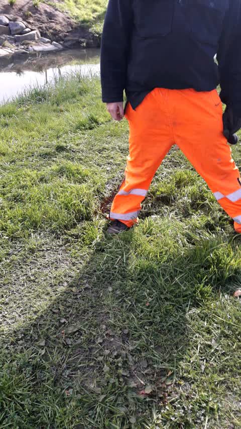
hole in riverbank berm (heathcote river) trip hazard this is a h&s issue please resolve
Parks —
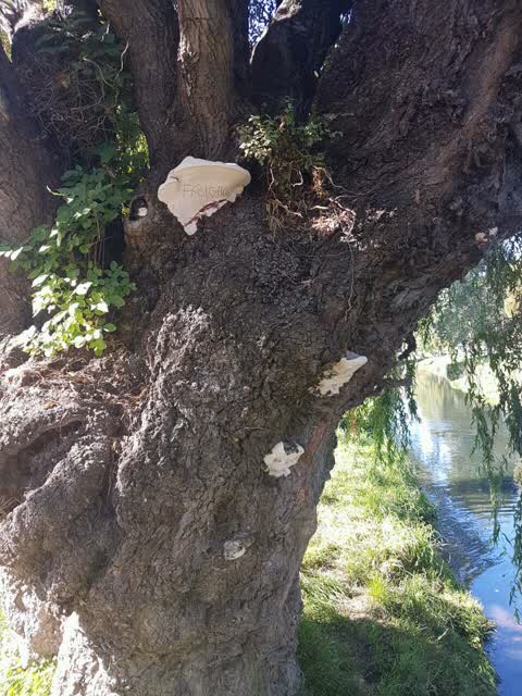
DANGEROUS TREE Large bracket fungus shows centre of tree is fully rotten. Overhangs Street cars and powerline
Rubbish/Recycling —
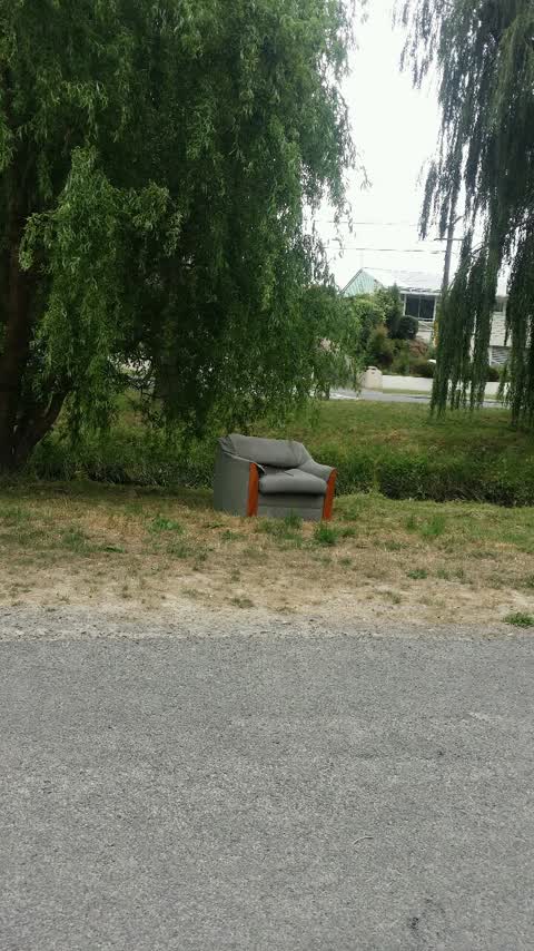
Chair on river bank
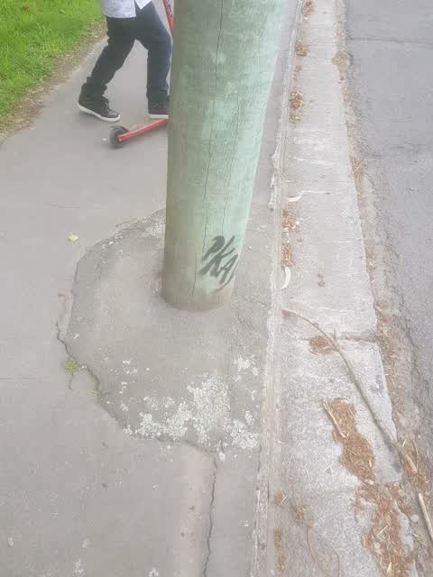
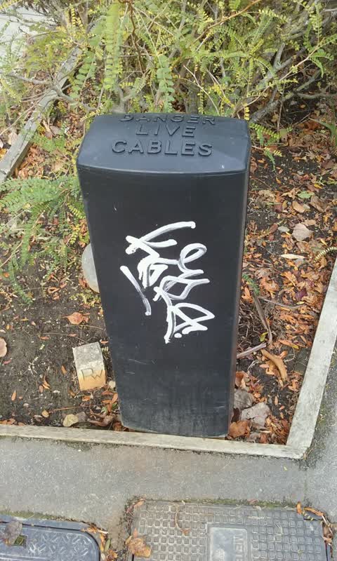
Graffiti —
Not sure what this is. Says Danger live cables. Meterbox CCC
Also reported on Riverlaw Terrace
- 110 Riverlaw Terrace — 24 reports
- 172 Riverlaw Terrace — 20 reports
- 80 Riverlaw Terrace — 16 reports
- 108 Riverlaw Terrace — 13 reports
- 346 Riverlaw Terrace — 12 reports
- 218 Riverlaw Terrace — 12 reports
- 126 Riverlaw Terrace — 12 reports
- 364 Riverlaw Terrace — 11 reports
The street’s crash record
NZTA’s record names Riverlaw Terrace in 9 crashes that hurt somebody since 2006 — 1 seriously hurt, nobody killed.
The green nearby
- Waltham Park — 220 m to the edge · Sports ground · 3 ha
- St Martins Park — 272 m to the edge · Sports ground · 2 ha
- Mabel Howard Reserve — 304 m to the edge
Parks within half a kilometre, measured to the boundary — the council’s open data.
On the doorstep
- Roger Street Fish Supply — 223 m away · Fast food
- Sydenham Souvlaki — 228 m away · Fast food
- Waltham Summer Pool — 263 m away · Sports centres
- Saint Martins Bowling Club — 305 m away · Sports centres
Businesses within four hundred metres, measured at the pin — OpenStreetMap and the council directories.
The bus nearby
- Wilsons Rd near Timbertop Ln — 204 m away · route 27
- Wilsons Rd near Riverlaw Tce — 219 m away · route 27
The closest Metro stops, within four hundred and fifty metres.
The tracks through here
- Walk and bike track through Saint Martins — 7 m to the line · walk · bike
- Walk and bike track through Saint Martins — 38 m to the line · walk · bike
- Walk and bike track through Saint Martins — 164 m to the line · walk · bike
- Walk and bike track through Saint Martins — 209 m to the line · walk · bike
- Walk and bike track through Saint Martins — 304 m to the line · walk · bike
Tracks whose line passes within half a kilometre, measured to the line itself — the council’s open data.
The named ground
Named water within 500 m of this address, measured to the line or the edge; the council’s own structure register — bridges, boardwalks and steps standing nearby — the open map’s record.
The remembered names nearby
- Waltham Park plaque — 241 m away ·
(WWI memorial names panel – multiple names listed)
· 2000 - Waltham Park plaque — 245 m away ·
(WWI memorial names panel – multiple surnames visible; full list unreadable)
· 2000
Inscribed plaques within two hundred and fifty metres — the register’s pins, not surveyed spots. The whole roll is at /plaques.
Renting nearby
new bonds in Saint Martins ran about $640 a week — $90 above the city median of $550 — the suburb page keeps the rent record →.
The civic layer
This ground votes in Cashmere ward — the Spreydon-Cashmere-Heathcote community board. Ward lines don’t always follow suburb lines; this one is measured at the pin, not the suburb’s centre.
What stood on this ground → · On the map → · From the air — the Crown’s aerials back to 1936; search the address on RetroLens →
Questions, answered briefly
12 council reports on record since May 2017 — most often parks (2), graffiti (2), accessibility (2).
Saint Martins, Christchurch — on Riverlaw Terrace.
Nothing on the heritage register at this exact spot — the record around this ground →
Waltham Park — 220 m to its edge, 3 ha.