St Albans School
Contributing · State · St Albans, Christchurch
599 students on the roll in St Albans · EQI 414 · an enrolment scheme in place.

Welcome to St Albans School Grow – Nurture – Thrive Rere mai ai te kāhui manu ki te māpuna wai, he momo rere tō tēnā tō tēnā , he kōrero, he kāinga, he kura The flock of birds fly to the water source. Each of them fly differently. They connect in a place of learning, nurture [&he — stalbans.school.nz
Its rating
Final decile (2022): 8. Current Equity Index: 414. Decile and EQI describe the community a school draws its students from — they say nothing about how well it teaches.
The record
- 17 Sheppard Place, St Albans, Christchurch, 8014 — the street’s record
- Its suburb: St Albans — the suburb’s own record
- Roll: 599 (September 2026)
- Co-Educational
- Donations may be requested
- Opened 1873
- An enrolment scheme is in place.
- Isolation index 0.09 — the Ministry’s remoteness measure; higher is more remote
- Instruction: Some students taught in te reo Māori
- Cohort entry: Yes
- Phone: 03-3559132
- Email: stalbans@stalbans.school.nz
- Contact: Andrea Harnett
- Website: stalbans.school.nz
Who the roll is
Students may identify with more than one group — the counts are the Ministry’s own and need not sum to the roll.
Enrolment zone
- St Albans School — in force from 2020-07-04 · 3 km²
It covers: Edgeware, Mairehau, Saint Albans.
Indicative only — the school’s written enrolment scheme is the legal boundary. Confirm with the school before relying on it.
Other schools near here
 St Albans Catholic School (Christchurch) — decile 9 · EQI 394 · 464 m
- St Francis of Assisi Catholic School — decile 8 · EQI 408 · 1.1 km
- Mairehau Primary School — decile 6 · EQI 466 · 1.3 km
 Selwyn House School — private — not rated · 1.3 km
- Ferndale Te Ahu — decile 4 · EQI 521 · 1.4 km
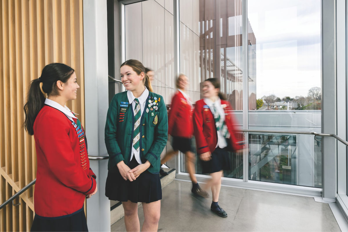 St Margaret's College — private — not rated · 1.5 km
- Te Hiwa Shirley Primary School — decile 3 · EQI 494 · 1.5 km
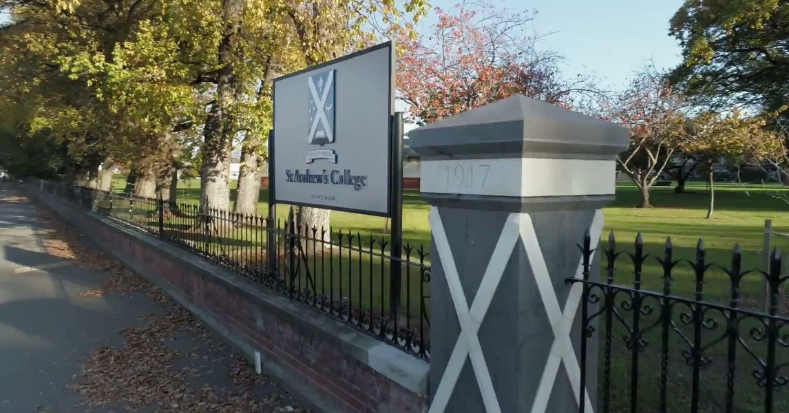 St Andrew's College (Christchurch) — private — not rated · 1.5 km
The green nearby
Parks whose drawn outline sits within 400 m — measured to the outline itself, so a school on a big reserve’s edge still counts.
- English Park — Sports ground · 59 m to its edge
- St Albans Tennis Club — Sports ground · 231 m to its edge
The bus stop
The nearest stop the Metro map carries — measured to the school’s pin, not its gate.
- Cranford St near Berwick St — 268 m · route 27
The reports nearby
601 reports pinned within 250 m of the school’s point — most often Roads & footpaths and Graffiti & vandalism, 488 with a photograph. A pin is where a reporter stood, not a claim about the school.
 Pavement - Damaged — 19 Courtenay Street, St Albans, Christchurch 8014, New Zealand · 27 September 2026
 Park - General Request — 18 Sheppard Pl, Canterbury, Christchurch 8014, New Zealand · 25 September 2026
 Hazard — vehicle — 85 Trafalgar St, Canterbury, Christchurch 8014, New Zealand · 20 September 2026
 Litter — 115 Cranford Street, St Albans, Christchurch 8014, New Zealand · 10 September 2026
 Dumped Rubbish — 117 Cranford St, Canterbury, Christchurch 8014, New Zealand · 31 August 2026
 Hazard — vehicle — 30 Courtenay Street, St Albans, Christchurch 8014, New Zealand · 29 August 2026
 Overgrown Vegetation — 83 Westminster Street, St Albans, Christchurch 8014, New Zealand · 28 August 2026
- Noise - General — 18 Sheppard Pl, Canterbury, Christchurch 8014, New Zealand · 26 August 2026
 Overgrown Vegetation — 18 Sheppard Pl, Canterbury, Christchurch 8014, New Zealand · 20 August 2026
 Fallen Tree — 18 Sheppard Pl, Canterbury, Christchurch 8014, New Zealand · 19 August 2026
 Hazard — vehicle — 15 Coles Pl, Canterbury, Christchurch 8014, New Zealand · 17 August 2026
 Street Gutters / Storm Water — 117 Cranford St, Canterbury, Christchurch 8014, New Zealand · 10 August 2026
Under the ground
The plans and surveys the site keeps, asked once of the school’s ground — footprints and plan maps, not engineering findings.
- The February 2011 survey drew liquefaction over this point — mapped ground failure — a footprint, not a finding
- The September 2010 survey drew liquefaction over this point — mapped ground failure — a footprint, not a finding
- The liquefaction model grades it “High Liquefaction Vulnerability” — the 2019 screening study
Ministry of Education school directory via data.govt.nz · zones via the Ministry’s enrolment-zone map · refreshed 3 October 2026.
What stood on this ground before → · On the map →
Questions, answered briefly
Contributing · State · Co-Educational — in St Albans.
599 on the roll at September 2026 — the Ministry of Education’s count.
EQI 414 — its final decile (2022, before the EQI replaced it) was 8.
1 zone polygon on record — it covers Edgeware, Mairehau, Saint Albans. The boundary drawn here is indicative; the Ministry’s written scheme is the legal answer.