17 Olivine Street, Shirley
12 reports on record since May 2019 · 10 with photographs. The most-reported address on Olivine Street. Indicative rating valuation and school zones, hazards, bin day and what stood here before.
What gets reported here
Photographed here 10 on record


Reported here
 Dumped Rubbish —
 trolley load of rubbish on berm outside our Voss st boundary
 Street Cleaning —
 2 weeks ago Voss st was resealed. on Mon 3rd. sweeper truck swept the street- apart from the north side. South side gutters are clean. Nort
 Rubbish and Bins - General —
 Red bin lid broken by collection truck (Tried to splice it but that failed)
 Water Leak —
  Water Leak —
 Our water meter & tap at 17 olivine st were replaced not long ago. It's leaking again. The Toby is full and surrounding ground is wet. Also
- Dumped Rubbish —
- Water Leak —
 Roading/Streets —
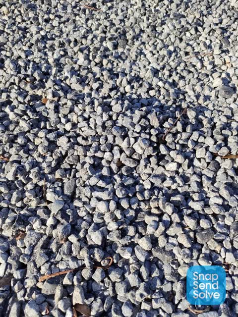
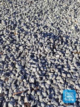
 Olivine st was resealed months ago. Sweeper did go over it but didn't do a very good job. Street is still covered with loose stone that make
Roading/Streets —
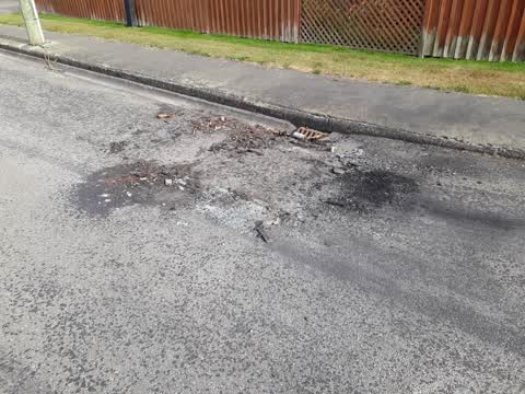
a stolen car was burnt out beside our place. the car was taken away but they left all the crap, to blow around or wash into the stormwater.
Roading/Streets —
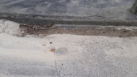
when burst water pipe was repaired outside 17 olivine st, the mud and crap was not cleaned out of the gutter and drain. next time it rains,
Roading/Streets —
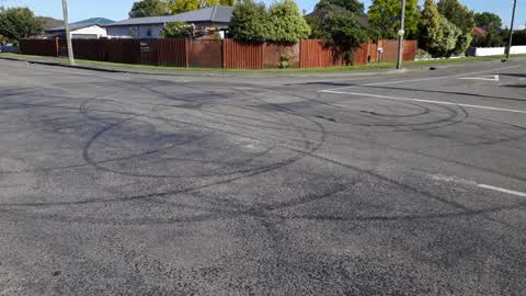
intersection Voss & Olivine st is always having horns do wheelies. its dangerous, noisy, etc... this morning again at 5am and again 5.20am.
Wastewater/Stormwater —
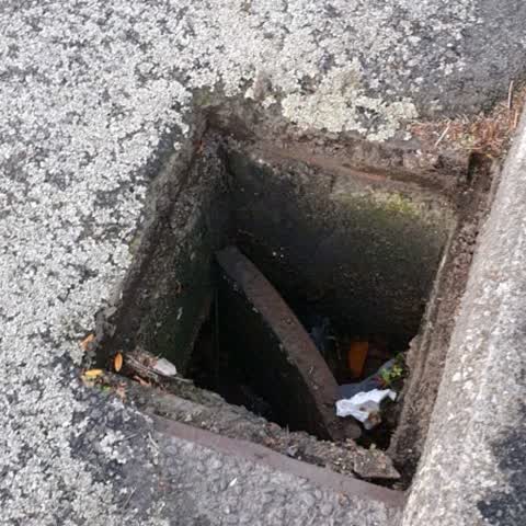
drain cover fallen in
Also reported on Olivine Street
- 16 Olivine Street — 5 reports
- 18 Olivine Street — 3 reports
- 6 Olivine Street — 2 reports
- 45 Olivine Street — 2 reports
- 42 Olivine Street — 2 reports
- 41 Olivine Street — 2 reports
- 31 Olivine Street — 2 reports
- 51 Olivine Street — 1 report
The street’s crash record
NZTA’s record names Olivine Street in 3 crashes that hurt somebody since 2006 — 1 seriously hurt, nobody killed.
The green nearby
- Pagoda Playground — 315 m to the edge
- Macfarlane Park — 335 m to the edge · Sports ground · 8 ha
- Wilmington Reserve — 440 m to the edge · 2 ha
Parks within half a kilometre, measured to the boundary — the council’s open data.
On the doorstep
- Jade Chinese Takeaway — 182 m away · Fast food
- O'sheas Public House — 187 m away · Restaurants
- O'shea's — 195 m away · Bars & pubs
- TAB — 202 m away · Bookmaker
Businesses within four hundred metres, measured at the pin — OpenStreetMap and the council directories.
The bus nearby
- Marshland Rd near Voss St — 127 m away · route 60, route 135
- Marshland Rd near Pagoda St — 153 m away · route 60, route 135
The closest Metro stops, within four hundred and fifty metres.
The tracks through here
- Walk and bike track through Shirley — 121 m to the line · walk · bike
- Walk and bike track through Shirley — 348 m to the line · walk · bike
- Walk and bike track through Shirley — 388 m to the line · walk · bike
Tracks whose line passes within half a kilometre, measured to the line itself — the council’s open data.
The named ground
Named water within 500 m of this address, measured to the line or the edge; the council’s own structure register — bridges, boardwalks and steps standing nearby — the open map’s record.
Renting nearby
new bonds in Shirley ran about $575 a week — $25 above the city median of $550 — the suburb page keeps the rent record →.
The civic layer
This ground votes in Innes ward — the Papanui-Innes-Central community board. Ward lines don’t always follow suburb lines; this one is measured at the pin, not the suburb’s centre.
What stood on this ground → · On the map → · From the air — the Crown’s aerials back to 1936; search the address on RetroLens →
Questions, answered briefly
12 council reports on record since May 2019 — most often roading/streets (4), water leak (3), dumped rubbish (2).
Shirley, Christchurch — on Olivine Street.
Nothing on the heritage register at this exact spot — the record around this ground →
Pagoda Playground — 315 m to its edge.