228A Lake Terrace Road, Shirley
12 reports on record since January 2016 · 11 with photographs. The street’s heaviest record is 148 Lake Terrace Road — 16 reports on file. Indicative rating valuation and school zones, hazards, bin day and what stood here before.
What gets reported here
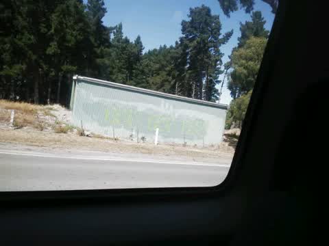
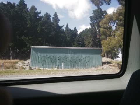
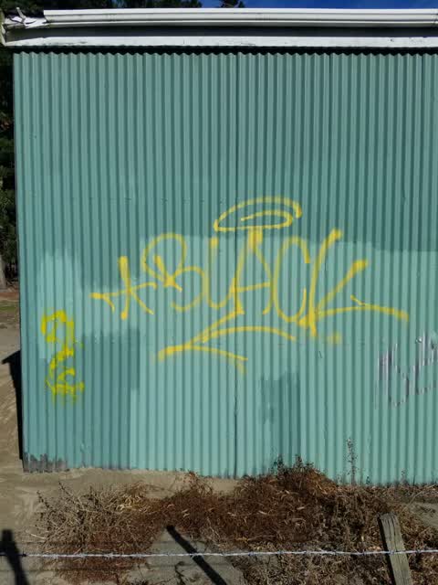
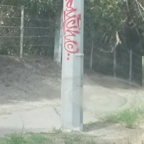
- Graffiti — 4
- Sewer - Leak / Blockage — 2
- Flooding — 2
- Damaged Road — 2
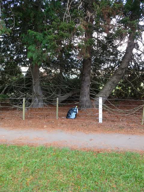
- Rubbish/Recycling — 1
- Abandoned Vehicle — 1
Photographed here 11 on record


Reported here
 Damaged Road —
 Every time a bus hits this repair line in the road it’s causes earthquake like shaking to the house at 234 lake terrace road. Cracking the i
 Damaged Road —
 Hi The, A local resident has complained to me about her house shaking particularly while buses travel across this piece of repaired seal clo
 Sewer - Leak / Blockage —
 Doesn’t smell or look good been leaking a few days
 Sewer - Leak / Blockage —
 Wastewater leaking across footpath.
 Flooding —
 Waste water is flowing over the footpath. It appears to have paper in it and smells bad.
 Flooding —
 Photos looking east. Footpath floods. Obviously pipe under footpath doesn't work.
- Abandoned Vehicle —
Graffiti —
Graffiti —
Rubbish/Recycling —
Graffiti —
Graffiti —
All down lake terrace trees and poles with graffit
Also reported on Lake Terrace Road
- 148 Lake Terrace Road — 16 reports
- 259 Lake Terrace Road — 11 reports
- 234 Lake Terrace Road — 10 reports
- 254 Lake Terrace Road — 9 reports
- 265 Lake Terrace Road — 8 reports
- 242 Lake Terrace Road — 7 reports
- 176–194 Lake Terrace Road — 7 reports
- 236 Lake Terrace Road — 6 reports
The street’s crash record
NZTA’s record names Lake Terrace Road in 30 crashes that hurt somebody since 2006 — 1 person killed, 8 seriously hurt.
The green nearby
- Oakmont Reserve — 134 m to the edge
- Horseshoe Lake Reserve — 152 m to the edge · Regional · 33 ha
- Lytham Reserve — 272 m to the edge
- Fairway Reserve — 369 m to the edge · 1 ha
- Pagoda Playground — 375 m to the edge
Parks within half a kilometre, measured to the boundary — the council’s open data.
On the doorstep
- Links Cafe & Functions — 121 m away · Cafés
- Christchurch Golf Club — 180 m away · Golf courses
- Granita Bed and Breakfast — 315 m away · B&Bs
Businesses within four hundred metres, measured at the pin — OpenStreetMap and the council directories.
The bus nearby
- Lake Terrace Rd near Fairway Dr — 324 m away · route 60
- Lake Terrace Rd near Fairway Dr — 333 m away · route 60
The closest Metro stops, within four hundred and fifty metres.
The named ground
Named water within 500 m of this address, measured to the line or the edge; the council’s own structure register — bridges, boardwalks and steps standing nearby — the open map’s record.
Renting nearby
new bonds in Shirley ran about $575 a week — $25 above the city median of $550 — the suburb page keeps the rent record →.
The civic layer
This ground votes in Burwood ward — the Coastal-Burwood-Linwood community board. Ward lines don’t always follow suburb lines; this one is measured at the pin, not the suburb’s centre.
What stood on this ground → · On the map → · From the air — the Crown’s aerials back to 1936; search the address on RetroLens →
Questions, answered briefly
12 council reports on record since January 2016 — most often graffiti (4), sewer - leak / blockage (2), flooding (2).
Shirley, Christchurch — on Lake Terrace Road.
Nothing on the heritage register at this exact spot — the record around this ground →
Oakmont Reserve — 134 m to its edge.