4 New Brighton Road
10 council reports since August 2019, 9 carrying a photograph. The street’s heaviest record is 27A New Brighton Road, 11 reports on file.
From the air, then
Sourced from Canterbury Maps and partners. LINZ, CC BY 3.0 NZ. Each frame is cut from Environment Canterbury’s historic imagery MapServer for that decade, only where the Footprints layer names a CC BY survey (NZAM-covered spots stay out). RetroLens holds more Crown aerials →
The green nearby
- Dudley Creek Riverbank, 283 m to the edge
- Richmond Park, 413 m to the edge · Sports ground · 4 ha · playground, 38 pieces
- Sabina Playground, 433 m to the edge · playground, 10 pieces
Parks within half a kilometre, measured to the boundary, the council’s open data. The whole roll is at /parks.
The civic shelf nearby
- Shirley Library, 328 m away · Library
- Shirley Service Centre, 328 m away · Service centre
Libraries, halls and the rest within half a kilometre, the council’s open data.
On the doorstep
- Sushi Express - The Palms, 58 m away · Fast food
- Z2O, 59 m away · Car washes
- Z, 66 m away · Petrol stations
- KFC, 72 m away · Fast food
Businesses within four hundred metres, measured at the pin, OpenStreetMap and the council directories.
The bus nearby
- North Parade, 52 m away · route 60, the Orbiter (clockwise)
- North Parade, 77 m away · route 60, the Orbiter (anticlockwise)
The closest Metro stops, within four hundred and fifty metres.
The tracks through here
- Walk and bike track through Shirley, 4 m to the line · walk · bike
- Walk and bike track through Shirley, 8 m to the line · walk · bike
- Walk and bike track through Shirley, 37 m to the line · walk · bike
- Walk and bike track through Shirley, 70 m to the line · walk · bike
- Walk and bike track through Shirley, 169 m to the line · walk · bike
Tracks whose line passes within half a kilometre, the council’s open data.
The named ground
Named water within 500 m of this address, measured to the line or the edge; the council’s own structure register, bridges, boardwalks and steps standing nearby, the open map’s record.
Renting nearby
new bonds in Shirley ran about $575 a week, $25 above the city median of $550, the suburb page keeps the rent record →.
What gets reported here
Photographed here 9 on record


What’s on record
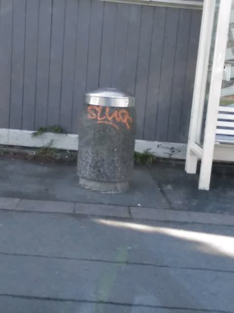
 Graffiti on a sign, mural or public art, 14 Oct 2025
 Graffiti on signage centre island white arrow
 Poles and Signage - General, 9 May 2025
 It seems that the yellow paint is being scraped off, little by little all the yellow paint from the traffic lights long poles, they used to
 Traffic Signals urgent safety issue, 20 Feb 2025
 Smiths crane hire truck turned corner and took out the traffic lights. He didn’t even stop.
 Overgrown Vegetation, 11 Feb 2025
 I reported this in December, it’s now well and truly overgrown with weeds if any plants were planted they will long be dead. Don’t put in
 Graffiti on a fence, building or structure, 17 Jan 2025
 Overgrown Vegetation, 8 Dec 2024
 New corner and it looks a shambles with weeds. Why put them in if not being maintained
 Roads - General, 11 Oct 2024
 Lack of right turn arrows from Shirley&New Brighton Rds. This has been an issue especially at peak times.CCC flyer re intersection upgrade s
 Roads - General, 27 Sept 2024
 Intersections turning signals not in operation and long cue of traffic trying to turn and no green arrow working.
- Water General, 13 Oct 2023
Graffiti, 27 Aug 2019
Elsewhere on New Brighton Road
- 27A New Brighton Road, 11 reports
- 1R New Brighton Road, 10 reports
- 32 New Brighton Road, 9 reports
- 38 New Brighton Road, 8 reports
- 34 New Brighton Road, 8 reports
- 40 New Brighton Road, 6 reports
- 11-21 New Brighton Road, 6 reports
- 50A New Brighton Road, 5 reports
The street’s crash record
NZTA’s record names New Brighton Road in 41 crashes that hurt somebody since 2006, 9 seriously hurt, nobody killed.
The civic layer
This ground votes in Burwood ward, the Coastal-Burwood-Linwood community board is its local layer. Ward lines don’t always follow suburb lines; this one is measured at the pin, not the suburb’s centre. The whole roll is at /wards.
New Brighton Road, the whole record → · Everything about Shirley → · What stood on this ground → · On the map → · From the air, RetroLens holds the Crown’s aerials back to 1936; search the address there →
Questions, answered briefly
10 council reports on record since August 2019, most often roads - general (2), overgrown vegetation (2), water general (1).
Shirley, Christchurch, on New Brighton Road.
Nothing on the heritage register at this exact spot, the record around this ground →
Dudley Creek Riverbank, 283 m to its edge.