3 Seafield Place, South New Brighton
14 reports on record since August 2021 · 12 with photographs. The most-reported address on Seafield Place. Indicative rating valuation and school zones, hazards, bin day and what stood here before.
What gets reported here
- Rubbish/Recycling — 5
- Dumped Rubbish — 4
- Parks — 3
- Roading/Streets — 1
- Park - General Request — 1
Photographed here 12 on record


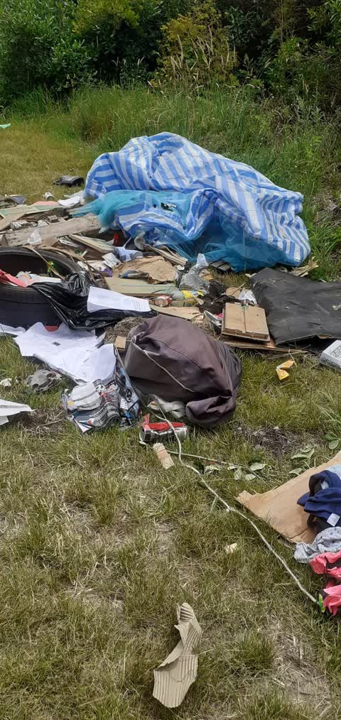
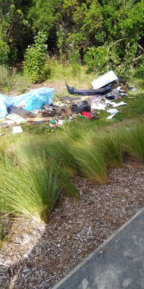
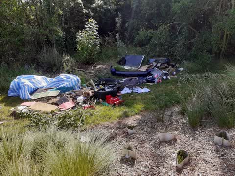
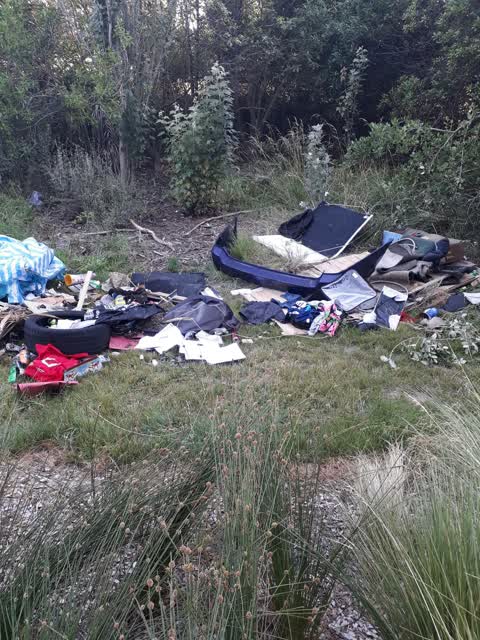
Reported here
 Dumped Rubbish —
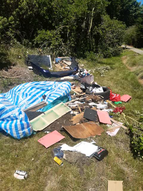
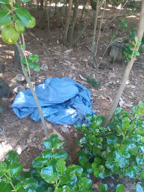
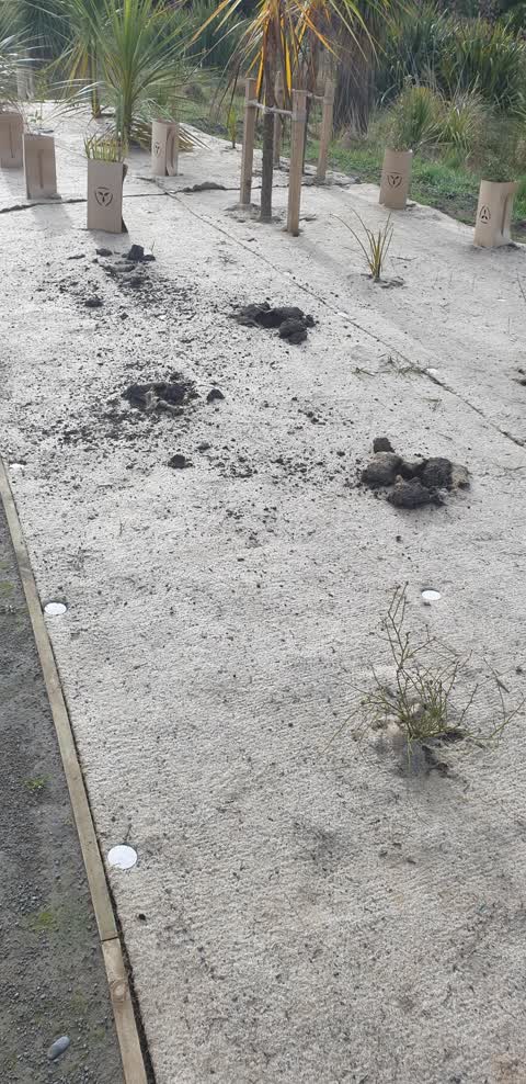
 Shallowly buried thin layer of lots of rubbish. Chip packets and plastic bags. All along the path from the school to the walkway.
- Park - General Request —
- Dumped Rubbish —
 Dumped Rubbish —
  Dumped Rubbish —
  Rubbish/Recycling —
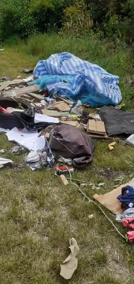
 The rubbish is just off the estuary walkway between the back of South Brighton School about 50m from the car park at Beatty Street heading t
 Rubbish/Recycling —
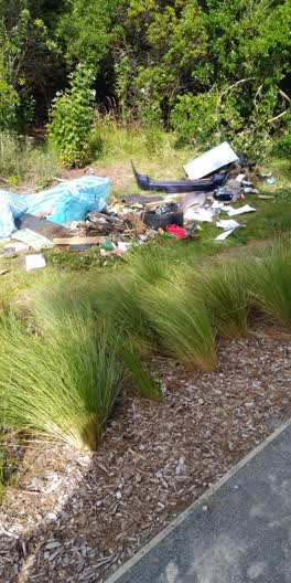
 Next to bike track behind south New Brighton school area
 Rubbish/Recycling —
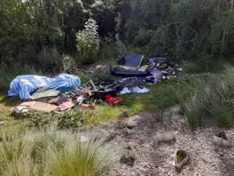
 This is on walking track about 200m from School carpark, heading towards Bridge st. App won't pin location correctly. A lot of domestic was
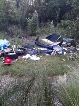 Rubbish/Recycling —
 Parks —
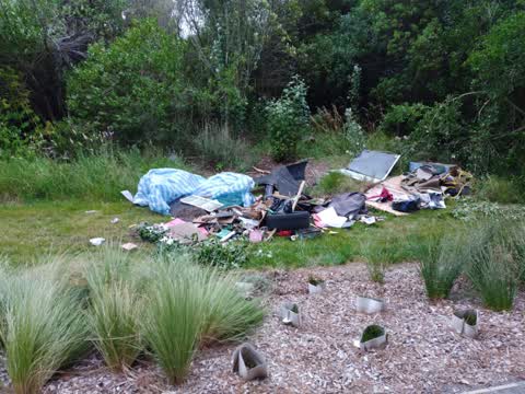
more dumped rubbish further down Southbrighton walkway behind School
Parks —
dumped rubbish South Brighton walkway behind Primary School
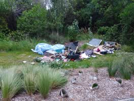 Rubbish/Recycling —
 Spread all along the track
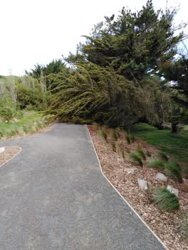 Parks —
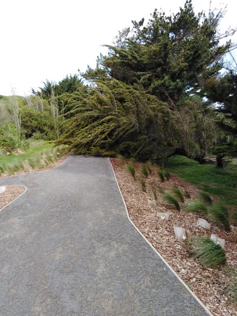
 Large tree has fallen across the walking track behind South New Brighton school
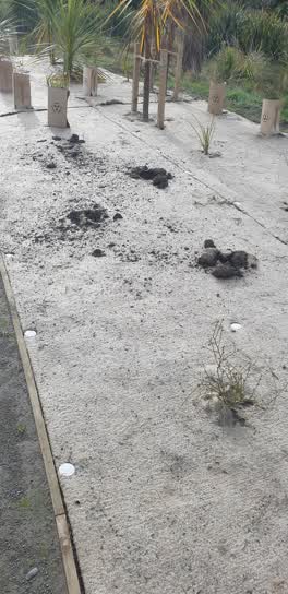 Roading/Streets —
 I counted 24 plants in total stolen, such a shame
Also reported on Seafield Place
- 9 Seafield Place — 4 reports
- 1 Seafield Place — 4 reports
- 2 Seafield Place — 3 reports
- 7 Seafield Place — 2 reports
- 31A Seafield Place — 1 report
- 31 Seafield Place — 1 report
- 18 Seafield Place — 1 report
- 15 Seafield Place — 1 report
The green nearby
- Bridge Reserve — you are in it · 7 ha
- South New Brighton Park — 110 m to the edge · Sports ground · 30 ha
Parks within half a kilometre, measured to the boundary — the council’s open data.
On the doorstep
- South New Brighton Community Centre — 145 m away · Venues & events
Businesses within four hundred metres, measured at the pin — OpenStreetMap and the council directories.
The bus nearby
The closest Metro stops, within four hundred and fifty metres.
The tracks through here
- Walk and bike track through South New Brighton — 7 m to the line · walk · bike
Tracks whose line passes within half a kilometre, measured to the line itself — the council’s open data.
The named ground
Named water within 500 m of this address, measured to the line or the edge; Named places within 1.5 km of this address; the council’s own structure register — bridges, boardwalks and steps standing nearby — the open map’s record.
The remembered names nearby
- Proudly Presented / by the / Christchurch Garden City Trust — 163 m away ·
Proudly Presented / by the / CHRISTCHURCH GARDEN CITY TRUST
· 1899 - Proudly Presented / by the / Christchurch Garden City Trust — 164 m away ·
Proudly Presented / by the / CHRISTCHURCH GARDEN CITY TRUST
· 1899 - Proudly Presented / by the / Christchurch Garden City Trust — 166 m away ·
Proudly Presented / by the / CHRISTCHURCH GARDEN CITY TRUST
· 1899
Inscribed plaques within two hundred and fifty metres — the register’s pins, not surveyed spots. The whole roll is at /plaques.
Renting nearby
new bonds in South New Brighton ran about $640 a week — $90 above the city median of $550 — the suburb page keeps the rent record →.
The civic layer
This ground votes in Coastal ward — the Coastal-Burwood-Linwood community board. Ward lines don’t always follow suburb lines; this one is measured at the pin, not the suburb’s centre.
What stood on this ground → · On the map → · From the air — the Crown’s aerials back to 1936; search the address on RetroLens →
Questions, answered briefly
14 council reports on record since August 2021 — most often rubbish/recycling (5), dumped rubbish (4), parks (3).
South New Brighton, Christchurch — on Seafield Place.
Nothing on the heritage register at this exact spot — the record around this ground →
Bridge Reserve — the address is inside it, 7 ha.