71 Beatty Street, South New Brighton
16 reports on record since November 2016 · 10 with photographs. The street’s heaviest record is 74 Beatty Street — 157 reports on file. Indicative rating valuation and school zones, hazards, bin day and what stood here before.
What gets reported here
- Graffiti — 5
- Parks — 3
- Roading/Streets — 2
- Facility - General Request — 2
- Rubbish/Recycling — 1
- Pavement - Damaged — 1
Photographed here 10 on record


Reported here
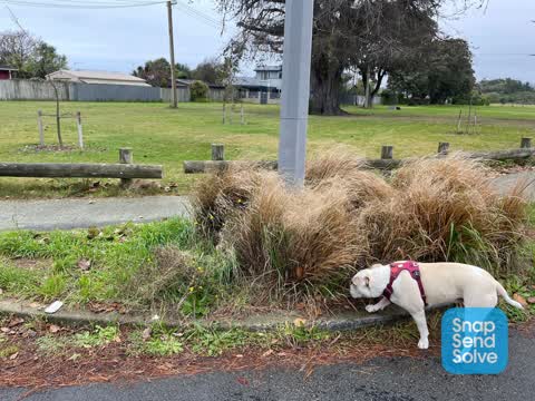
 Overgrown Vegetation —
 large bush type tree that is blocking a significant part of the footpath. parents with prams, people in wheelchairs and people with walking
 Pavement - Damaged —
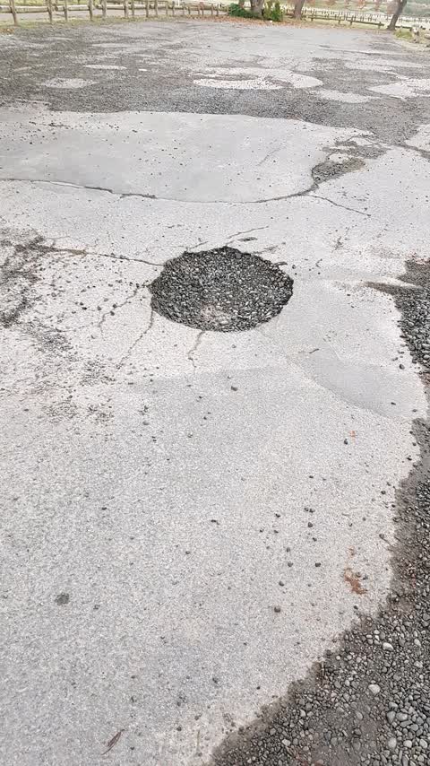
 Badly potholed carpark in area that is used for school drop offs and park visits. Is unsafe for pedestrians and cyclists.
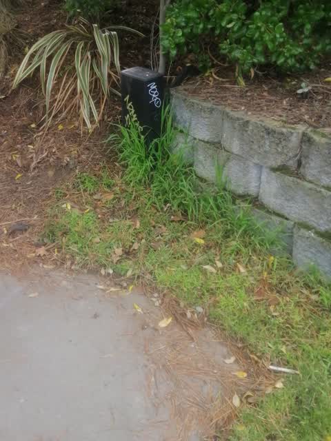
- Graffiti —
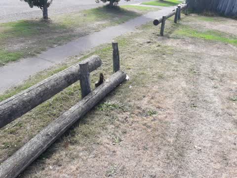
- Facility - General Request —
- Facility - General Request —
- Graffiti —
- Graffiti —
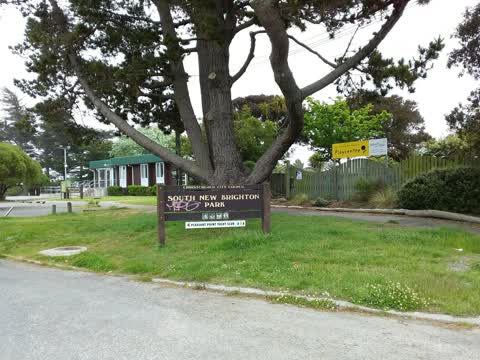
- Park - General Request —
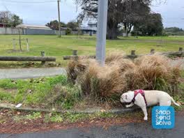 Parks —
 Gardens over grown grass need weeding and trees need lifting needs mulching
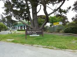 Graffiti —
 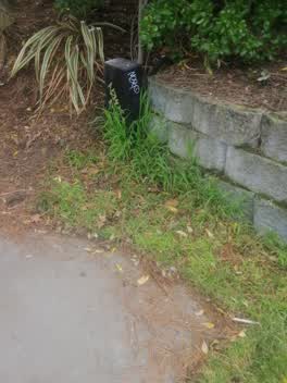 Graffiti —
 Parks —
Parks —
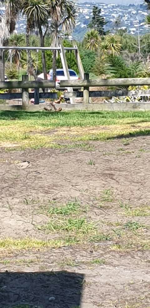
cars inside the park. speeding through the field
Roading/Streets —
South brighton car park. There is a rumour that some small animals and children has disappeared in this pothole.
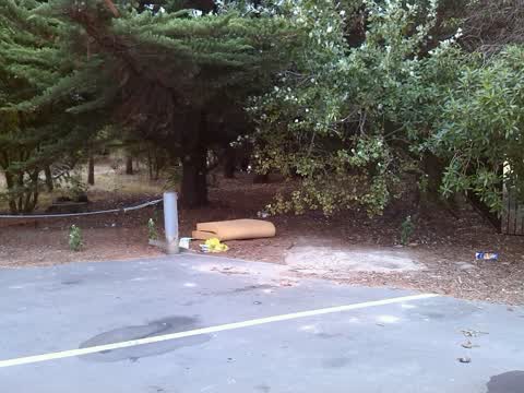
Rubbish/Recycling —
Roading/Streets —
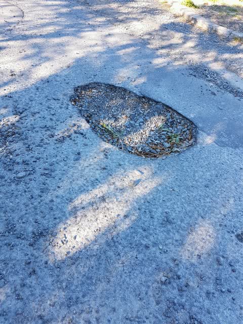
Pothole in entrance to carpark
Also reported on Beatty Street
- 74 Beatty Street — 157 reports
- 72 Beatty Street — 20 reports
- 55–71 Beatty Street — 12 reports
- 74A Beatty Street — 10 reports
- 70 Beatty Street — 5 reports
- 42 Beatty Street — 4 reports
- 69 Beatty Street — 3 reports
- 4 Beatty Street — 3 reports
The street’s crash record
NZTA’s record names Beatty Street in 7 crashes that hurt somebody since 2006 — 2 seriously hurt, nobody killed.
The green nearby
- South New Brighton Park — you are in it · Sports ground · 30 ha
- Bridge Reserve — 83 m to the edge · 7 ha
- South New Brighton Beach — 416 m to the edge · Regional · 37 ha
- Te Karoro Karoro Reserve — 465 m to the edge · 2 ha
Parks within half a kilometre, measured to the boundary — the council’s open data.
On the doorstep
- South New Brighton Community Centre — 40 m away · Venues & events
Businesses within four hundred metres, measured at the pin — OpenStreetMap and the council directories.
The bus nearby
The closest Metro stops, within four hundred and fifty metres.
The tracks through here
- Walk and bike track through South New Brighton — 89 m to the line · walk · bike
Tracks whose line passes within half a kilometre, measured to the line itself — the council’s open data.
The named ground
Named places within 1.5 km of this address; the council’s own structure register — bridges, boardwalks and steps standing nearby — the open map’s record.
The remembered names nearby
- Proudly Presented / by the / Christchurch Garden City Trust — 21 m away ·
Proudly Presented / by the / CHRISTCHURCH GARDEN CITY TRUST
· 1899 - Proudly Presented / by the / Christchurch Garden City Trust — 22 m away ·
Proudly Presented / by the / CHRISTCHURCH GARDEN CITY TRUST
· 1899 - Proudly Presented / by the / Christchurch Garden City Trust — 24 m away ·
Proudly Presented / by the / CHRISTCHURCH GARDEN CITY TRUST
· 1899
Inscribed plaques within two hundred and fifty metres — the register’s pins, not surveyed spots. The whole roll is at /plaques.
Renting nearby
new bonds in South New Brighton ran about $640 a week — $90 above the city median of $550 — the suburb page keeps the rent record →.
The civic layer
This ground votes in Coastal ward — the Coastal-Burwood-Linwood community board. Ward lines don’t always follow suburb lines; this one is measured at the pin, not the suburb’s centre.
What stood on this ground → · On the map → · From the air — the Crown’s aerials back to 1936; search the address on RetroLens →
Questions, answered briefly
16 council reports on record since November 2016 — most often graffiti (5), parks (3), roading/streets (2).
South New Brighton, Christchurch — on Beatty Street.
Nothing on the heritage register at this exact spot — the record around this ground →
South New Brighton Park — the address is inside it, 30 ha.