18 Plover Street
19 council reports since May 2018, 18 carrying a photograph. The most-reported address on Plover Street.
From the air, then
Sourced from Canterbury Maps and partners. RNZAF, CC BY 3.0 NZ. Each frame is cut from Environment Canterbury’s historic imagery MapServer for that decade, only where the Footprints layer names a CC BY survey (NZAM-covered spots stay out). RetroLens holds more Crown aerials →
The green nearby
- Plover Reserve, 9 m to the edge · playground, 23 pieces
- Southshore Beach Park, 25 m to the edge · Regional · 28 ha
Parks within half a kilometre, measured to the boundary, the council’s open data. The whole roll is at /parks.
The bus nearby
- Rocking Horse Rd near Plover St, 102 m away · route 60
- Rocking Horse Rd near Plover St, 128 m away · route 60
The closest Metro stops, within four hundred and fifty metres.
The named ground
Named places within 1.5 km of this address, the open map’s record.
Renting nearby
new bonds in Southshore ran about $640 a week, $90 above the city median of $550, the suburb page keeps the rent record →.
What gets reported here
- Roading/Streets, 10
- Water Fountain, 1
- Trees - General, 1
- Street Light Outage, 1
- Street Gutters / Storm Water, 1
- Playground Equipment, 1
Photographed here 18 on record




What’s on record
 Street Gutters / Storm Water, 5 Sept 2026
 The rubbish truck has inadvertently backed up onto the grass verge and crushed the rain water drain pipe for 18 and 20 Plover Street
 Dumped Rubbish, 3 Jun 2026
 someone has dumped rubbish at the park.
 General Request, 30 Apr 2025
 As you can see from the photo that the rubbish truck driver has devastated the verge outside my property that I have spent a lot of time and
 Pavement - Damaged, 25 Oct 2024
 Work was done on the path and wasn't finished
 Water Fountain, 5 Feb 2024
 Can we get a water fountain put in for people and animals using the playground
 Trees - General, 5 Feb 2024
 The trees have a lot of dead branches in them and they may fall and hurt someone
- Playground Equipment, 16 Oct 2022
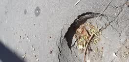 Street Light Outage, 15 Dec 2020
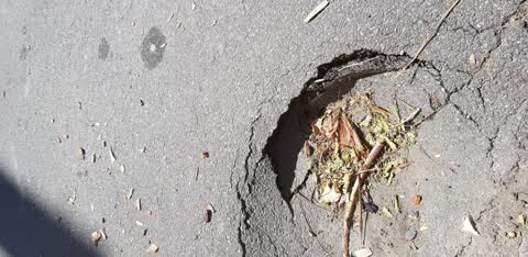
 A hole has appeared in the footpath nuder were the hole is is the disused sewage system from 18 Plover Street southshore.
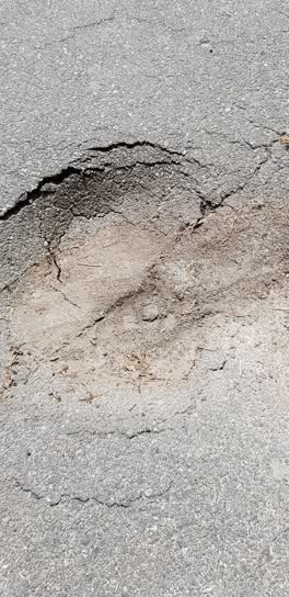 Roading/Streets, 14 Nov 2020
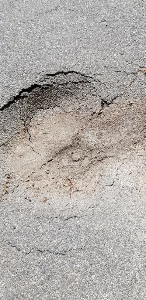
 The footpath is sinking it is getting bad and bigger everyday
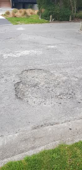 Damaged Road, 5 Oct 2020
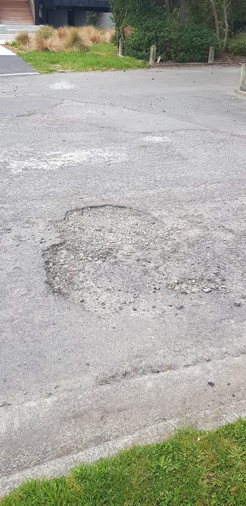
 The entire end of Street is a shambles
Roading/Streets, 23 May 2018
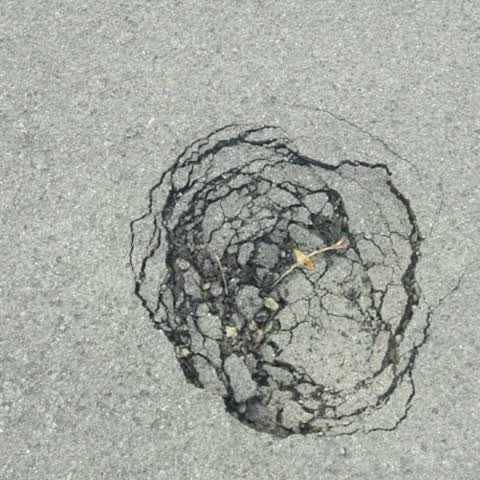
The road has suddenly sunken down
Roading/Streets, 23 May 2018
The road has suddenly sunken down
Roading/Streets, 23 May 2018
The road has suddenly sunken down
Roading/Streets, 23 May 2018
The road has suddenly sunken down
Roading/Streets, 23 May 2018
The road has suddenly sunken down
Roading/Streets, 23 May 2018
The road has suddenly sunken down
Roading/Streets, 23 May 2018
The road has suddenly sunken down
Roading/Streets, 23 May 2018
The road has suddenly sunken down
Roading/Streets, 23 May 2018
The road has suddenly sunken down
Elsewhere on Plover Street
- 17 Plover Street, 5 reports
- 1 Plover Street, 4 reports
- 4 Plover Street, 3 reports
- 8 Plover Street, 2 reports
- 20 Plover Street, 2 reports
- 9 Plover Street, 1 report
- 6 Plover Street, 1 report
- 2 Plover Street, 1 report
The civic layer
This ground votes in Coastal ward, the Coastal-Burwood-Linwood community board is its local layer. Ward lines don’t always follow suburb lines; this one is measured at the pin, not the suburb’s centre. The whole roll is at /wards.
Plover Street, the whole record → · Everything about Southshore → · What stood on this ground → · On the map → · From the air, RetroLens holds the Crown’s aerials back to 1936; search the address there →
Questions, answered briefly
19 council reports on record since May 2018, most often roading/streets (10), water fountain (1), trees - general (1).
Southshore, Christchurch, on Plover Street.
Nothing on the heritage register at this exact spot, the record around this ground →
Plover Reserve, 9 m to its edge.