Staffordshire Street
4 council reports at 3 addresses on Staffordshire Street, Burwood, on record since May 2020.
Where it runs
Each report dot is the average of the spots reports were filed from, where reporters stood on Staffordshire Street, not the street’s surveyed line. The strong outline is Burwood.
From the air, then
Sourced from Canterbury Maps and partners. LINZ, CC BY 3.0 NZ. Each frame is cut from Environment Canterbury’s historic imagery MapServer for that decade, only where the Footprints layer names a CC BY survey (NZAM-covered spots stay out). RetroLens holds more Crown aerials →
The numbered spots
- 4 Staffordshire Street, 2 reports
- 20 Staffordshire Street, 1 report
- 1B Staffordshire Street, 1 report
What got reported
- Roads & footpaths, 2 reports
- Water & drains, 1 report
- Trees & parks, 1 report
Year by year
- 2020, 1 report
- 2021, 1 report
2026 was still in progress when this page was drawn and is left off.
Documents that name it
Records on the shelf that name Staffordshire Street, 3 in total; the 2 earliest:
- Page 1 Advertisements Column 4 (Star, 06 May 1874) · Papers Past ·
…re wood screws tacks cutlery tinware c c at greatly reduced prices thomas partridge south staffordshire stove and ironmongery warehouse 629 papanui road e mainwaring johnson co licensed land brokers l…
- Page 4 Advertisements Column 2 (Star, 23 May 1874) · Papers Past ·
…re wood screws tacks cutlery tinware c c at greatly reduced prices thomas partridge south staffordshire stove and ironmongery warehouse 629 papanui road avonside coach mhis coach will commence run jl…
The rest are a search away, the whole shelf, for the name →
As it was reported

Latest on record
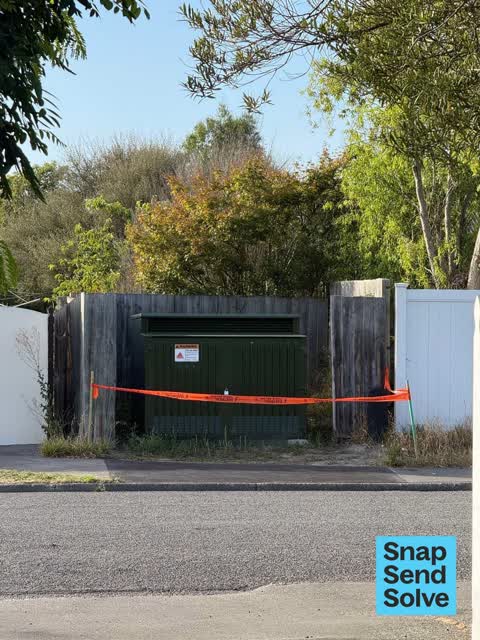
- Overgrown Vegetation at 4 Staffordshire St, 6 Jan 2026
- Poles and Signage - General at 4 Staffordshire St, 6 Jan 2026
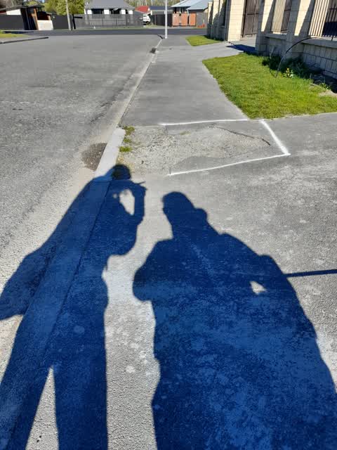
- Roading/Streets at 1B Staffordshire Street, 28 Sept 2021
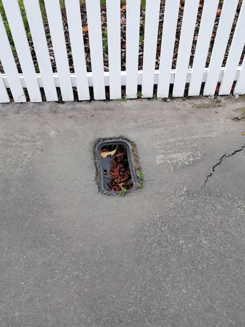
- Water Supply at 20 Staffordshire Street, 23 May 2020
Questions, answered briefly
In Burwood, Christchurch, New Zealand.
4 reports at 3 addresses, most often roads & footpaths (2), water & drains (1), trees & parks (1).
2020, the record covers 3 separate days somebody filed something about it, through 2026.
Everything about Burwood → · Every street the archive knows → · the whole A–Z → · This street as a feed →