Douglas Street
6 reports at 2 addresses in Wigram, the first in 2019, the latest 2024. 6 separate days somebody filed something about it.
Where it runs
Each report dot is the average of the spots reports were filed from, where reporters stood on Douglas Street, not the street’s surveyed line. The strong outline is Wigram.
From the air, then
Sourced from Canterbury Maps and partners. LINZ, CC BY 3.0 NZ. Each frame is cut from Environment Canterbury’s historic imagery MapServer for that decade, only where the Footprints layer names a CC BY survey (NZAM-covered spots stay out). RetroLens holds more Crown aerials →
The addresses on it
- 9 Douglas Street, 4 reports
- 10 Douglas Street, 2 reports
What got reported
- Trees & parks, 5 reports
- Roads & footpaths, 1 report
Year by year
- 2019, 2 reports
- 2023, 2 reports
- 2024, 2 reports
In the written record
Archive documents carrying the street’s name: leads and citations, not verified history. 61 on the shelf; the 3 earliest:
- News of the Week. (Otago Witness, 02 March 1872)
· Papers Past,
…the election of a permanent directorate the report which was read by the secretary mr w s douglas stated that the provisional directors had advertised for competitive designs for a hall with shops and…
- SUPREME COURT. (Star, 18 July 1878)
· Papers Past,
…ym ou9 letters on the subject previously douglas told him who he was mr joynt objected to douglas statements being given by defendant in evidence mr harper replied at considerable length objection dis…
- THE GENERAL ELECTION. (Otago Witness, 14 July 1892)
· Papers Past,
…mr joss liberal tied with the hon h heanage for grimsby messr3 t fielder middleton akers douglas st augustines and h sturt east dorset have been re-elected unopposed the net liberal gain so far amoun…
The rest are a search away, the whole shelf, for the name →
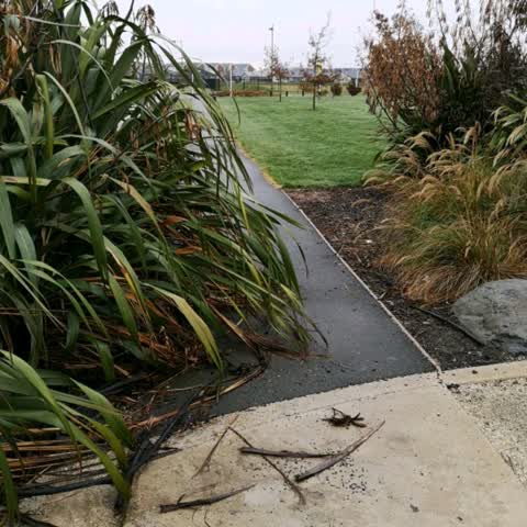
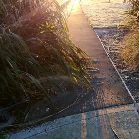
As it was reported


The latest on it
Questions, answered briefly
In Wigram, Christchurch, New Zealand.
6 reports at 2 addresses, most often trees & parks (5), roads & footpaths (1).
2019, the record covers 6 separate days somebody filed something about it, through 2024.
Every street the archive knows → · Wigram → · This street as a feed →