151A 151A
8 council reports since April 2019, 8 carrying a photograph.
On the register here
- Taylors Mistake Bach 1, 68 Taylors Mistake Bay (102m)
- 69 Taylors Mistake Bay, 69 Taylors Mistake Bay (113m)
- 70 Taylors Mistake Bay, 70 Taylors Mistake Bay (194m)
- 60 Taylors Mistake Bay, 60 Taylors Mistake Bay (207m)
- Taylors Mistake Bach 2, 59 Taylors Mistake Bay (227m)
From the air, then
Sourced from Canterbury Maps and partners. RNZAF, CC BY 3.0 NZ. Each frame is cut from Environment Canterbury’s historic imagery MapServer for that decade, only where the Footprints layer names a CC BY survey (NZAM-covered spots stay out). RetroLens holds more Crown aerials →
The green nearby
- Taylors Mistake Beach, 79 m to the edge · Regional · 9 ha · playground, 7 pieces
- Giants Nose, 81 m to the edge · Regional · 2 ha
- Whitewash Reserve, 119 m to the edge · Regional · 9 ha
Parks within half a kilometre, measured to the boundary, the council’s open data. The whole roll is at /parks.
On the doorstep
- Roaming Guides, 392 m away · Attractions
Businesses within four hundred metres, measured at the pin, OpenStreetMap and the council directories.
The named ground
Named places within 1.5 km of this address; the council’s own structure register, bridges, boardwalks and steps standing nearby, the open map’s record.
The remembered names nearby
- Trish & Rick'S / Seat, 198 m away ·
TRISH & RICK'S / SEAT / (Sit, relax and enjoy the view – lower line partly illegible)
· 2009
Inscribed plaques within two hundred and fifty metres, the register’s pins, not surveyed spots. The whole roll is at /plaques.
Renting nearby
new bonds in Sumner ran about $620 a week, $70 above the city median of $550, the suburb page keeps the rent record →.
What gets reported here
- Roading/Streets, 7
- Parks, 1
Photographed here 8 on record
What’s on record
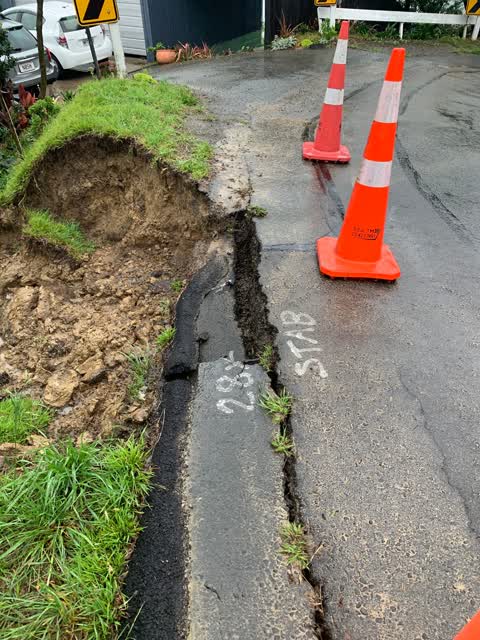
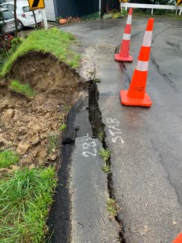 Roading/Streets, 13 Feb 2022
 Council have reviewed this many times, even painted stab on road so know it needs stabilising. It has now collapsed and the rest of the roa
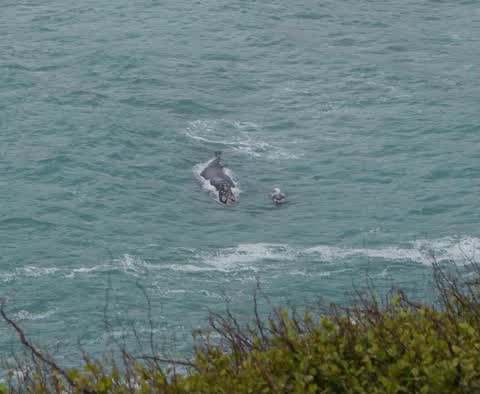
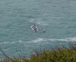 Roading/Streets, 7 Aug 2021
 Traffic dangerously blocking Taylor’s Mistake Rd as people stop to look at the whale in the bay. Road reduced to less than one lane in many
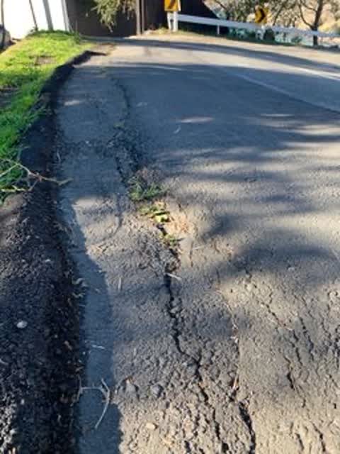
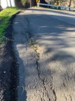 Roading/Streets, 9 Jun 2021
 Reported could have been up to 12 months ago, the roadside is virtually non existent with a steep drop into our property and the bank is wea
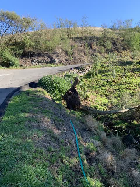
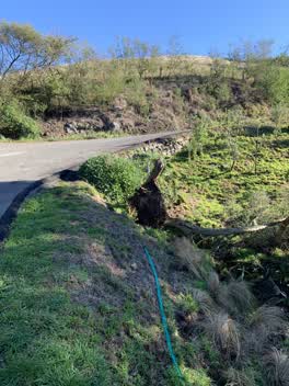 Roading/Streets, 3 Jun 2021
 Tree blown over in storm, on road reserve and potential for it to fall and block the storm water culvert
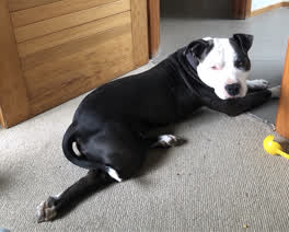 Parks, 28 Mar 2020
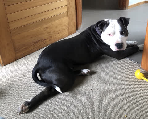
 Dog found at 151A Taylors Mistake Road, very family friendly
Roading/Streets, 19 Nov 2019
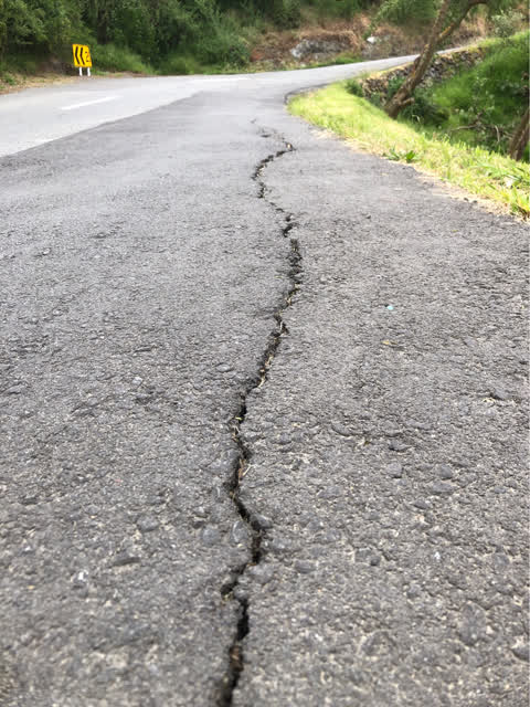
Road edge is collapsing, crack is growing daily, now approximately 25 mm wide, there is no verge to the side of the road and the bank at thi
Roading/Streets, 5 Aug 2019
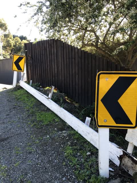
Vehicle has crashed into barrier and broken it off also pushed and bent the sharp corner chevron sign
Roading/Streets, 22 Apr 2019
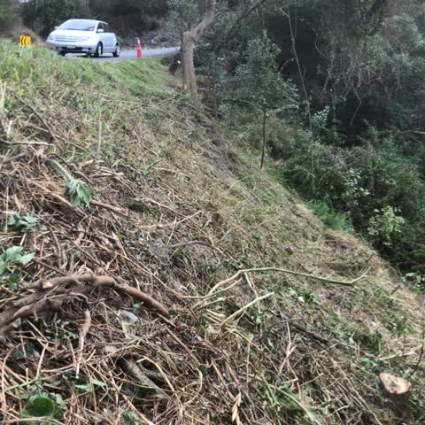
Several vehicles have gone over this bank in the past two years. We have just purchased the property and have cleared the vegetation away s
The civic layer
This ground votes in Heathcote ward, the Spreydon-Cashmere-Heathcote community board is its local layer. Ward lines don’t always follow suburb lines; this one is measured at the pin, not the suburb’s centre. The whole roll is at /wards.
Everything about Sumner → · What stood on this ground → · On the map → · From the air, RetroLens holds the Crown’s aerials back to 1936; search the address there →
Questions, answered briefly
8 council reports on record since April 2019, most often roading/streets (7), parks (1).
Sumner, Christchurch, on A.
The heritage register names 5 places at or beside it, Taylors Mistake Bach 1, 69 Taylors Mistake Bay.
Taylors Mistake Beach, 79 m to its edge, 9 ha.