64 Esplanade, Sumner
13 reports on record since April 2017 · 9 with photographs. The street’s heaviest record is 147 Esplanade — 160 reports on file. Indicative rating valuation and school zones, hazards, bin day and what stood here before.
What gets reported here
Photographed here 9 on record


Reported here
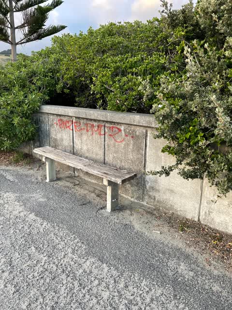
 Graffiti on a fence, building or structure —
 graffiti on esplanade walkway wall in Sumner, approx across from 64 esplanade.
 Graffiti on a fence, building or structure —
 On the bin at the Stoke street entrance to the Esplanade walkway Sumner.
 Graffiti somewhere else —
 Tagging, seaward side of the seawall, the Esplanade, Sumner. As marked on map.
 General Request —
 The wild sown trees on the seaside of the Esplanade walkway are finally being trimmed and hopefully eradicated. If they grow again walkers w
- Pavement - General —
- Pavement - Damaged —
- Water Leak —
- Overgrown Vegetation —
 Overgrown Vegetation —
 Overgrown vegetation along perimeter wall of Sumner boulevard
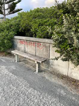 Graffiti —
 Roading/Streets —
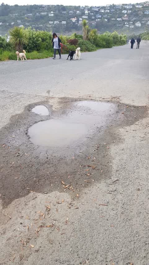
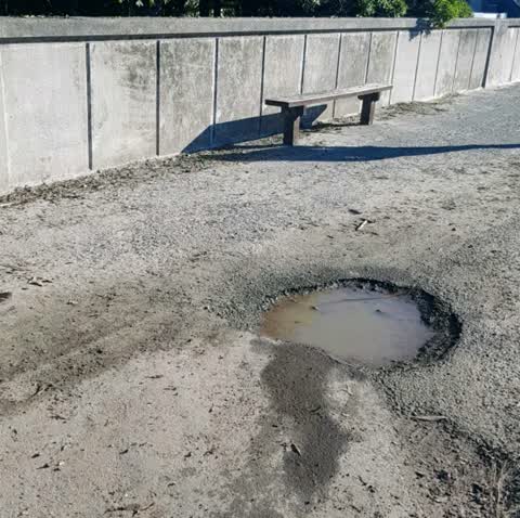
large potholes on the promenade
Roading/Streets —
Roading/Streets —
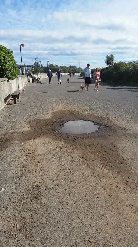
A couple of potholes on the promenade by the steps.
Also reported on Esplanade
- 147 Esplanade — 160 reports
- 52 Esplanade — 111 reports
- 27 Esplanade — 72 reports
- 25 Esplanade — 44 reports
- 2 Esplanade — 42 reports
- 141 Esplanade — 34 reports
- 62 Esplanade — 31 reports
- 16 Esplanade — 30 reports
The street’s crash record
NZTA’s record names Esplanade in 2 crashes that hurt somebody since 2006 — 1 seriously hurt, nobody killed.
The green nearby
- Scarborough Beach — 66 m to the edge · Regional · 5 ha
- Greenwood Park — 288 m to the edge · Regional · 279 ha
- Sumner Croquet Reserve — 312 m to the edge
- Cave Rock Reserve — 362 m to the edge · Regional
- Sumner Beach — 386 m to the edge · Regional · 8 ha
Parks within half a kilometre, measured to the boundary — the council’s open data.
The civic shelf nearby
- Matuku Takotako/sumner Library — 274 m away · Library · Nayland Street, Sumner
Libraries, halls and the rest within half a kilometre — the council’s open data.
On the doorstep
- FreshChoice — 166 m away · Supermarkets
- Dotcom — 171 m away · Cafés
- Dot Com Cafe — 173 m away · Cafés
- L'Estrange Gallery — 183 m away · Galleries
Businesses within four hundred metres, measured at the pin — OpenStreetMap and the council directories.
The bus nearby
The closest Metro stops, within four hundred and fifty metres.
The tracks through here
- Walk and bike track through Sumner — 38 m to the line · walk · bike
Tracks whose line passes within half a kilometre, measured to the line itself — the council’s open data.
The named ground
Named places within 1.5 km of this address; the council’s own structure register — bridges, boardwalks and steps standing nearby — the open map’s record.
The remembered names nearby
- Scarborough Beach Developed plaque — 106 m away ·
(illegible – bench plaque too distant)
· 2013
Inscribed plaques within two hundred and fifty metres — the register’s pins, not surveyed spots. The whole roll is at /plaques.
Renting nearby
new bonds in Sumner ran about $620 a week — $70 above the city median of $550 — the suburb page keeps the rent record →.
What was here — Dwelling and Setting
183 m away · 62 Nayland Street · located to ±13 m · the place’s own record →
On the register. Nothing researched here yet.
The civic layer
This ground votes in Heathcote ward — the Spreydon-Cashmere-Heathcote community board. Ward lines don’t always follow suburb lines; this one is measured at the pin, not the suburb’s centre.
What stood on this ground → · On the map → · From the air — the Crown’s aerials back to 1936; search the address on RetroLens →
Questions, answered briefly
13 council reports on record since April 2017 — most often roading/streets (3), overgrown vegetation (2), graffiti on a fence, building or structure (2).
Sumner, Christchurch — on Esplanade.
The heritage register names a place at or beside it — Dwelling and Setting.
Scarborough Beach — 66 m to its edge, 5 ha.