Walk and bike track through Christchurch Central City (533)
walk · bike · 102 m · Christchurch
From the air
The line it runs
It passes through Christchurch Central City, every suburb the line crosses, not just the one its middle sits in.
Runs out and back to Edmonds Clock Tower, Telephone Cabinet and Setting, the named ground at each end of the drawn line.
The lines it meets
Other open lines whose drawn course comes within 40 m of this one, the layer splits one trail into many features, so a line it touches is often the same walk’s next leg.
- Track through Christchurch, 294 m
- Track through Christchurch, 639 m
More tracks through Christchurch Central City
- Track through Christchurch, 6.6 km
- Track through Christchurch, 2.6 km
- Track through Christchurch, 2.2 km
- Track through Christchurch, 2.1 km
- Track through Christchurch, 2.0 km
- Track through Christchurch, 1.9 km
- Track through Christchurch, 1.9 km
- Track through Christchurch, 1.3 km
What carries it
Council-registered structures the drawn line enters or runs within a few metres of, the bridges, boardwalks and steps the route is made of. The register’s names are site labels, so each is "at" the ground it stands in.
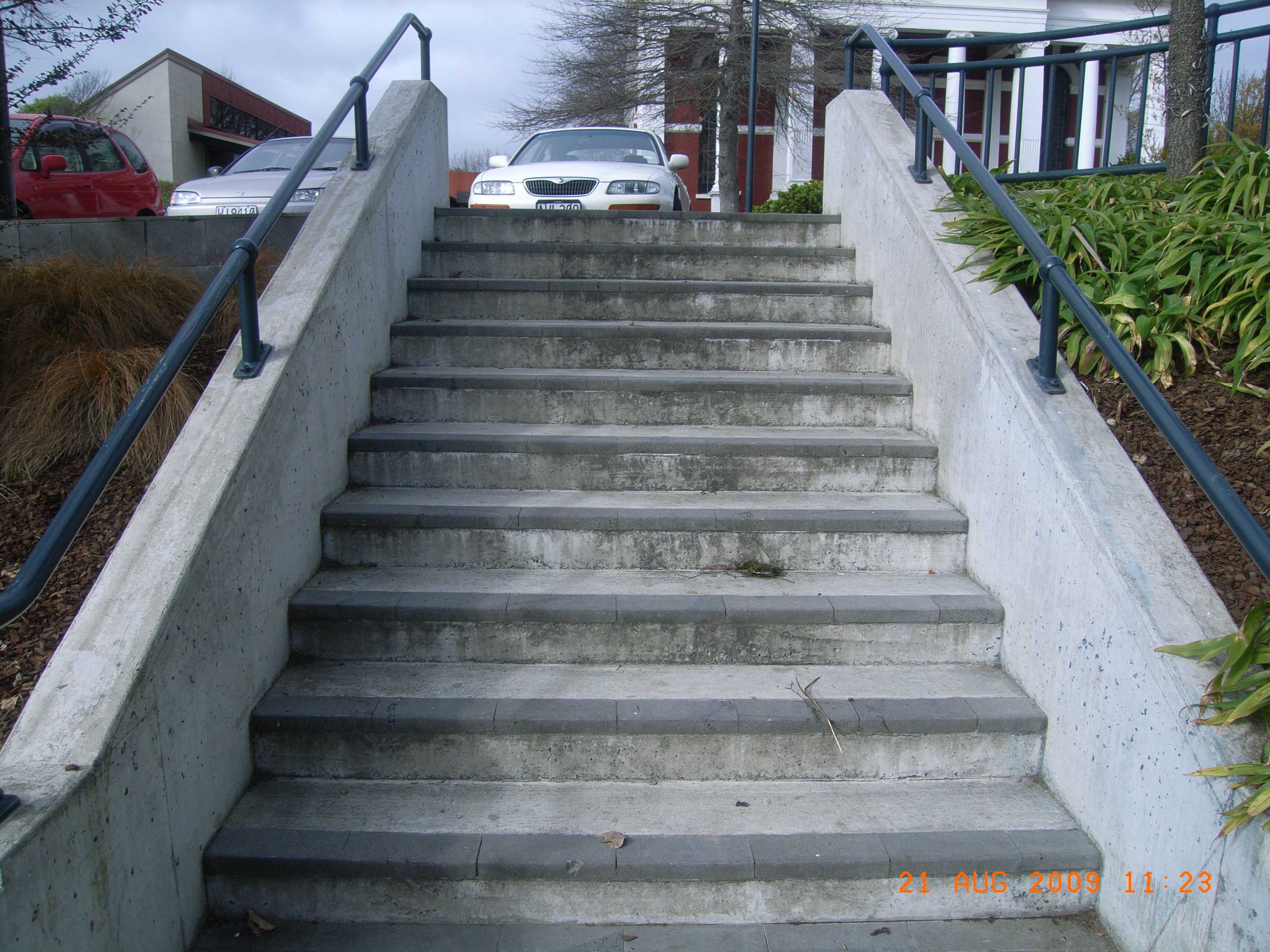 A set of steps at Fire Fighters Reserve, 10 steps · built 2005
The register along it
Heritage-register places within 150 m of the line, what stood on the ground it crosses, or still does.
- Edmonds Clock Tower, Telephone Cabinet and Setting, 295F Madras Street · 31 m
- Dwellings and Setting, 86 Chester Street East · 39 m
- Dwellings and Setting, 100 Chester Street East · 72 m
- Poplars, Lamp Standards and Setting · 123 m
The reports along it
2,047 reports pinned within 150 m of the drawn line, most often Graffiti & vandalism and Trees & parks, 1,727 with a photograph. A pin is where a reporter stood, not a claim about the track itself.
 Dumped Rubbish, Madras St, Canterbury, Christchurch 8011, New Zealand · 11 October 2026
 Playground Equipment, 177 Armagh St, Canterbury, Christchurch 8011, New Zealand · 11 October 2026
 Graffiti on a fence, building or structure, 82 Chester Street East, Christchurch Central City, Christchurch 8011, New Zealand · 9 October 2026
 Graffiti on a playground or in a park, 177 Armagh Street, Christchurch Central City, Christchurch 8011, New Zealand · 9 October 2026
 Graffiti on a fence, building or structure, 100 Chester Street East, Christchurch Central City, Christchurch 8011, New Zealand · 7 October 2026
 Graffiti on a fence, building or structure, 98 Chester Street East, Christchurch Central City, Christchurch 8011, New Zealand · 7 October 2026
 Graffiti on a sign, mural or public art, 100 Chester Street East, Christchurch Central City, Christchurch 8011, New Zealand · 7 October 2026
 General Request, 211 Kilmore Street, Christchurch Central City, Christchurch 8013, New Zealand · 5 October 2026
 Hazard, vehicle, 177 Armagh St, Canterbury, Christchurch 8011, Nouvelle-Zélande · 4 October 2026
 Pavement - General, 282 Madras St, Canterbury, Christchurch 8011, New Zealand · 1 October 2026
 Playground Equipment, 177 Armagh St, Canterbury, Christchurch 8011, New Zealand · 1 October 2026
 Water Leak, 116 Chester St East, Canterbury, Christchurch 8011, New Zealand · 26 September 2026
Environment Canterbury / Canterbury Maps, the walking, bike, horse and off-road track layers · refreshed 15 October 2026. The layer names Christchurch City Council as the track’s keeper.
What stood on this ground before → · On the map → · One end of the drawn line → · The other end of the drawn line →
Questions, answered briefly
102 m of drawn line.
The track API flags this line in the walking and bike layers. Those flags identify mapped routes, not permission or current public access.
Through Christchurch Central City, every suburb the line crosses.
Christchurch City Council, as the layer names the keeper.
Environment Canterbury’s open track layers, the walking, bike, horse and off-road layers read together.