132–148 Wainui Main Road
2 council reports since June 2025, 2 carrying a photograph. The street’s heaviest record is 772 Wainui Main Road, 15 reports on file.
The named ground
Named places within 1.5 km of this address; the council’s own structure register, bridges, boardwalks and steps standing nearby, the open map’s record.
What gets reported here
- General Request, 1
- Damaged Road, 1
Photographed here 2 on record

What’s on record
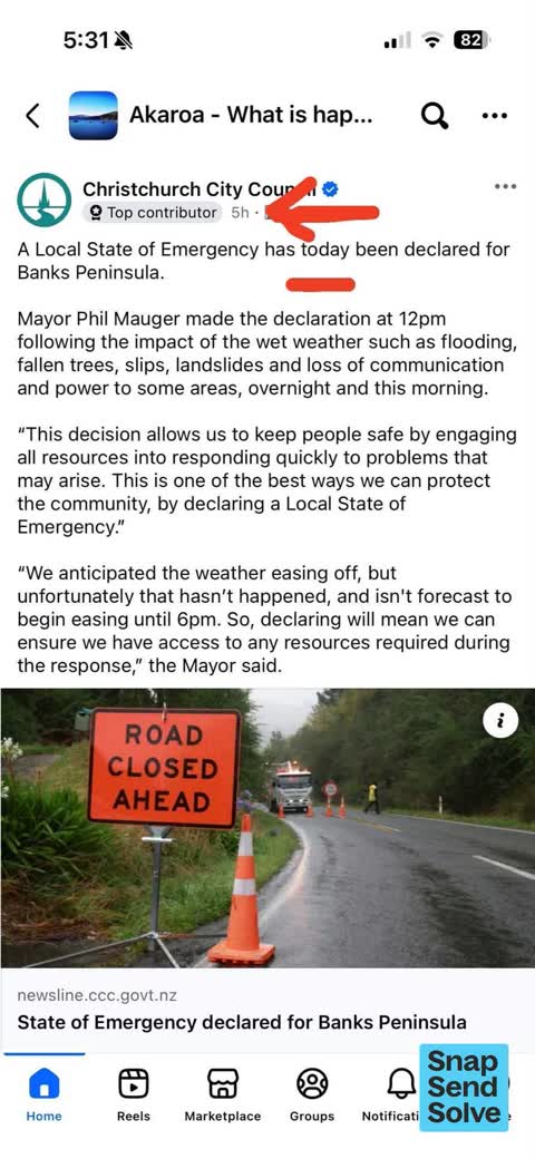
 General Request, 26 Feb 2026
Ccc is posting outdated information on local Akaroa pages about the storm and road closures They did this directly after the storm event a
 Damaged Road, 14 Jun 2025
As previously reported. There are still lose bits of gravel on wainui main road after the road repairs done . Often hear or see gravel flyin
Elsewhere on Wainui Main Road
- 772 Wainui Main Road, 15 reports
- 146 Wainui Main Road, 10 reports
- 830 Wainui Main Road, 9 reports
- 816 Wainui Main Road, 9 reports
- 54–130 Wainui Main Road, 8 reports
- 840 Wainui Main Road, 7 reports
- 834 Wainui Main Road, 6 reports
- 174-42 Wainui Main Road, 6 reports
The street’s crash record
NZTA’s record names Wainui Main Road in 13 crashes that hurt somebody since 2006, 3 seriously hurt, nobody killed.
The civic layer
This ground votes in Banks Peninsula ward, the Banks Peninsula community board is its local layer. Ward lines don’t always follow suburb lines; this one is measured at the pin, not the suburb’s centre. The whole roll is at /wards.
Wainui Main Road, the whole record → · Everything about Wainui → · What stood on this ground → · On the map → · From the air, RetroLens holds the Crown’s aerials back to 1936; search the address there →
Questions, answered briefly
2 council reports on record since June 2025, most often general request (1), damaged road (1).
Wainui, Christchurch, on Wainui Main Road.
Nothing on the heritage register at this exact spot, the record around this ground →