800 Wainui Main Road
4 council reports since December 2021, 4 carrying a photograph. The street’s heaviest record is 772 Wainui Main Road, 15 reports on file.
The green nearby
- Wainui Esplanade Reserve, 53 m to the edge
- Stanbury Reserve, 155 m to the edge · 2 ha
- Wainui Domain, 220 m to the edge
- Wainui Boat Ramp, 300 m to the edge
- Wainui Main Road Reserve, 436 m to the edge
Parks within half a kilometre, measured to the boundary, the council’s open data. The whole roll is at /parks.
The named ground
Named places within 1.5 km of this address; the council’s own structure register, bridges, boardwalks and steps standing nearby, the open map’s record.
What gets reported here
Photographed here 4 on record


What’s on record
 Flooding, 7 Apr 2026
 Kia ora, We have become aware of slash in the Wainui Stream - see photos attached - and are concerned that if a similar storm event to Feb
 Poles and Signage - General, 3 Jan 2024
 Nearly off the pole.
 Roading/Streets, 9 Feb 2022
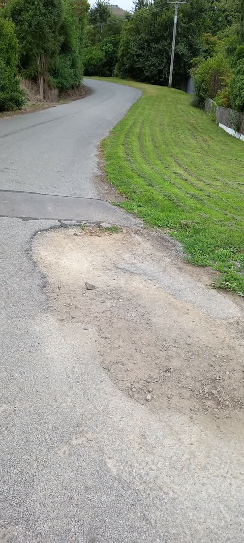
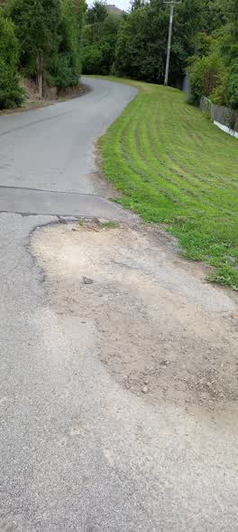
 Road needs repairing. One pothole fixed but one next to it ignored.
 Roading/Streets, 29 Dec 2021
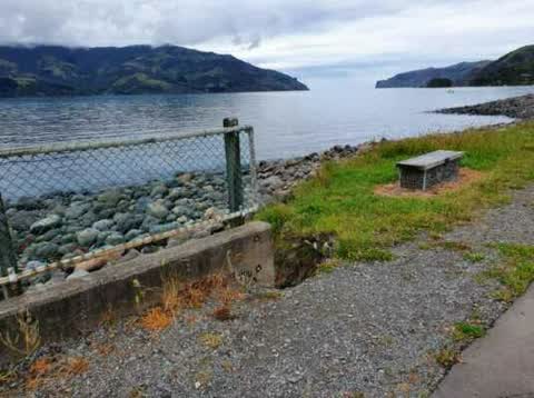
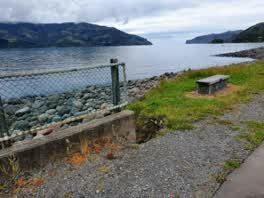
 Storm and recent flooding have started to wash away the sides of the bridge going over Wainui creek on Wainui Main road just past Cemetery r
Elsewhere on Wainui Main Road
- 772 Wainui Main Road, 15 reports
- 146 Wainui Main Road, 10 reports
- 830 Wainui Main Road, 9 reports
- 816 Wainui Main Road, 9 reports
- 54–130 Wainui Main Road, 8 reports
- 840 Wainui Main Road, 7 reports
- 834 Wainui Main Road, 6 reports
- 174-42 Wainui Main Road, 6 reports
The street’s crash record
NZTA’s record names Wainui Main Road in 13 crashes that hurt somebody since 2006, 3 seriously hurt, nobody killed.
The civic layer
This ground votes in Banks Peninsula ward, the Banks Peninsula community board is its local layer. Ward lines don’t always follow suburb lines; this one is measured at the pin, not the suburb’s centre. The whole roll is at /wards.
Wainui Main Road, the whole record → · Everything about Wainui → · What stood on this ground → · On the map → · From the air, RetroLens holds the Crown’s aerials back to 1936; search the address there →
Questions, answered briefly
4 council reports on record since December 2021, most often roading/streets (2), poles and signage - general (1), flooding (1).
Wainui, Christchurch, on Wainui Main Road.
Nothing on the heritage register at this exact spot, the record around this ground →
Wainui Esplanade Reserve, 53 m to its edge.