The quarantine shore
Nine entries along the harbour’s south shore, and three of them are the quarantine station the harbour once was, the barracks, the cemetery, and Ripapa Island out in the water. Long gaps between stops; this one is a drive or a ride as much as a walk.
The walk, as a line
Straight between pins, the streets run longer. Every numbered pin opens that place’s own record.
The stops, in order
- Millhouse and Setting · Heritage NZ list 4392 · 19 unread leads
The millhouse at Charteris Bay, the shore’s working start.
- Former Charteris Bay School and Setting · Heritage NZ list 5276 · 2 unread leads
The former Charteris Bay school.
- Stables and Setting · Heritage NZ list 5285 · 20 unread leads
The stables, the school’s companion entry.
- Dwelling and Setting, The Whare, 16A Camp Bay Road · Heritage NZ list 7157 · 20 unread leads
The Whare, a named dwelling on the shore.
- Dwelling and Setting, Purau, 16A Camp Bay Road · Heritage NZ list 280 · 20 unread leads
Purau, the next bay’s named dwelling.
- Former Quarantine Barracks and Setting · Heritage NZ list 7408 · 9 unread leads
The former quarantine barracks, the harbour kept its isolation ward.
- Dwelling and Setting, Stoddart's Cottage, 18 Purau Avenue · Heritage NZ list 3088 · 4 unread leads
Stoddart’s Cottage, the named cottage on the point side.
- Quarantine Cemetery, 450 Camp Bay Road · 28 unread leads
The quarantine cemetery, the station’s dead, still on the roll.
- Ripapa Island/ Fort Jervois and Setting · Heritage NZ list 5306 · 9 unread leads
Ripapa Island and Fort Jervois, the island itself is the last entry.
What the register built on the way
Council structures within about 30 m of the stop-to-stop line, the bridges, steps and shelters the route passes. Site names are the register’s own.
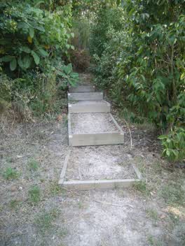 A set of steps at Ron Arnold Reserve, 59 m long · built 2008
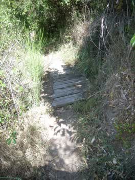 A footbridge at Stoddart Point Reserve, 4 m long · built 2008
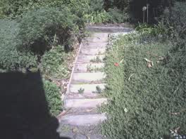 A set of steps at Stoddart Point Reserve, 11 steps · built 2011 6 m off the line
- A shelter at Stoddart Point Reserve, built 2015 7 m off the line
- A boardwalk at Stoddart Point Reserve, built 2000 7 m off the line
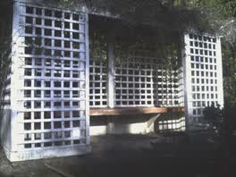 A shelter at Stoddart Point Reserve, built 2011 8 m off the line
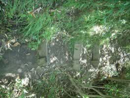 A set of steps at Stoddart Point Reserve, 2 m long · built 2008 9 m off the line
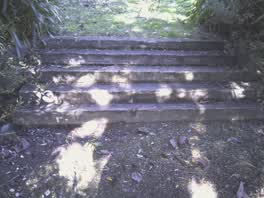 A set of steps at Stoddart Point Reserve, 5 steps · built 2011 9 m off the line
The reports along it
752 council reports pinned within 150 m of the line, most often Roads & footpaths and Water & drains, 599 with a photograph. A pin is where a reporter stood, not a claim about the place itself.
 Graffiti on a bus stop or public toilet
 Flooding
 Water Leak
 Water General
 Overgrown Vegetation
 Trees - General
 Pavement - Damaged
 Trees - General
 Trees - General
 Trees - General
 Trees - General
 Pothole
Questions, answered briefly
Nine entries along the harbour’s south shore, and three of them are the quarantine station the harbour once was, the barracks, the cemetery, and Ripapa Island out in the water. 9 listed places, 19.4 km as the line runs, Diamond Harbour.
Millhouse and Setting to Ripapa Island/ Fort Jervois and Setting, the order is a suggestion, not the only way round.
Every one, each pin is a row in the district plan’s heritage schedule, and each opens the place’s own sourced record here.
19.4 km measured straight between the pins, the streets run longer, and the stops deserve a pause each.
The record behind this
Every stop is a row in the district plan’s heritage schedule, held here as the register’s own layer. The order and the notes are ours, the listings are the council’s and Heritage New Zealand’s. "Setting" is the register’s word for the ground a listing covers.
The rest of the register here: Diamond Harbour
The same ground today: Diamond Harbour
This page as markdown: /walks/diamond-harbour-quarantine.md · the route as data: /walks/diamond-harbour-quarantine.geojson · on the live map: the walks layer.