124 Wigram Road, Wigram
15 reports on record since July 2019 · 9 with photographs. The street’s heaviest record is 122 Wigram Road — 38 reports on file. Indicative rating valuation and school zones, hazards, bin day and what stood here before.
What gets reported here
- Roading/Streets — 3
- Pavement - General — 3
- Parks — 3
- Roads - General — 1
- Road Signage — 1
- Overgrown Vegetation — 1
Photographed here 9 on record



Reported here
 Damaged Road —
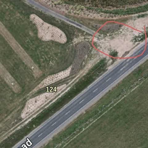
 Wigram Road surface is collapsing, outside new parks depot.
- Roads - General —
During the Hayton / Wigram road works, can you please ensure to widen the cycle way between Hayton road and Musgrove close to an acceptable
 Dumped Rubbish —
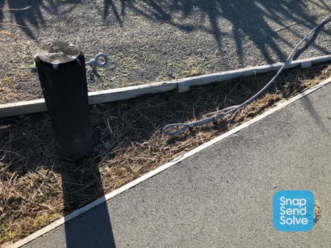
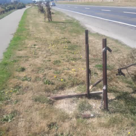
 fencing panel sitting in grass. needs picking up and taken away
- Pavement - General —
Please concrete this area. It’s becoming a mud pit. Cyclists need to get onto the road from the cycleway that has been created. This should
 Accessibility —
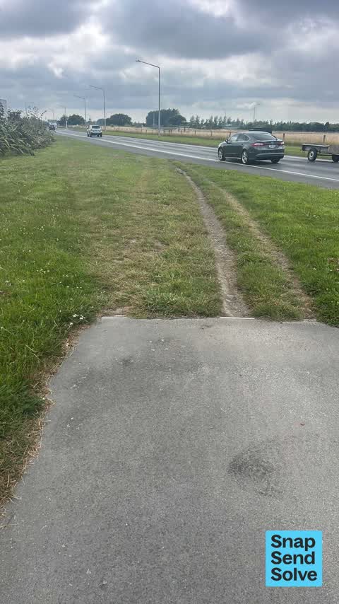
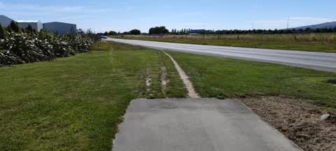
 This foot path/bike path ends abruptly!
 Road Signage —
 No stopping signage faded
- Pavement - General —
- Pavement - General —
- Overgrown Vegetation —
 Parks —
  Roading/Streets —
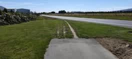
 Any chance this path can be extended to the cycle/walk way a bit further down?
 Parks —
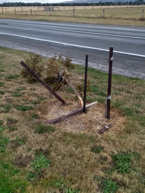
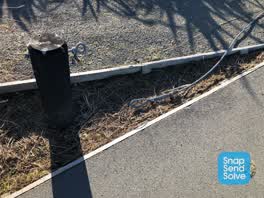
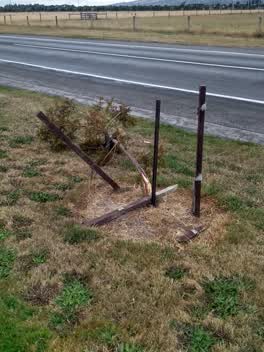
 dead tree
Parks —
tree down putangitangi reserve wigram rd berm
- Roading/Streets —
There is a sheep out of the fence on Wigram Road. It is on the side of the road eating grass but could potentially go onto the road.
Roading/Streets —
Unfinished section of cycleway is a muddy track which caused me to fall off bike and slide into side of the live-lane on Wigram Road. This
Also reported on Wigram Road
- 122 Wigram Road — 38 reports
- 92 Wigram Road — 8 reports
- 306 Wigram Road — 6 reports
- 291R Wigram Road — 6 reports
- 82 Wigram Road — 5 reports
- 243A Wigram Road — 5 reports
- 187 Wigram Road — 5 reports
- 101 Wigram Road — 5 reports
The street’s crash record
NZTA’s record names Wigram Road in 19 crashes that hurt somebody since 2006 — 5 seriously hurt, nobody killed.
The green nearby
- Hayton Stream 2 Drainage Reserve — 27 m to the edge · 3 ha
- Nga Puna Wai North — 30 m to the edge · Sports ground · 11 ha
- Mariposa Corridor Reserve — 445 m to the edge
- Broken Run Reserve — 479 m to the edge · 3 ha
Parks within half a kilometre, measured to the boundary — the council’s open data.
On the doorstep
- blum — 102 m away · Trade
- Jolly Seafood Restaurant — 171 m away · Restaurants
- Carus — 177 m away · Painters & decorators
- Super Liquor - Wigram — 198 m away · Bottle stores
Businesses within four hundred metres, measured at the pin — OpenStreetMap and the council directories.
The bus nearby
- Skyhawk near Kittyhawk Avenue — 444 m away · route 60
The closest Metro stops, within four hundred and fifty metres.
The tracks through here
- Walk and bike track through Wigram — 49 m to the line · walk · bike
- Walk and bike track through Wigram — 130 m to the line · walk · bike
Tracks whose line passes within half a kilometre, measured to the line itself — the council’s open data.
The named ground
Named water within 500 m of this address, measured to the line or the edge; Named places within 1.5 km of this address; the council’s own structure register — bridges, boardwalks and steps standing nearby — the open map’s record.
Renting nearby
new bonds in Wigram ran about $697 a week — $147 above the city median of $550 — the suburb page keeps the rent record →.
The civic layer
This ground votes in Halswell ward — the Halswell-Hornby-Riccarton community board. Ward lines don’t always follow suburb lines; this one is measured at the pin, not the suburb’s centre.
What stood on this ground → · On the map → · From the air — the Crown’s aerials back to 1936; search the address on RetroLens →
Questions, answered briefly
15 council reports on record since July 2019 — most often roading/streets (3), pavement - general (3), parks (3).
Wigram, Christchurch — on Wigram Road.
Nothing on the heritage register at this exact spot — the record around this ground →
Hayton Stream 2 Drainage Reserve — 27 m to its edge, 3 ha.