144 Richardson Terrace, Woolston
16 reports on record since December 2018 · 13 with photographs. The street’s heaviest record is 170 Richardson Terrace — 135 reports on file. Indicative rating valuation and school zones, hazards, bin day and what stood here before.
What gets reported here
Photographed here 13 on record


Reported here
 Water Leak —
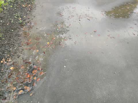
 Leaking water meter
 Water Leak —
 water meter flowing all over footpath
 Dumped Rubbish —
 Double sized mattress, pink floral pattern. Dumped on the corner bend opposite 144 Richardson Terrace.
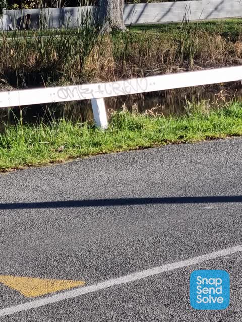
 Graffiti on a fence, building or structure —
  Dumped Rubbish —
 Looks to be a used syringe here. On the river bank
 Dumped Rubbish —
 Lino. A leather footrest, a large pink sheet with something wrapped in it.
 Dumped Rubbish —
  Dumped Rubbish —
 This has been here for a week. Seems like dumped rubbish. Might be HVAC?
 Dumped Rubbish —
 - Pothole —
- Pothole —
- Dumped Rubbish —
Sorry no photo, doing this from work. But massive pile of rubbish tied to a sign post by river.
 Dumped Rubbish —
 Tied to post to remove from trailer? Mostly building crap
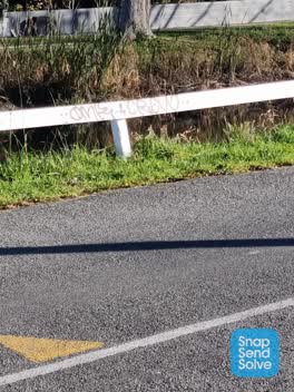 Graffiti —
 Water Supply —
Rubbish/Recycling —
Mattress and clothes dryer on the riverbank opposite 144 Richardson Tce.
Also reported on Richardson Terrace
- 170 Richardson Terrace — 135 reports
- 110 Richardson Terrace — 95 reports
- 26 Richardson Terrace — 48 reports
- 108 Richardson Terrace — 30 reports
- 24 Richardson Terrace — 29 reports
- 80 Richardson Terrace — 20 reports
- 134 Richardson Terrace — 20 reports
- 76 Richardson Terrace — 19 reports
The street’s crash record
NZTA’s record names Richardson Terrace in 13 crashes that hurt somebody since 2006 — 1 seriously hurt, nobody killed.
The green nearby
- Monro Playground — 245 m to the edge
- Radley Playground — 273 m to the edge
- Heathcote Riverbank Reserve — 300 m to the edge
Parks within half a kilometre, measured to the boundary — the council’s open data.
On the doorstep
- Fish & Chips on Ferry — 261 m away · Fast food
- Opawa Discounter — 308 m away · Dairies & convenience
- Gelato Lab — 343 m away · Ice cream
- J Mart — 344 m away · Dairies & convenience
Businesses within four hundred metres, measured at the pin — OpenStreetMap and the council directories.
The bus nearby
The closest Metro stops, within four hundred and fifty metres.
The tracks through here
- Walk and bike track through Woolston — 4 m to the line · walk · bike
- Walk and bike track through Woolston — 40 m to the line · walk · bike
- Walk and bike track through Woolston — 192 m to the line · walk · bike
- Walk and bike track through Woolston — 253 m to the line · walk · bike
- Walk and bike track through Woolston — 258 m to the line · walk · bike
Tracks whose line passes within half a kilometre, measured to the line itself — the council’s open data.
The named ground
Named water within 500 m of this address, measured to the line or the edge; the council’s own structure register — bridges, boardwalks and steps standing nearby — the open map’s record.
Renting nearby
new bonds in Woolston ran about $511 a week — $39 below the city median of $550 — the suburb page keeps the rent record →.
What was here — Dwelling and Setting, The Hollies
243 m away · 188 Richardson Terrace · located to ±22 m · the place’s own record →
On the register. Nothing researched here yet.
The civic layer
This ground votes in Linwood ward — the Coastal-Burwood-Linwood community board. Ward lines don’t always follow suburb lines; this one is measured at the pin, not the suburb’s centre.
What stood on this ground → · On the map → · From the air — the Crown’s aerials back to 1936; search the address on RetroLens →
Questions, answered briefly
16 council reports on record since December 2018 — most often dumped rubbish (8), water leak (2), pothole (2).
Woolston, Christchurch — on Richardson Terrace.
The heritage register names a place at or beside it — Dwelling and Setting, The Hollies.
Monro Playground — 245 m to its edge.