18 Keswick Street, Woolston
18 reports on record since January 2018 · 6 with photographs. The most-reported address on Keswick Street. Indicative rating valuation and school zones, hazards, bin day and what stood here before.
What gets reported here
- Water Leak — 9
- Pothole — 4
- Animal - Deceased — 2
- Rubbish/Recycling — 1
- Litter — 1
- Hazard — vehicle — 1
Photographed here 6 on record


Reported here
 Hazard — vehicle —
 Car parked on road, no registration plates. Outside 15 Keswick Street Woolston. Thanks. ( Note, various other vehicles parked near the house
 Pothole —
 Pothole in the usual spot
 Pothole —
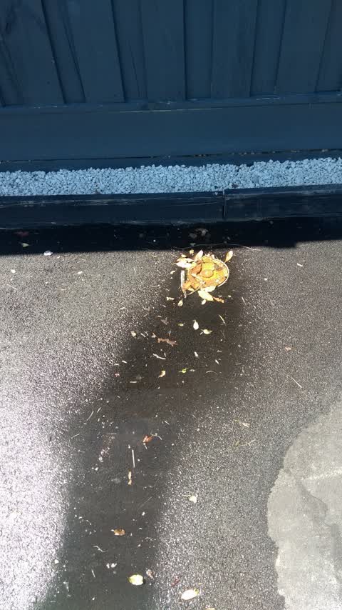
 Potholes in a line across the street
 Litter —
 Litter, one small 2 seater couch, outside 18 Keswick Street Woolston.
- Animal - Deceased —
- Pothole —
- Animal - Deceased —
- Water Leak —
- Water Leak —
- Water Leak —
- Pothole —
- Water Leak —
- Water Leak —
- Water Leak —
- Water Leak —
- Water Leak —
 Water Leak —
 Rubbish/Recycling —
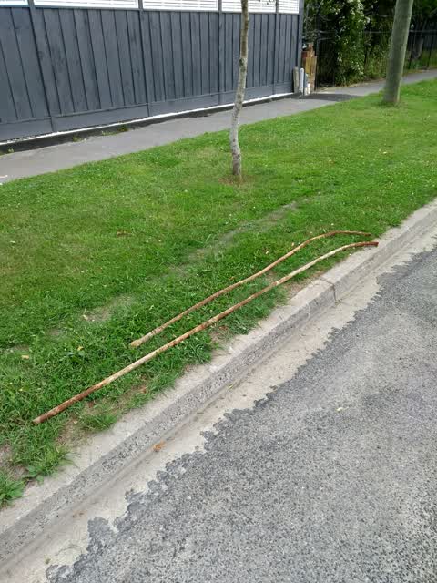
Pipes left here before Xmas. Maybe by guys who dug the trench for fibre cables.
Also reported on Keswick Street
- 20 Keswick Street — 4 reports
- 17 Keswick Street — 4 reports
- 25 Keswick Street — 3 reports
- 24 Keswick Street — 3 reports
- 16 Keswick Street — 3 reports
- 15 Keswick Street — 3 reports
- 9-25 Keswick Street — 2 reports
- 23 Keswick Street — 2 reports
The green nearby
- Woolston Park — 415 m to the edge · Sports ground · 5 ha
- Radley Playground — 439 m to the edge
Parks within half a kilometre, measured to the boundary — the council’s open data.
On the doorstep
- David Woodings Gallery — 146 m away · Galleries
- Hopkins St Fish and Chips — 158 m away · Fast food
- Dairy — 163 m away · Dairies & convenience
- Fish & Chips on Ferry — 273 m away · Fast food
Businesses within four hundred metres, measured at the pin — OpenStreetMap and the council directories.
The tracks through here
- Walk and bike track through Woolston — 95 m to the line · walk · bike
- Walk and bike track through Woolston — 280 m to the line · walk · bike
- Walk and bike track through Woolston — 321 m to the line · walk · bike
- Walk and bike track through Woolston — 371 m to the line · walk · bike
- Walk and bike track through Woolston — 377 m to the line · walk · bike
Tracks whose line passes within half a kilometre, measured to the line itself — the council’s open data.
The named ground
Named water within 500 m of this address, measured to the line or the edge — the open map’s record.
Renting nearby
new bonds in Woolston ran about $511 a week — $39 below the city median of $550 — the suburb page keeps the rent record →.
The civic layer
This ground votes in Linwood ward — the Coastal-Burwood-Linwood community board. Ward lines don’t always follow suburb lines; this one is measured at the pin, not the suburb’s centre.
What stood on this ground → · On the map → · From the air — the Crown’s aerials back to 1936; search the address on RetroLens →
Questions, answered briefly
18 council reports on record since January 2018 — most often water leak (9), pothole (4), animal - deceased (2).
Woolston, Christchurch — on Keswick Street.
Nothing on the heritage register at this exact spot — the record around this ground →
Woolston Park — 415 m to its edge, 5 ha.