25 Lester Lane, Addington
18 reports on record since December 2016 · 11 with photographs. The street’s heaviest record is 15 Lester Lane — 19 reports on file. Indicative rating valuation and school zones, hazards, bin day and what stood here before.
What gets reported here
Photographed here 11 on record


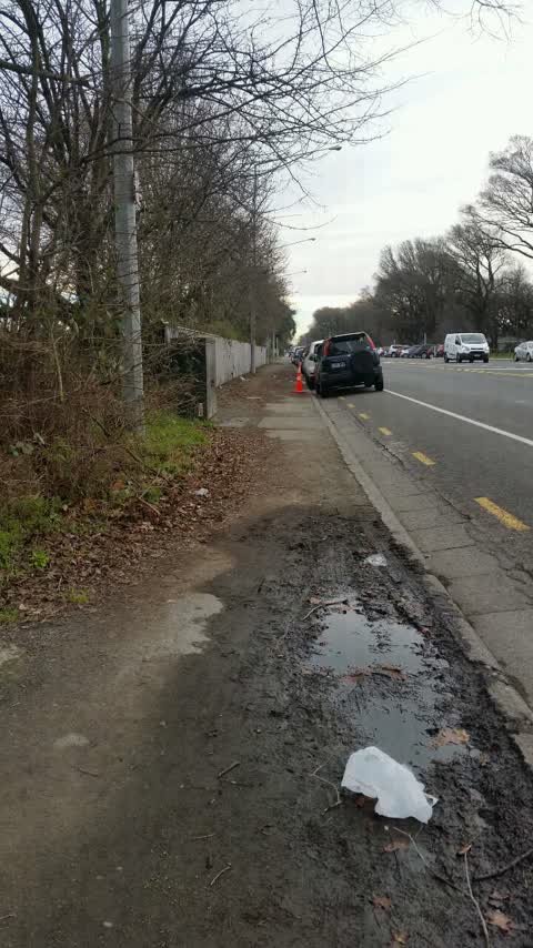
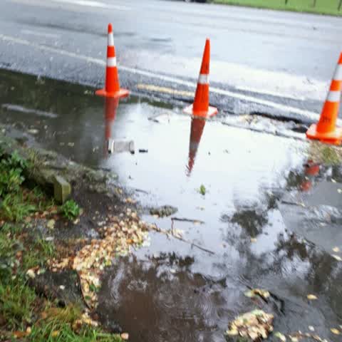
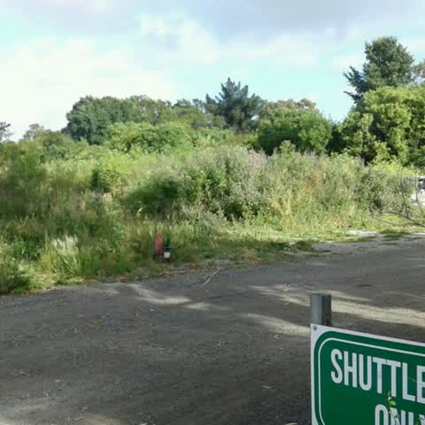
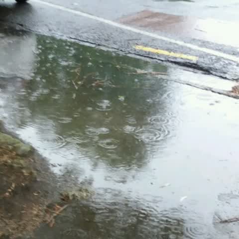
Reported here
 Hazard — vehicle —
 Car parked on yellow lines, restricting truck and trailer access into work area - Fulton Hogan compound
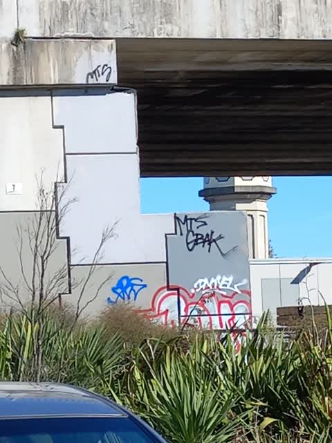
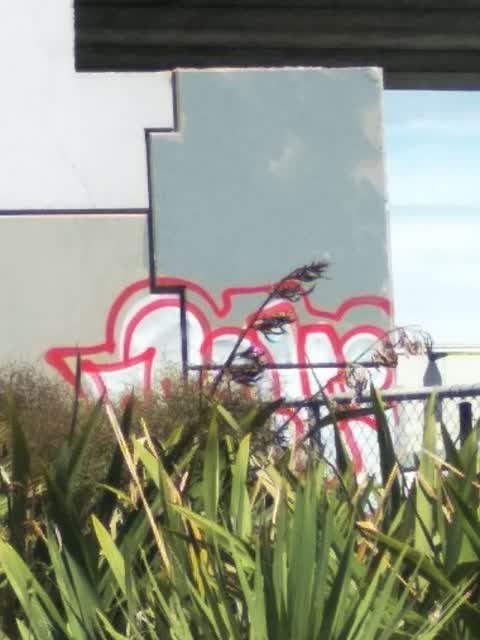
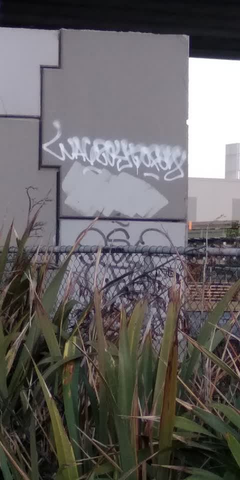
 Graffiti on a fence, building or structure —
 Graffiti on femce
 Street Light Outage —
 Along the walkway besides NZ Blood Service there is a light out
- Graffiti —
- Hazard — vehicle —
- Graffiti —
- Graffiti —
- Graffiti —
- Graffiti —
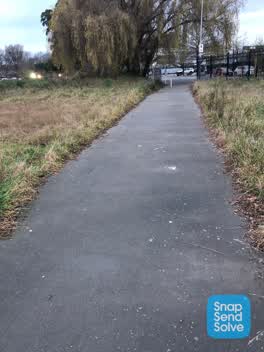 Roading/Streets —
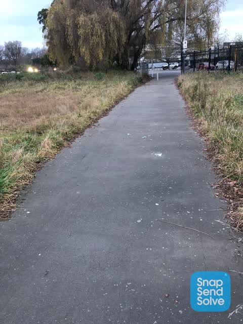
 Sorry for the poor photos but there is a lot of glass in the path between the train tracks and the end of Lester lane
- Roading/Streets —
Broken glass on footpath/ cycleway
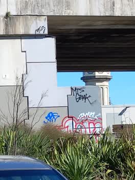 Graffiti —
 Near NZ Blood Service on railway lines side
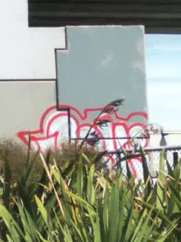 Graffiti —
 Between railway and underpass
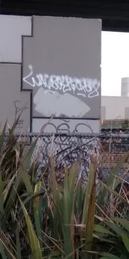 Graffiti —
 NZTA?
Roading/Streets —
Please clean up rubish this side of Deans Ave
Roading/Streets —
Footpath is flooding when ever it rains forcing people on to deans ave with it's busy traffic. Note, there are usually parked cars on this s
Rubbish/Recycling —
Undesirables living in bush that has grown there, police called Fri 16th due to suspected gun shot and arrested a homeless man. Could you pl
Roading/Streets —
Foot path on corner of Deans Ave and Lester Lane floods in the rain forcing pedestrians onto the road to get past. Happens on ohter sections
Also reported on Lester Lane
- 15 Lester Lane — 19 reports
- 9 Lester Lane — 12 reports
- 3 Lester Lane — 11 reports
- 19–23 Lester Lane — 2 reports
- 19 Lester Lane — 1 report
- 17–19 Lester Lane — 1 report
The street’s crash record
NZTA’s record names Lester Lane in 3 crashes that hurt somebody since 2006 — 0 seriously hurt, nobody killed.
The green nearby
- Hagley Park South — 157 m to the edge · Sports ground · 71 ha
- Christchurch Railway Station Reserve — 222 m to the edge · Botanic
- Longley Reserve — 396 m to the edge
- Walsall Reserve — 481 m to the edge
Parks within half a kilometre, measured to the boundary — the council’s open data.
On the doorstep
- NZ Blood — 71 m away · Blood Donation
- Animates — 185 m away · Pet shops
- Number One Shoes — 204 m away · Shoes
- Coastal Pacific Train — 208 m away · Attractions
Businesses within four hundred metres, measured at the pin — OpenStreetMap and the council directories.
The bus nearby
- Mandeville St — 433 m away · route 140
The closest Metro stops, within four hundred and fifty metres.
The tracks through here
- Walk and bike track through Addington — 63 m to the line · walk · bike
- Walk and bike track through Addington — 110 m to the line · walk · bike
- Walk and bike track through Addington — 204 m to the line · walk · bike
- Walk and bike track through Addington — 234 m to the line · walk · bike
- Walk and bike track through Addington — 293 m to the line · walk · bike
Tracks whose line passes within half a kilometre, measured to the line itself — the council’s open data.
The named ground
Named water within 500 m of this address, measured to the line or the edge; Named places within 1.5 km of this address — the open map’s record.
The remembered names nearby
- Addington Water Tower Ipenz Recognises This Engineering — 229 m away ·
ADDINGTON WATER TOWER IPENZ RECOGNISES THIS ENGINEERING WORK AS AN IMPORTANT PART OF N.Z.’
· 2008
Inscribed plaques within two hundred and fifty metres — the register’s pins, not surveyed spots. The whole roll is at /plaques.
Renting nearby
new bonds in Addington ran about $502 a week — $48 below the city median of $550 — the suburb page keeps the rent record →.
What was here — Former Addington Railway Workshops Water Tower and Setting
230 m away · 66H Clarence Street · located to ±11 m · the place’s own record →
On the register. Nothing researched here yet.
The civic layer
This ground votes in Riccarton ward — the Halswell-Hornby-Riccarton community board. Ward lines don’t always follow suburb lines; this one is measured at the pin, not the suburb’s centre.
What stood on this ground → · On the map → · From the air — the Crown’s aerials back to 1936; search the address on RetroLens →
Questions, answered briefly
18 council reports on record since December 2016 — most often graffiti (8), roading/streets (5), hazard — vehicle (2).
Addington, Christchurch — on Lester Lane.
The heritage register names a place at or beside it — Former Addington Railway Workshops Water Tower and Setting.
Hagley Park South — 157 m to its edge, 71 ha.