15 Lester Lane, Addington
19 reports on record since September 2015 · 9 with photographs. The most-reported address on Lester Lane. Indicative rating valuation and school zones, hazards, bin day and what stood here before.
What gets reported here
- Roading/Streets — 6
- Overgrown Vegetation — 3
- Graffiti — 3
- Dumped Rubbish — 2
- Water Supply — 1
- Trees - General — 1
Photographed here 9 on record


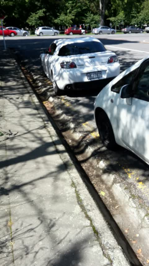
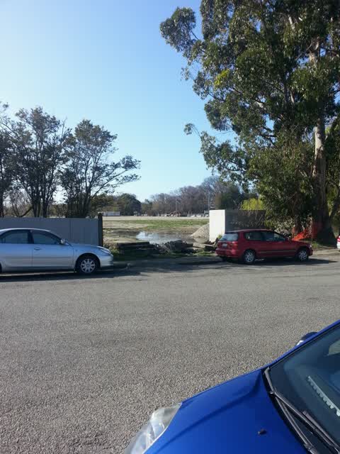
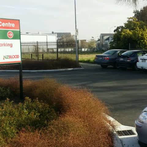
Reported here
 Roads - General —
 Missing section of bridge fence.
- Street Cleaning —
Broken alcohol bottles caused me to get 2 punctures. I’ll give up biking soon. You need to get some tax money from central government and sp
- Dumped Rubbish —
I was driving behind a CCC ute, licence plate: MFQ487, this afternoon at 2:50pm, driving over the Blenheim Rd over bridge near Tower Junctio
 Trees - General —
 This tree needs attention. It's at risk of causing energy.
- Overgrown Vegetation —
- Overgrown Vegetation —
- Overgrown Vegetation —
- Graffiti —
- Hazard — vehicle —
- Dumped Rubbish —
- Graffiti —
- Graffiti —
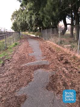 Roading/Streets —
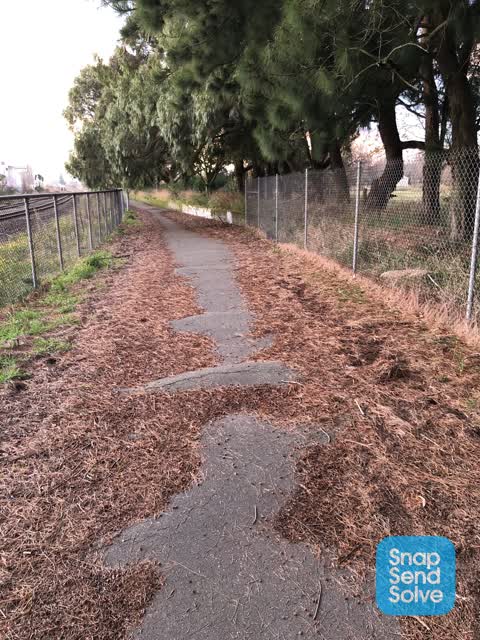
 I’ve been riding this path at the end of Lester lane for 6 months and it hasn’t had any maintenance done to it. It needs to be cleaned as th
Roading/Streets —
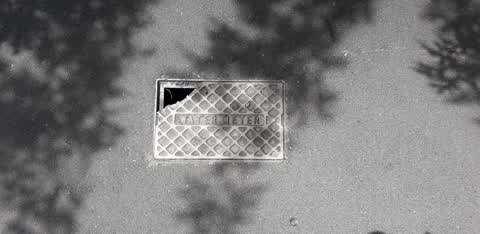
Damage to cover. Health and safety issues
Roading/Streets —
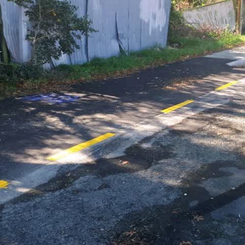
Why have yellow lines appeared at the end of Lester Lane? They don't appear to be protecting anything and have removed a significant number
Roading/Streets —
Footpath needs fixing requests from nz blood staff urgent
Roading/Streets —
Byl repaint needed
Water Supply —
Leaking well on empty lot
Roading/Streets —
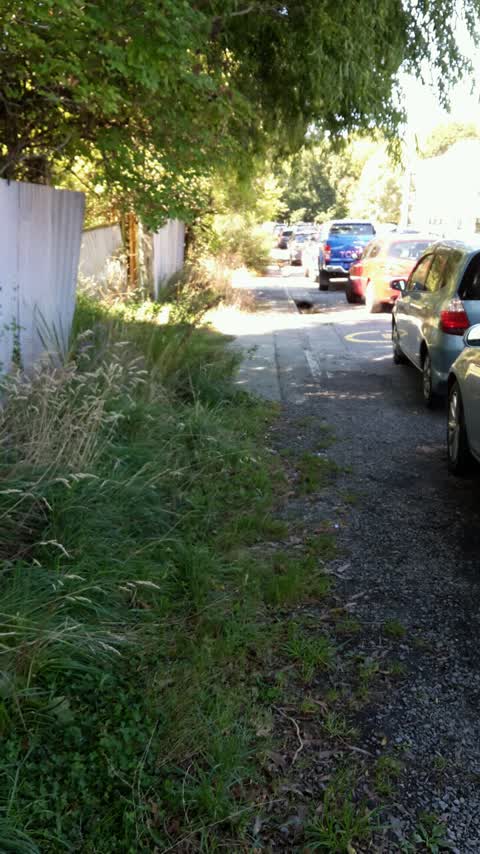
Need to add some 'no parking' markings to prevent people blocking the cycleway entrance
Also reported on Lester Lane
- 25 Lester Lane — 18 reports
- 9 Lester Lane — 12 reports
- 3 Lester Lane — 11 reports
- 19–23 Lester Lane — 2 reports
- 19 Lester Lane — 1 report
- 17–19 Lester Lane — 1 report
The street’s crash record
NZTA’s record names Lester Lane in 3 crashes that hurt somebody since 2006 — 0 seriously hurt, nobody killed.
The green nearby
- Hagley Park South — 172 m to the edge · Sports ground · 71 ha
- Christchurch Railway Station Reserve — 199 m to the edge · Botanic
- Longley Reserve — 363 m to the edge
- Walsall Reserve — 450 m to the edge
Parks within half a kilometre, measured to the boundary — the council’s open data.
On the doorstep
- NZ Blood — 47 m away · Blood Donation
- Animates — 163 m away · Pet shops
- Number One Shoes — 181 m away · Shoes
- Coastal Pacific Train — 182 m away · Attractions
Businesses within four hundred metres, measured at the pin — OpenStreetMap and the council directories.
The bus nearby
- Mandeville St — 446 m away · route 140
The closest Metro stops, within four hundred and fifty metres.
The tracks through here
- Walk and bike track through Addington — 77 m to the line · walk · bike
- Walk and bike track through Addington — 97 m to the line · walk · bike
- Walk and bike track through Addington — 205 m to the line · walk · bike
- Walk and bike track through Addington — 222 m to the line · walk · bike
- Walk and bike track through Addington — 319 m to the line · walk · bike
Tracks whose line passes within half a kilometre, measured to the line itself — the council’s open data.
The named ground
Named water within 500 m of this address, measured to the line or the edge; Named places within 1.5 km of this address — the open map’s record.
The remembered names nearby
- Addington Water Tower Ipenz Recognises This Engineering — 206 m away ·
ADDINGTON WATER TOWER IPENZ RECOGNISES THIS ENGINEERING WORK AS AN IMPORTANT PART OF N.Z.’
· 2008
Inscribed plaques within two hundred and fifty metres — the register’s pins, not surveyed spots. The whole roll is at /plaques.
Renting nearby
new bonds in Addington ran about $502 a week — $48 below the city median of $550 — the suburb page keeps the rent record →.
What was here — Former Addington Railway Workshops Water Tower and Setting
208 m away · 66H Clarence Street · located to ±11 m · the place’s own record →
On the register. Nothing researched here yet.
The civic layer
This ground votes in Riccarton ward — the Halswell-Hornby-Riccarton community board. Ward lines don’t always follow suburb lines; this one is measured at the pin, not the suburb’s centre.
What stood on this ground → · On the map → · From the air — the Crown’s aerials back to 1936; search the address on RetroLens →
Questions, answered briefly
19 council reports on record since September 2015 — most often roading/streets (6), overgrown vegetation (3), graffiti (3).
Addington, Christchurch — on Lester Lane.
The heritage register names a place at or beside it — Former Addington Railway Workshops Water Tower and Setting.
Hagley Park South — 172 m to its edge, 71 ha.