59 Woodills Road
4 council reports since September 2019, 3 carrying a photograph. The street’s heaviest record is 1 Woodills Road, 7 reports on file.
The green nearby
- Wackerle Green, 164 m to the edge
- L'aube Hill Reserve, 255 m to the edge · 7 ha
- Jubilee Park, 306 m to the edge · Botanic
- Akaroa Recreation Ground, 313 m to the edge · Sports ground · 3 ha
- Akaroa Boat Park, 372 m to the edge · 2 ha
Parks within half a kilometre, measured to the boundary, the council’s open data. The whole roll is at /parks.
The civic shelf nearby
- Akaroa Service Centre, 469 m away · Service centre
- Akaroa Collection Point, 495 m away · Transfer station
Libraries, halls and the rest within half a kilometre, the council’s open data.
On the doorstep
- Beaufort House, 201 m away · B&Bs
- La Rive Motel, 245 m away · Motels
- The Grand Hotel, 287 m away · Bars & pubs
- La Rochelle Motel, 315 m away · Hotels
Businesses within four hundred metres, measured at the pin, OpenStreetMap and the council directories.
The named ground
Named water within 500 m of this address, measured to the line or the edge; Named places within 1.5 km of this address; the council’s own structure register, bridges, boardwalks and steps standing nearby, the open map’s record.
What gets reported here
Photographed here 3 on record
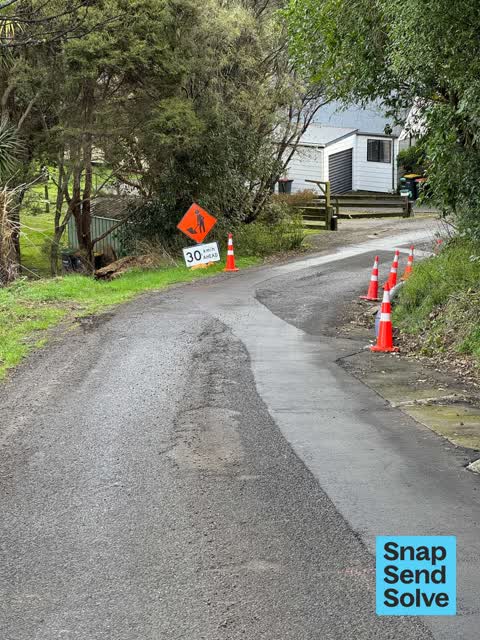

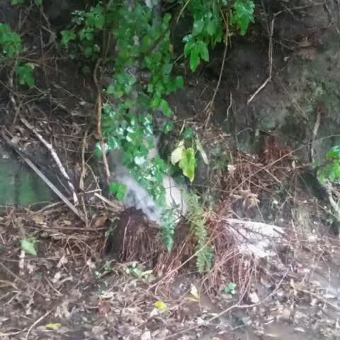
What’s on record
 Roads - General, 7 Aug 2024
 Having just had a near miss head on collision on the steep stretch of Woodills Road, can I reiterate my last two SSS requests which have bot
 Damaged Road, 6 May 2024
 My previous SSS was ignored with no response. Now that we have suffered the inconvenience of road closures and the work is coming to a close
- Water Leak, 19 Jan 2023
Wastewater/Stormwater, 21 Sept 2019
Blocked drain inlet? Overflows over road. More water on road than flowing through drainage chute.
Elsewhere on Woodills Road
- 1 Woodills Road, 7 reports
- 61 Woodills Road, 4 reports
- 9 Woodills Road, 3 reports
- 80 Woodills Road, 3 reports
- 34A Woodills Road, 3 reports
- 63 Woodills Road, 2 reports
- 45 Woodills Road, 2 reports
- 41 Woodills Road, 2 reports
The civic layer
This ground votes in Banks Peninsula ward, the Banks Peninsula community board is its local layer. Ward lines don’t always follow suburb lines; this one is measured at the pin, not the suburb’s centre. The whole roll is at /wards.
Woodills Road, the whole record → · Everything about Akaroa → · What stood on this ground → · On the map → · From the air, RetroLens holds the Crown’s aerials back to 1936; search the address there →
Questions, answered briefly
4 council reports on record since September 2019, most often water leak (1), wastewater/stormwater (1), roads - general (1).
Akaroa, Christchurch, on Woodills Road.
Nothing on the heritage register at this exact spot, the record around this ground →
Wackerle Green, 164 m to its edge.