64 Onuku Road
3 council reports since December 2021, 3 carrying a photograph. The street’s heaviest record is 11 Onuku Road, 7 reports on file.
The green nearby
- Green Point Park, 22 m to the edge · 4 ha
- Takapuneke Reserve, 65 m to the edge · Regional · 10 ha
- Beach Road Park, 244 m to the edge
- Clare Reserve, 319 m to the edge
- Britomart Memorial, 338 m to the edge · Botanic
Parks within half a kilometre, measured to the boundary, the council’s open data. The whole roll is at /parks.
The civic shelf nearby
- Akaroa Anglican And Dissenters Cemetery, 439 m away · Cemetery
- Akaroa Catholic Cemetery, 499 m away · Cemetery
Libraries, halls and the rest within half a kilometre, the council’s open data.
The named ground
Named places within 1.5 km of this address; the council’s own structure register, bridges, boardwalks and steps standing nearby, the open map’s record.
What gets reported here
Photographed here 3 on record

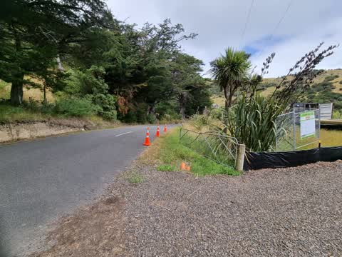
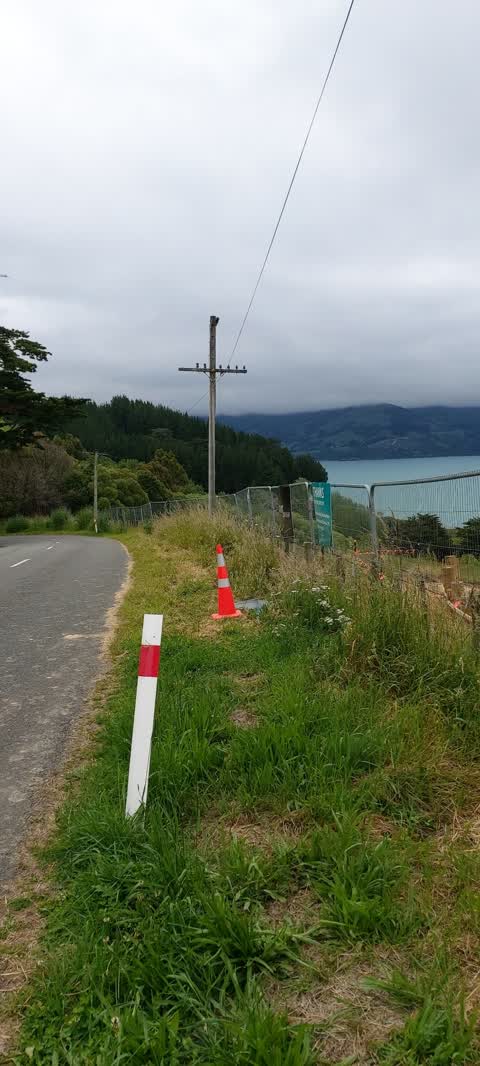
What’s on record
 Fallen Tree, 19 Jan 2024
 Branch off tree down to single lane
 Roading/Streets, 12 Jan 2022
 Hi Team Onuku Landfill and temporary carpark for takapuneke sight line clearance required. The sight line out of the Onuku landfill is poor
 Roading/Streets, 10 Dec 2021
 Gidday Team Can you please arrange for this verge to be mown to reduce fire risk and increase visibility to Stanley place and Onuku Roads
Elsewhere on Onuku Road
- 11 Onuku Road, 7 reports
- 103 Onuku Road, 7 reports
- 17 Onuku Road, 6 reports
- 15 Onuku Road, 6 reports
- 31 Onuku Road, 4 reports
- 296 Onuku Road, 4 reports
- 2 Onuku Road, 4 reports
- 68–326 Onuku Road, 3 reports
The street’s crash record
NZTA’s record names Onuku Road in 6 crashes that hurt somebody since 2006, 1 person killed, 1 seriously hurt.
The civic layer
This ground votes in Banks Peninsula ward, the Banks Peninsula community board is its local layer. Ward lines don’t always follow suburb lines; this one is measured at the pin, not the suburb’s centre. The whole roll is at /wards.
Onuku Road, the whole record → · Everything about Akaroa → · What stood on this ground → · On the map → · From the air, RetroLens holds the Crown’s aerials back to 1936; search the address there →
Questions, answered briefly
3 council reports on record since December 2021, most often roading/streets (2), fallen tree (1).
Akaroa, Christchurch, on Onuku Road.
Nothing on the heritage register at this exact spot, the record around this ground →
Green Point Park, 22 m to its edge, 4 ha.